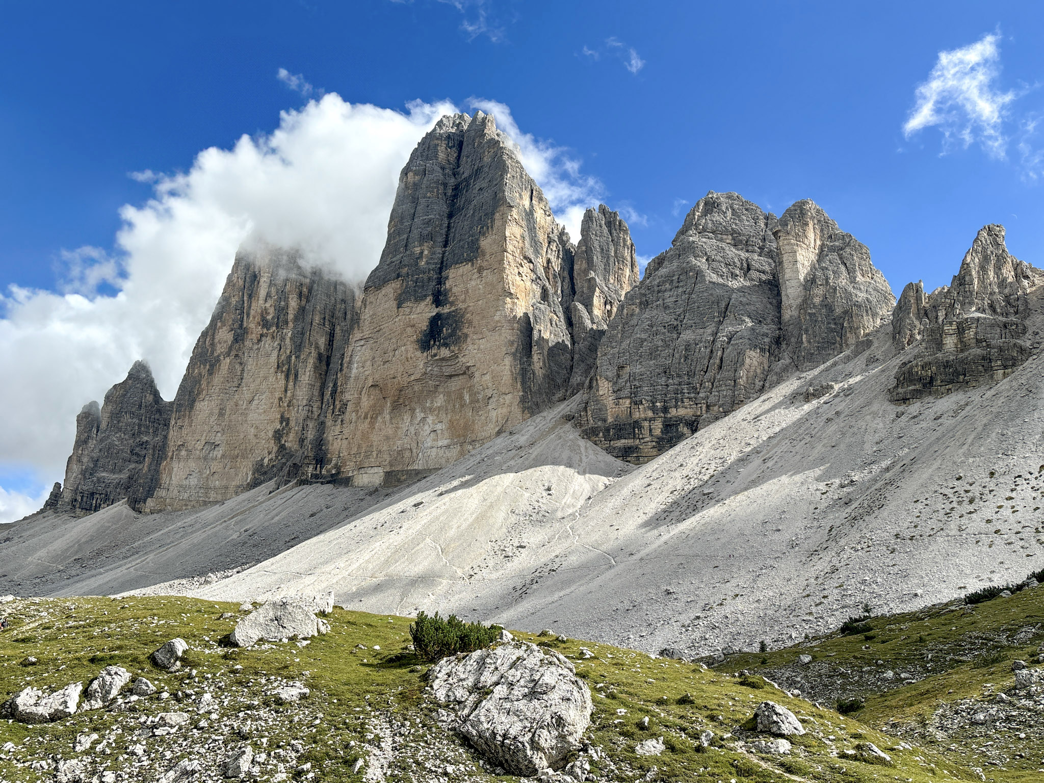
A practical and personal Cinque Torri hike guide from Giau Pass, covering the full loop via Averau, Nuvolau, and Scoiattoli huts, the WWI open-air museum, Rifugio Cinque Torri, plus notes on the most difficult sections and parking logistics.
I had wanted to do the Five Towers or ‘Cinque Torri’ hike from Giau Pass for years. It’s one of those Dolomites routes that kept coming back every time I looked at the best hikes around Cortina, always sounding like a very good idea.
I finally just did it on a Sunday in early July 2026, starting from Passo Giau and making the full loop: Rifugio Averau, Rifugio Nuvolau, then the descent toward Rifugio Scoiattoli, the Cinque Torri area, parts of the WWI open-air museum, lunch at Rifugio Cinque Torri, and then lastly the challenging route back to the pass. It’s a very visually satisfying hike, and you get so many iconic views along the way.
This guide covers the exact loop I did, the parking situation, where I stopped, how the trail felt, and what I’d know before hiking it again.
-
- Read more: 10 Best Hikes in the Dolomites, Italy
Cinque Torri Hike Route Overview
The route I followed is the classic Cinque Torri loop, starting and ending in Passo Giau. There’s no cable car needed, and you start hiking directly from the parking area.
From Passo Giau, I first hiked toward Rifugio Averau, then continued up to Rifugio Nuvolau, which is the highest point of the day and one of the best viewpoints on the whole route. From there, I descended toward Rifugio Scoiattoli and the Cinque Torri area.
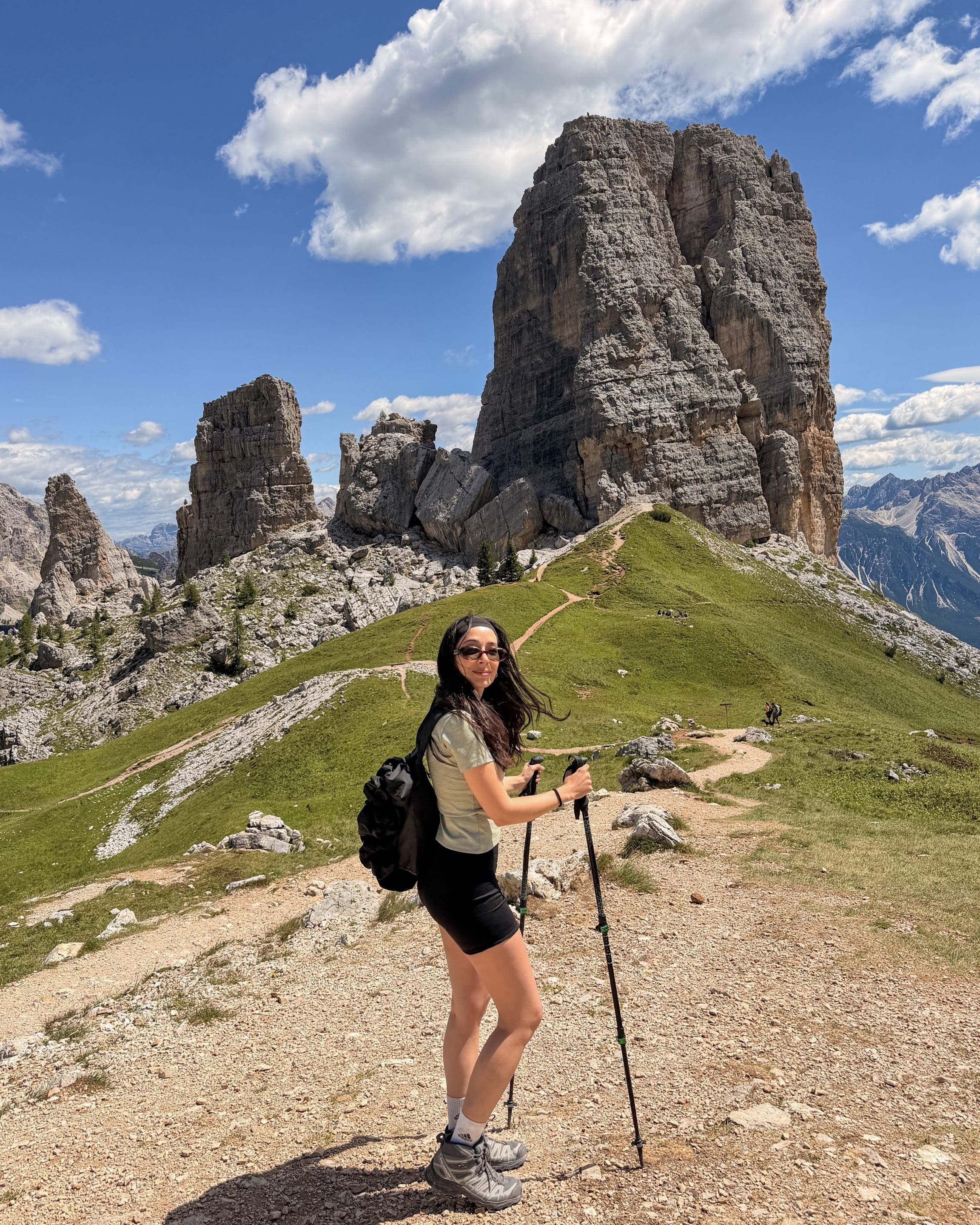
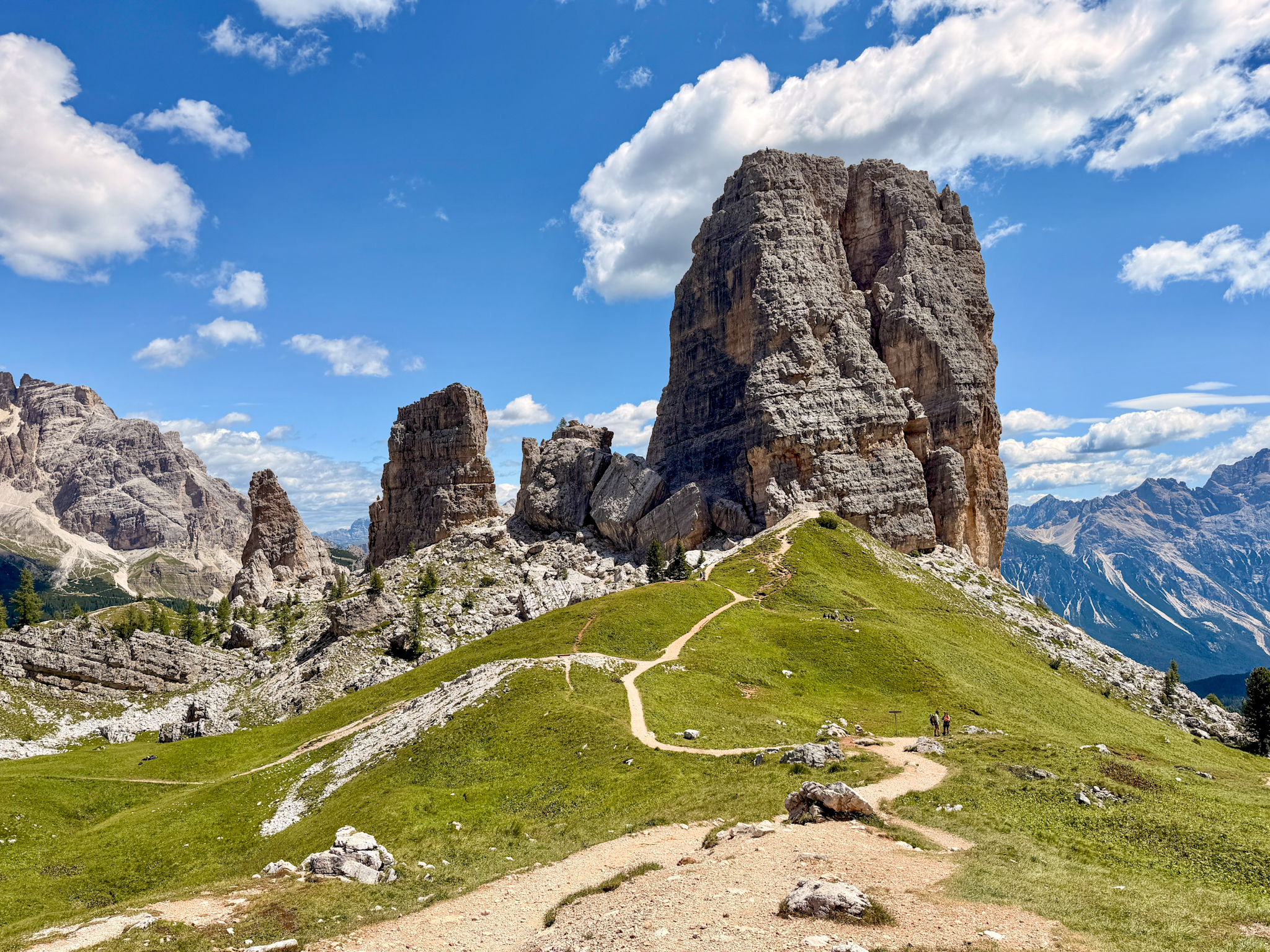
After Rifugio Scoiattoli, the towers are right in front of you. This is the most characteristic part of the hike, as you'll pass through sections of a WWI open-air museum and see the old military positions built into the rocks.
I then continued down to Rifugio Cinque Torri, where I stopped for lunch, before taking the return trail back to Passo Giau.
The final route back to Passo Giau to complete the loop is what surprised me most. It is quieter than the first half and a little rougher underfoot, with rocky sections, some exposure, short steep climbs and descents, and a few points where the trail is less obvious.
So the loop has 2 very different halves. The first half gives you the bigger views and the classic Cinque Torri stops. The second half feels more like a real trail back across rocky Dolomites terrain.
Quick Statistics
Here are the main hiking details for the Cinque Torri loop hike from Giau Pass loop.
Distance: 10,3 km / 6.4 miles
Elevation gain: around 592 m / 1,942 ft
Route type: loop, clockwise
Starting & Finish point: Passo Giau
Highest point: Rifugio Nuvolau, 2,575 m / 8,448 ft
Alltrails route link: here
Main stops: Rifugio Averau, Rifugio Nuvolau, Rifugio Scoiattoli, Cinque Torri, WWI open-air museum, Rifugio Cinque Torri
My walking time: around 5 hours
Total time with lunch: around 6 hours
Difficulty: moderate, with a rougher return section after Rifugio Cinque Torri
Best season: June to September
Cable car needed: no
I did the loop at a moderate pace, partly because I kept stopping for photos and partly because this is not the kind of hike I’d rush.
As I already mentioned, the only slightly tricky section I’d flag properly is the return from Rifugio Cinque Torri to Passo Giau. It is not dangerous in good weather, but it is rougher, rockier, and quieter than the earlier part of the loop.
How to Get to Passo Giau & Where to Park
The easiest way to start this loop is by car. Passo Giau sits between Cortina d’Ampezzo and the Val Fiorentina side of the Dolomites, and the trail starts directly from the pass, so there is no cable car or shuttle involved.
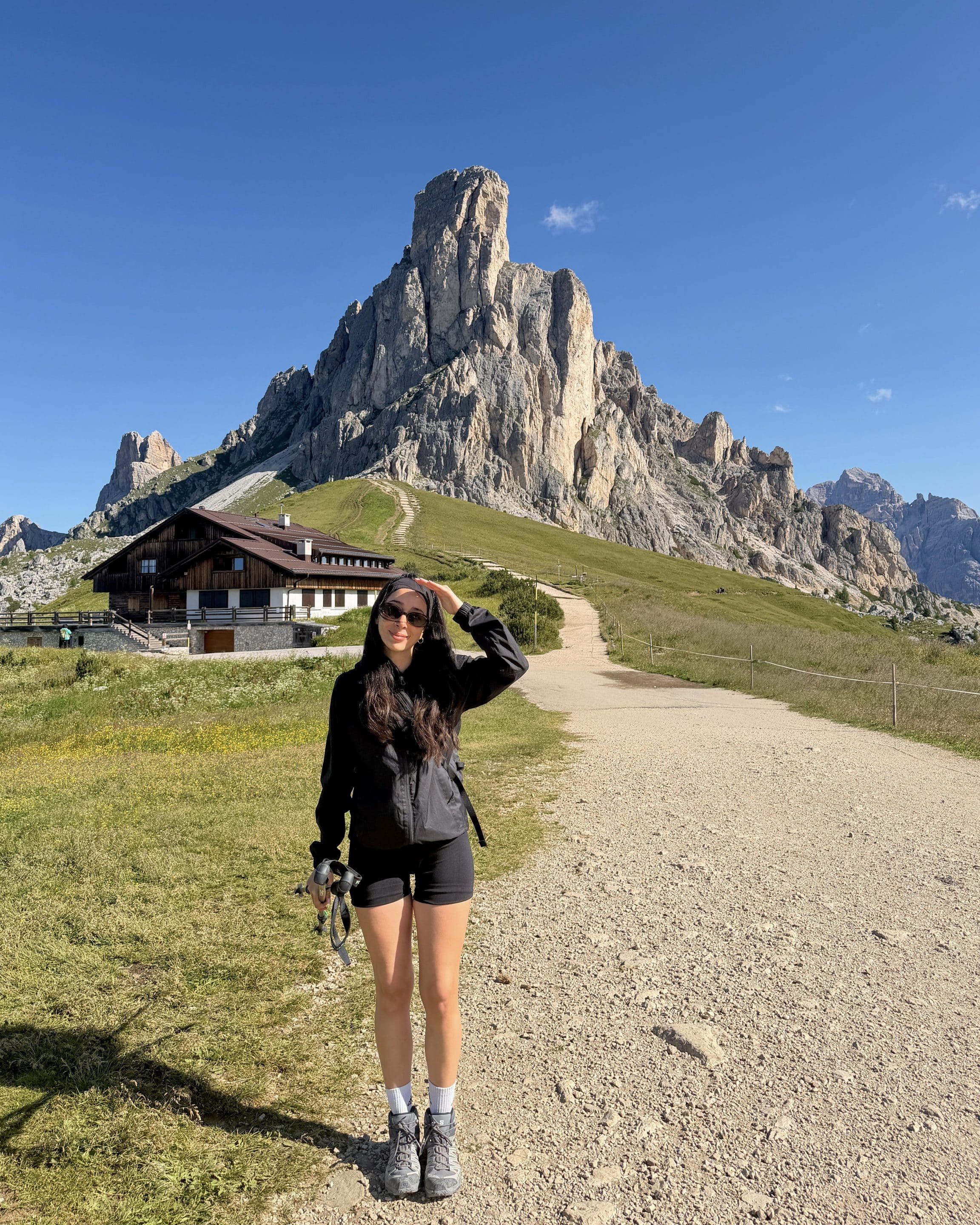
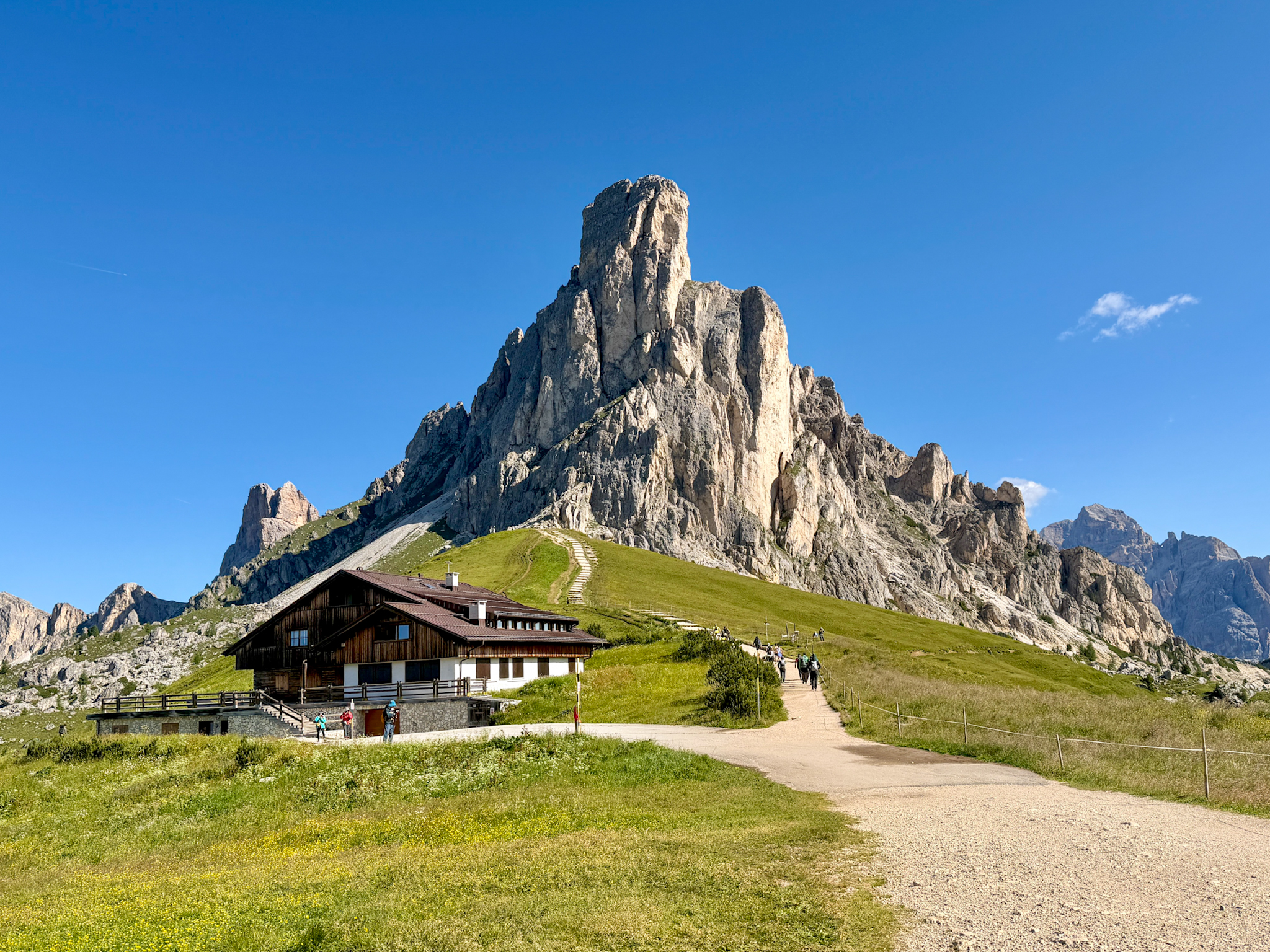
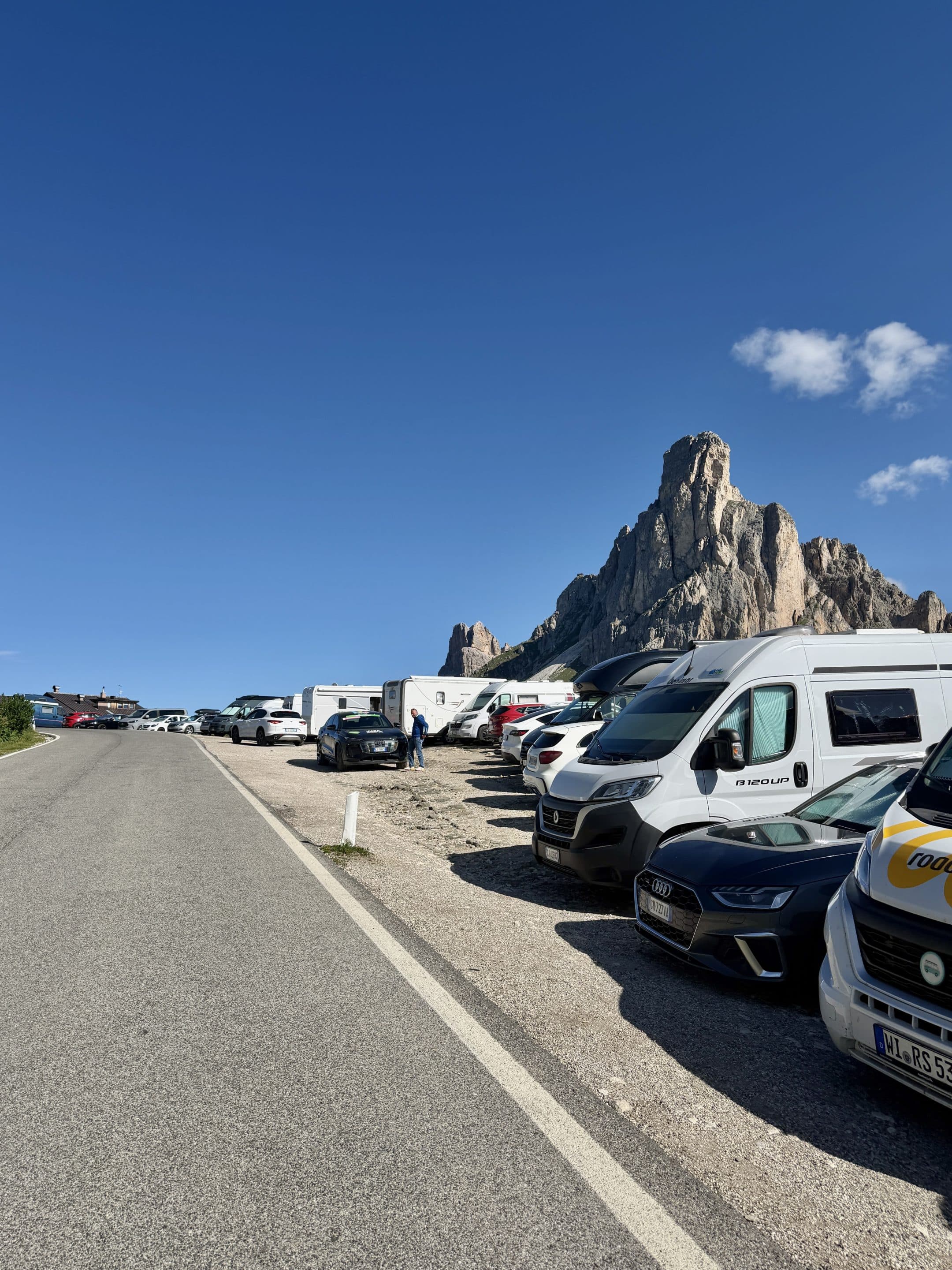
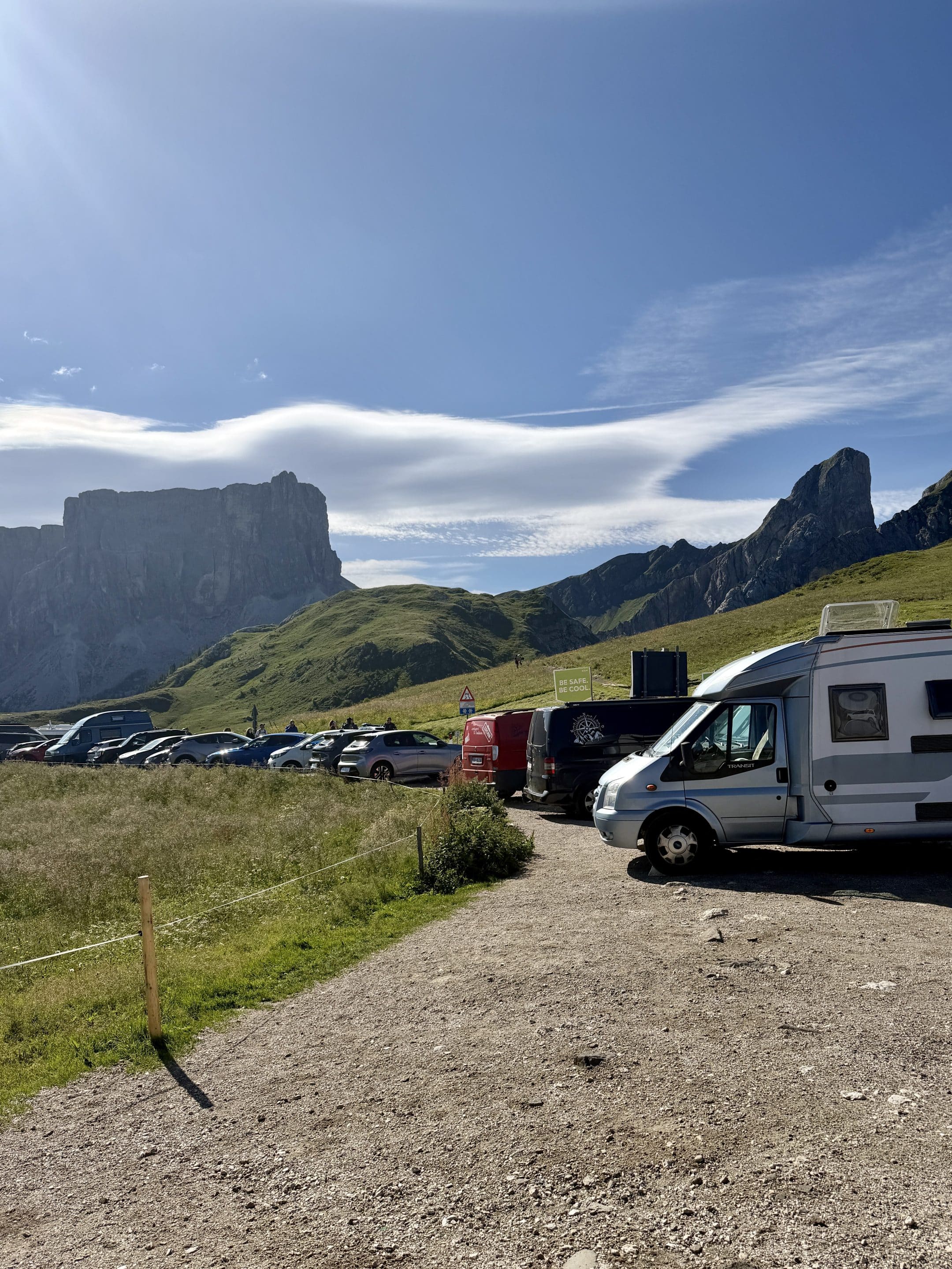
Parking at Passo Giau was much easier than I expected. There is a free parking area near the pass, close to where the hike starts. The most convenient section is not huge, I’d say around 30 spaces, but there is also plenty of roadside parking before and after the main area, so it didn’t feel like a stressful trailhead. I arrived around 09:15 on a Sunday in early July and still found the situation manageable. That said, park only where it is clearly allowed.
Public transport is possible in summer from Cortina d’Ampezzo. Line 53 will take you to Passo Giau in roughly 1 hour, although there are not many departures throughout the day.
For most people, though, driving is the simpler option for this specific hike. You can start early, finish when you finish, and avoid planning your lunch and rocky return section around a mountain bus timetable.
Where to Stay Near the Cinque Torri Hike
For this hike, I’d stay somewhere that makes Passo Giau easy to reach by car in the morning. You don’t need to sleep right on the pass, and honestly I wouldn’t overcomplicate it.
I stayed at Pineta Pastry Hotel, about 25 minutes from Passo Giau, and it worked really well as a base. It’s a historic, family-run hotel, quiet, with lovely original rooms, plenty of parking, and a breakfast that made me understand why they put “Pastry” in the name. Dinner was also excellent.
If you want the most practical base, look around Cortina d’Ampezzo, Selva di Cadore, San Vito di Cadore, or the smaller villages within easy driving distance of Passo Giau. Cortina gives you the most restaurants and services, but it’s also busier and much more expensive. A quieter family-run hotel nearby can be a better choice if your main plan is just hiking and eating well.
A Detailed Breakdown of My Cinque Torri Loop
This is the exact route I followed, step by step.
Passo Giau to Rifugio Averau
I started hiking from Passo Giau on path 452 around 09:15. This is already a very good place to begin, as you’re already high, already surrounded by striking views, and the route gets going straight away. Looking at Passo Giau, you only need to keep your left to do the loop clockwise.
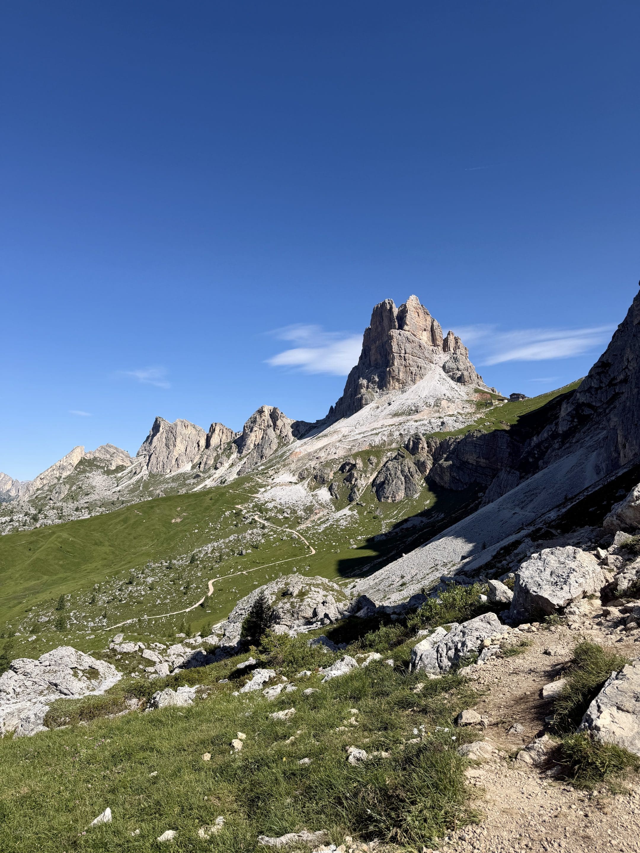
The first target is Rifugio Averau, near Forcella Nuvolau. The trail has a mix of easy walking and rockier sections where you need to pay a little attention, then a steeper final gravel-road climb before the hut.
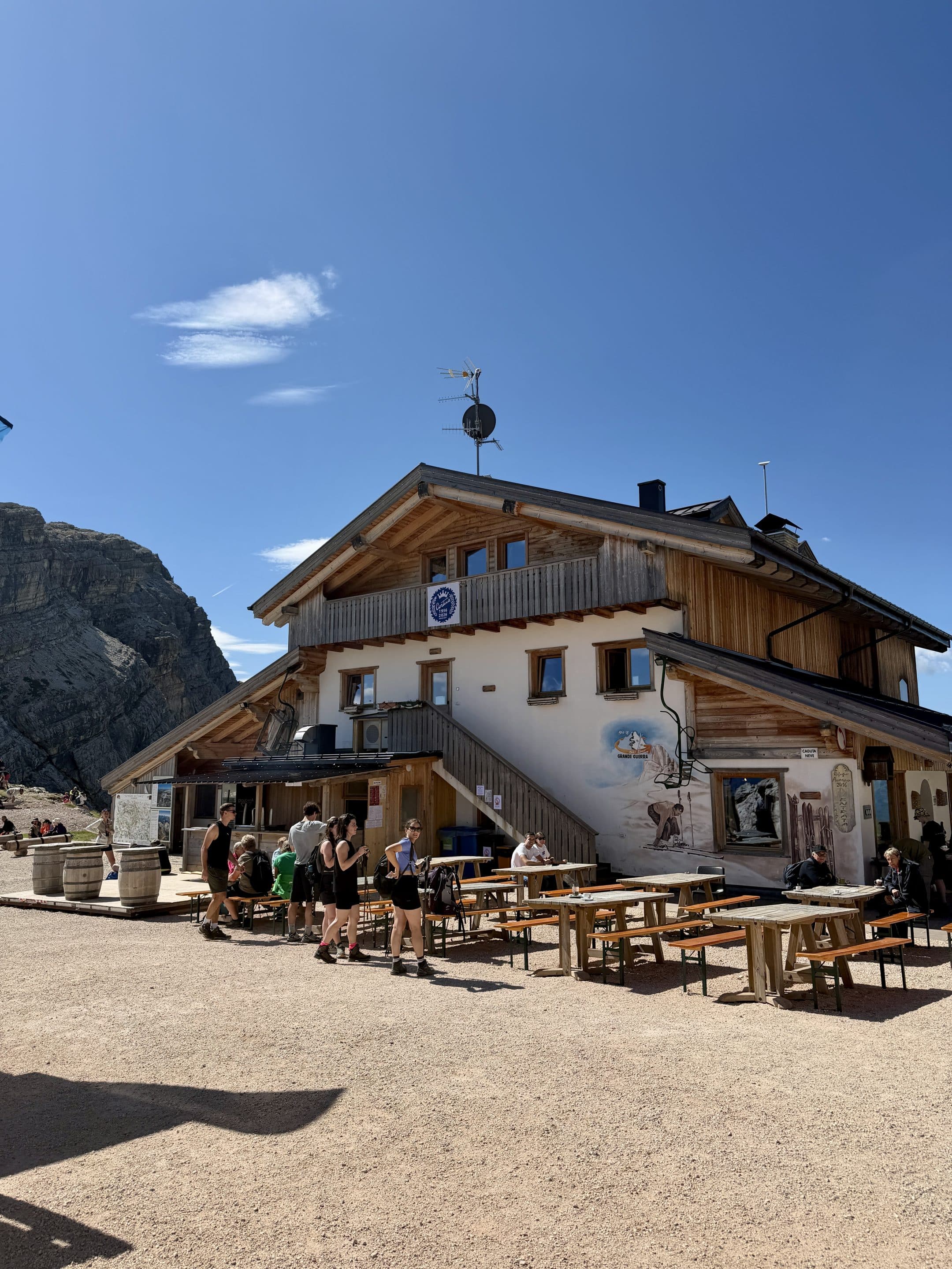
I reached Rifugio Averau at 10:20 and only stopped for a few photos. It’s a well-known hut in the Lagazuoi–5 Torri–Giau Pass area, and it can also be reached from different sides, including Passo Falzarego, and Rifugio Fedare. So if it feels busy, that’s why, this is not some forgotten shepherd’s balcony.

Rifugio Averau to Rifugio Nuvolau
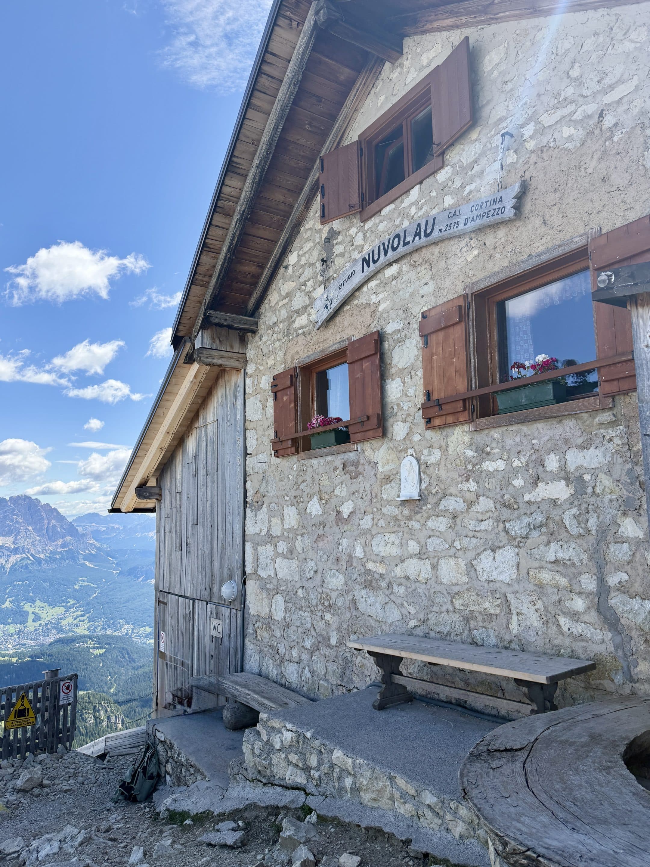
From Averau, I continued up to Rifugio Nuvolau, which sits on Monte Nuvolau at 2,575 m / 8,448 ft. This is the highest point of the loop and probably the best place on the route for the big, wide Dolomites view.
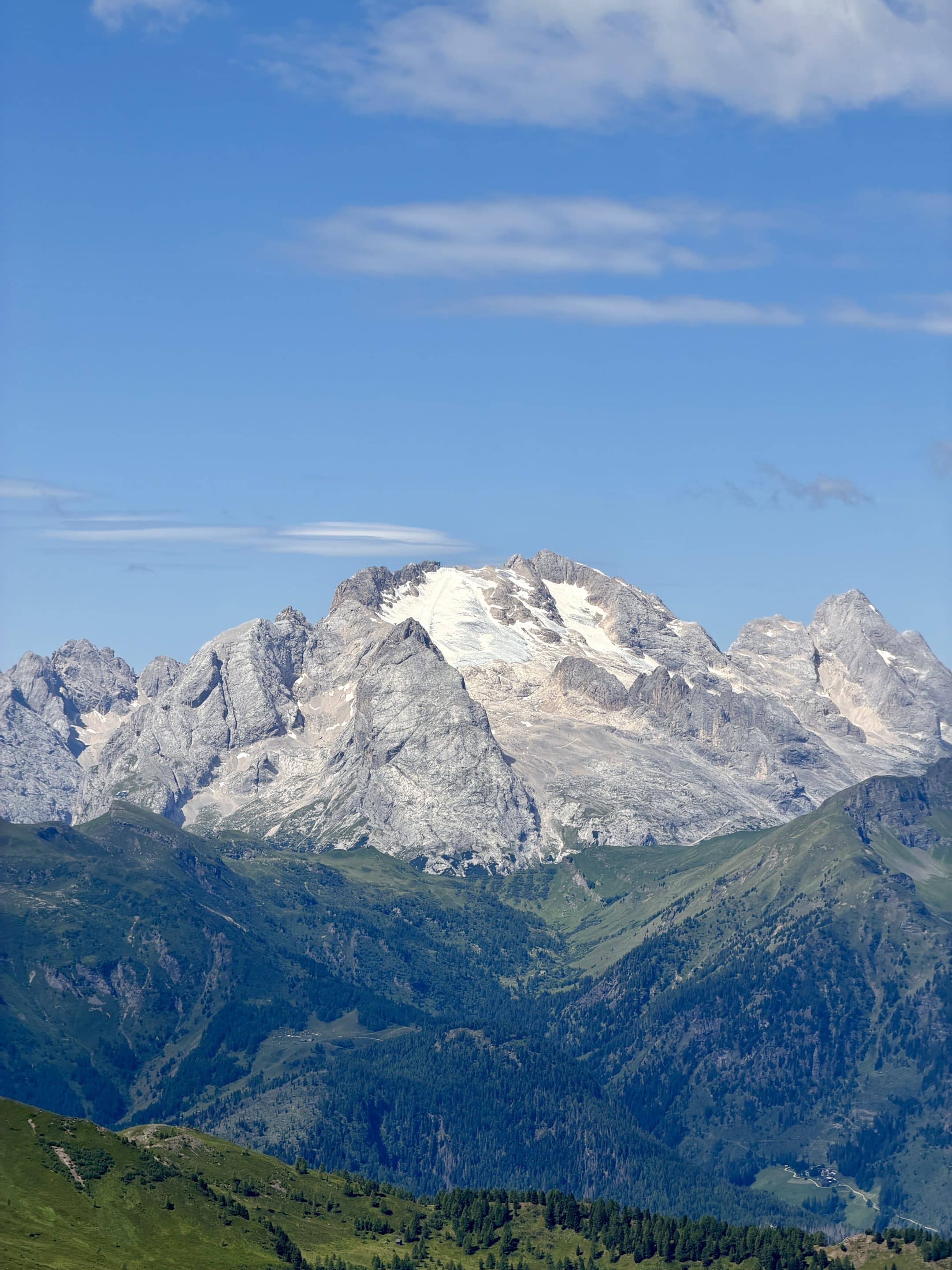
Nuvolau is one of the oldest mountain huts in the Dolomites, dating back to 1883. From up there, the view opens toward the major groups around Cortina and beyond. On a clear day, you can pick out mountain groups like Tofane, Pelmo, Civetta, and obviously the Cinque Torri area right below. I could clearly see the Marmolada glacier in the distance.
I didn’t stop long, just photos and a look around, but I wouldn’t skip Nuvolau on this loop. It gives the hike a proper high point before you drop down toward the towers.
Rifugio Nuvolau to Rifugio Scoiattoli
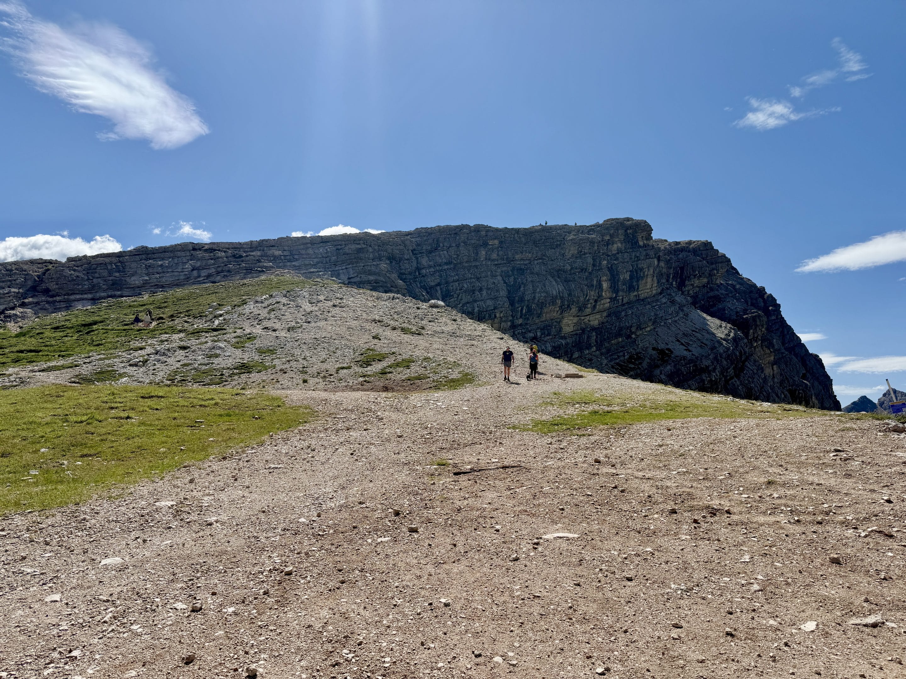
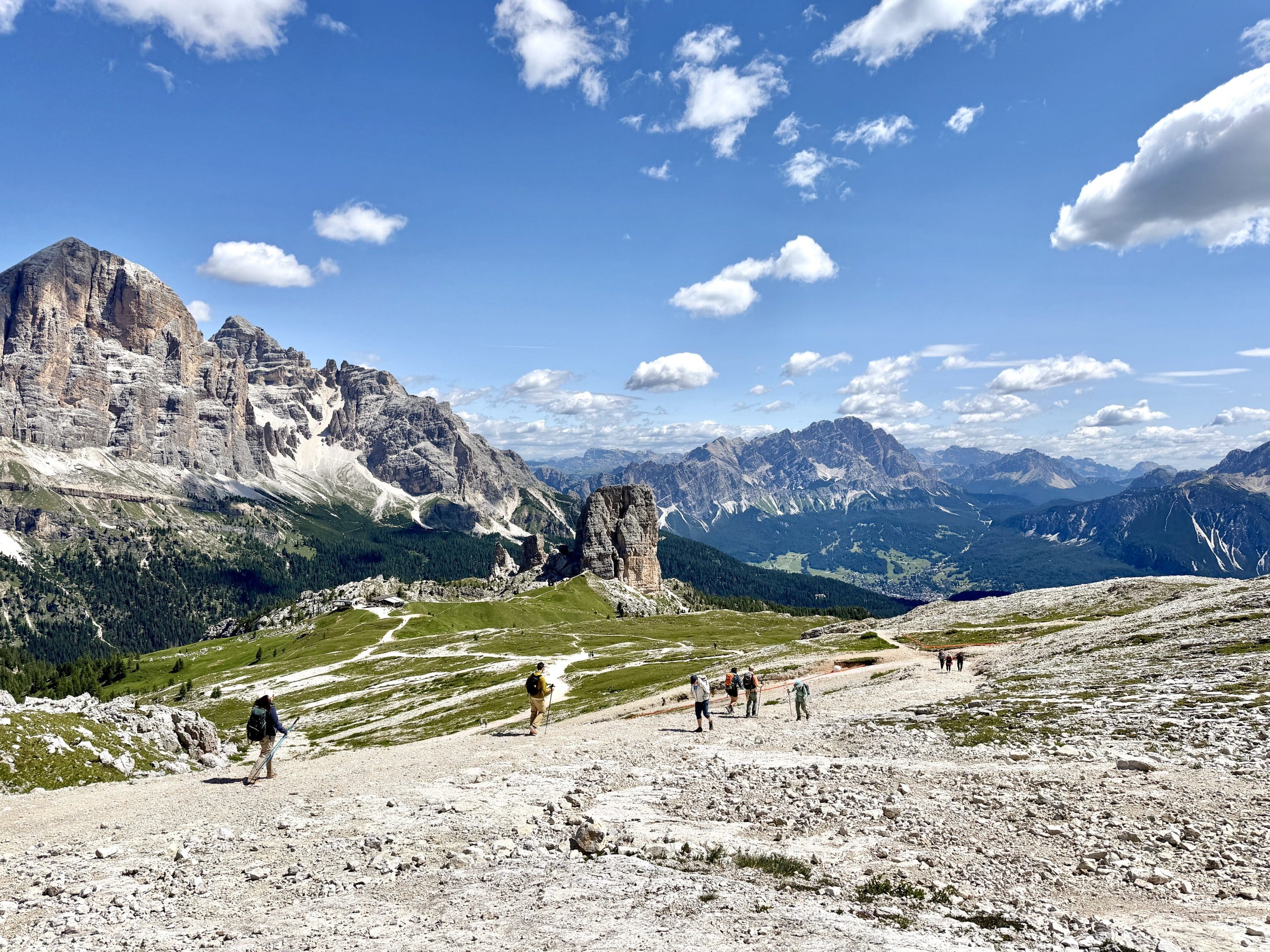
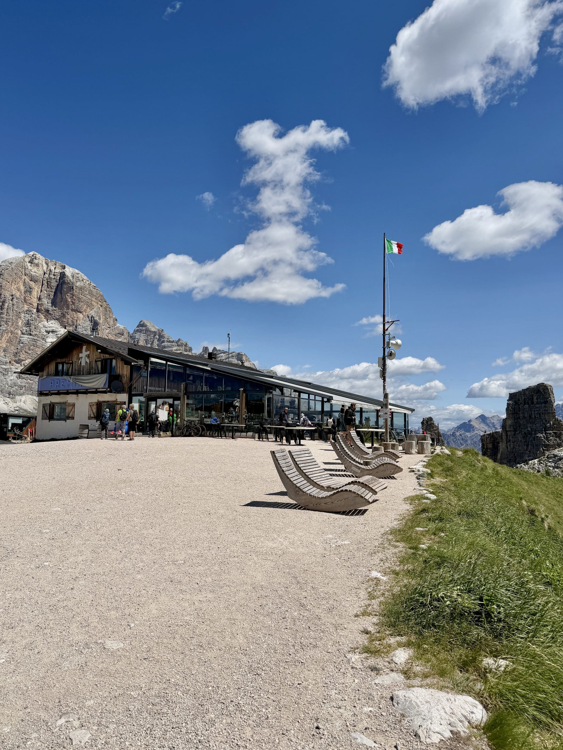
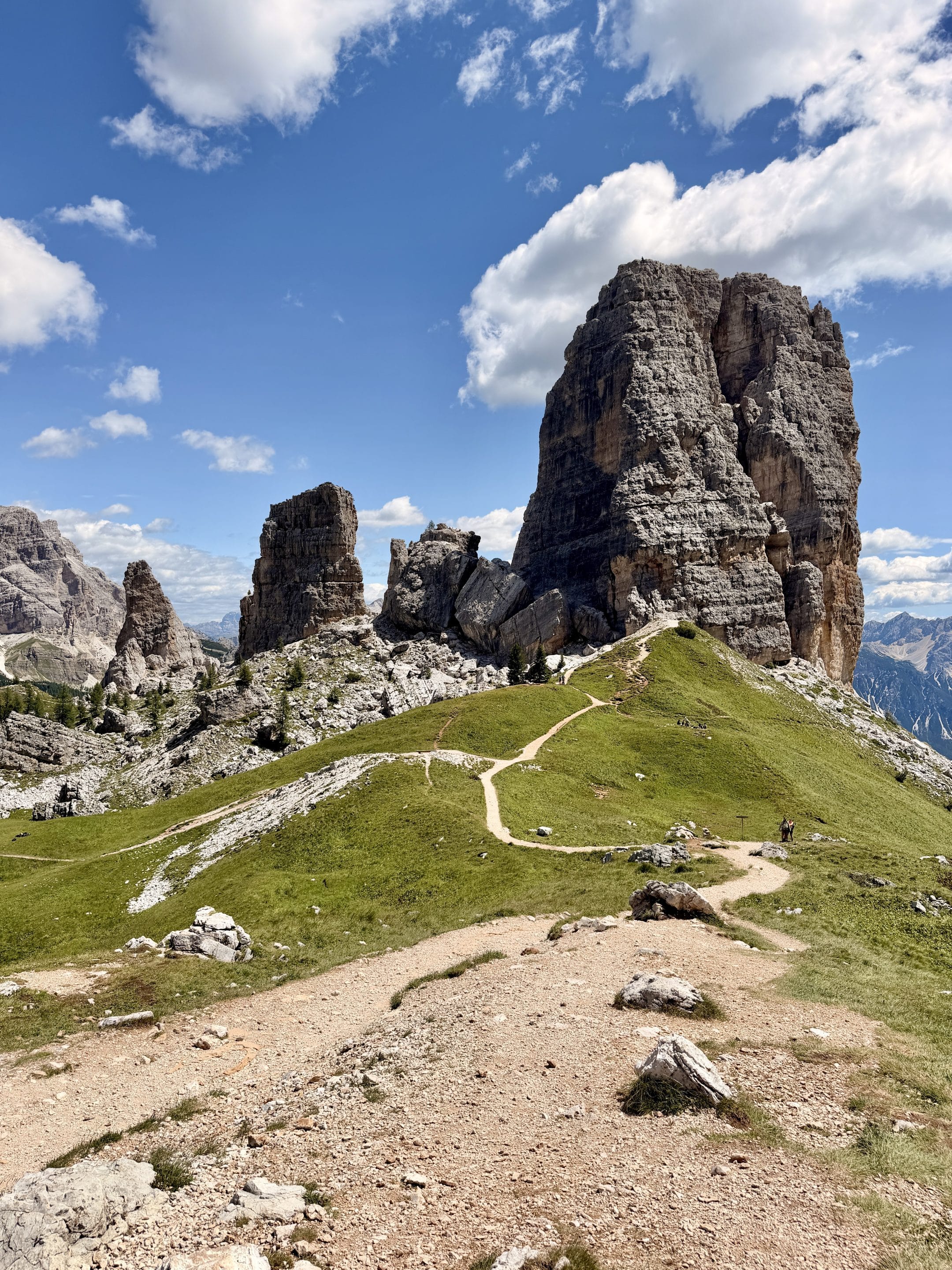
From Nuvolau, I descended toward Rifugio Scoiattoli. This part was not difficult. This is the classic staging point for Cinque Torri. If someone has taken a clean, postcard-style photo of the towers, there’s a decent chance it was from around here. I reached the hut at 11:45, then stopped for about 10 minutes just after it because the towers look especially good from this side.
This is also where you start to understand why the area is so popular with climbers. There are more than 200 equipped pitches of different lengths and difficulty, so if you see people hanging off the rock while you’re walking below eating snacks, that’s normal here.
Rifugio Scoiattoli to the WWI Open-Air Museum
After Scoiattoli, I entered the Cinque Torri area and reached the first section of the WWI open-air museum.
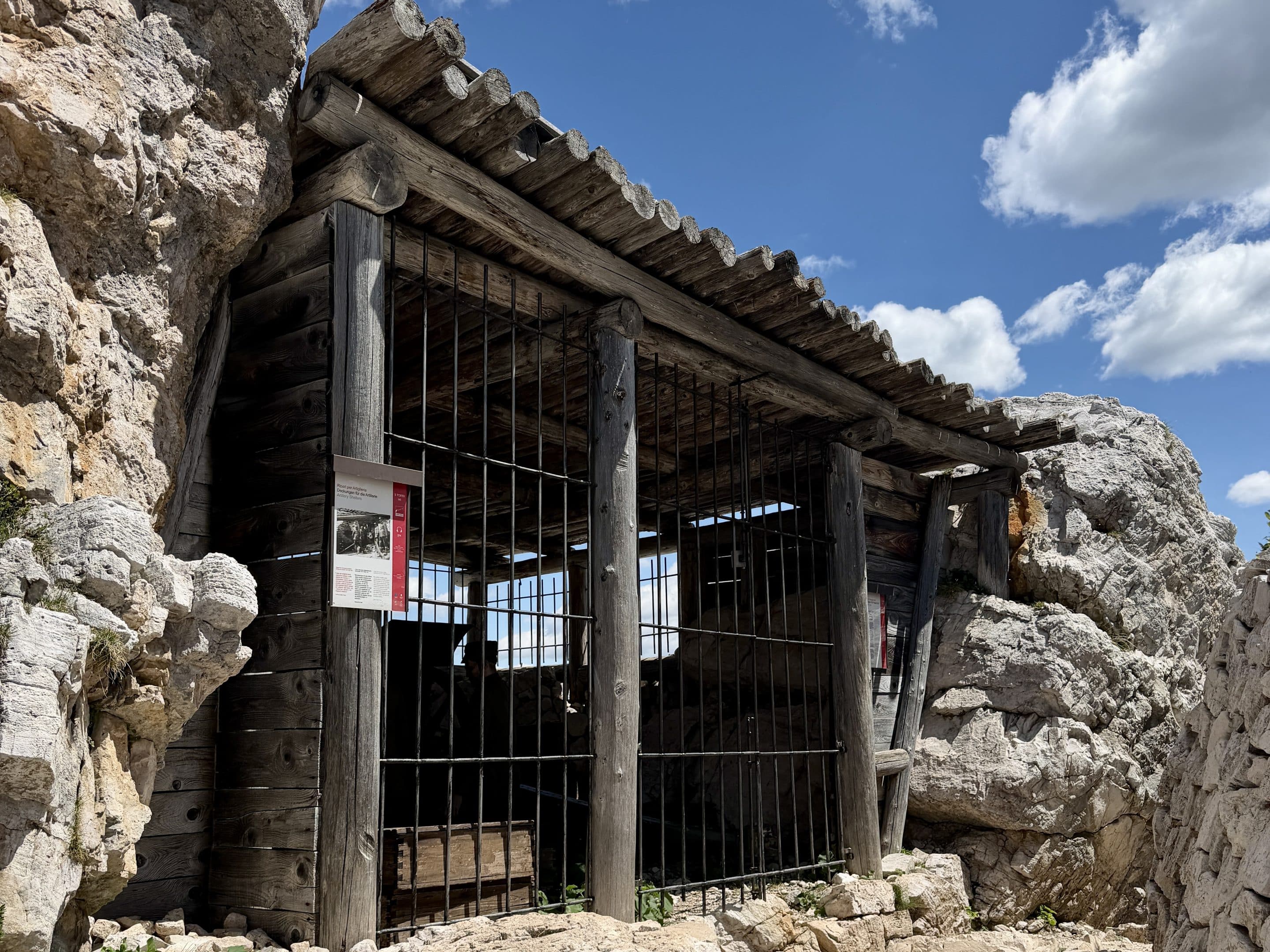
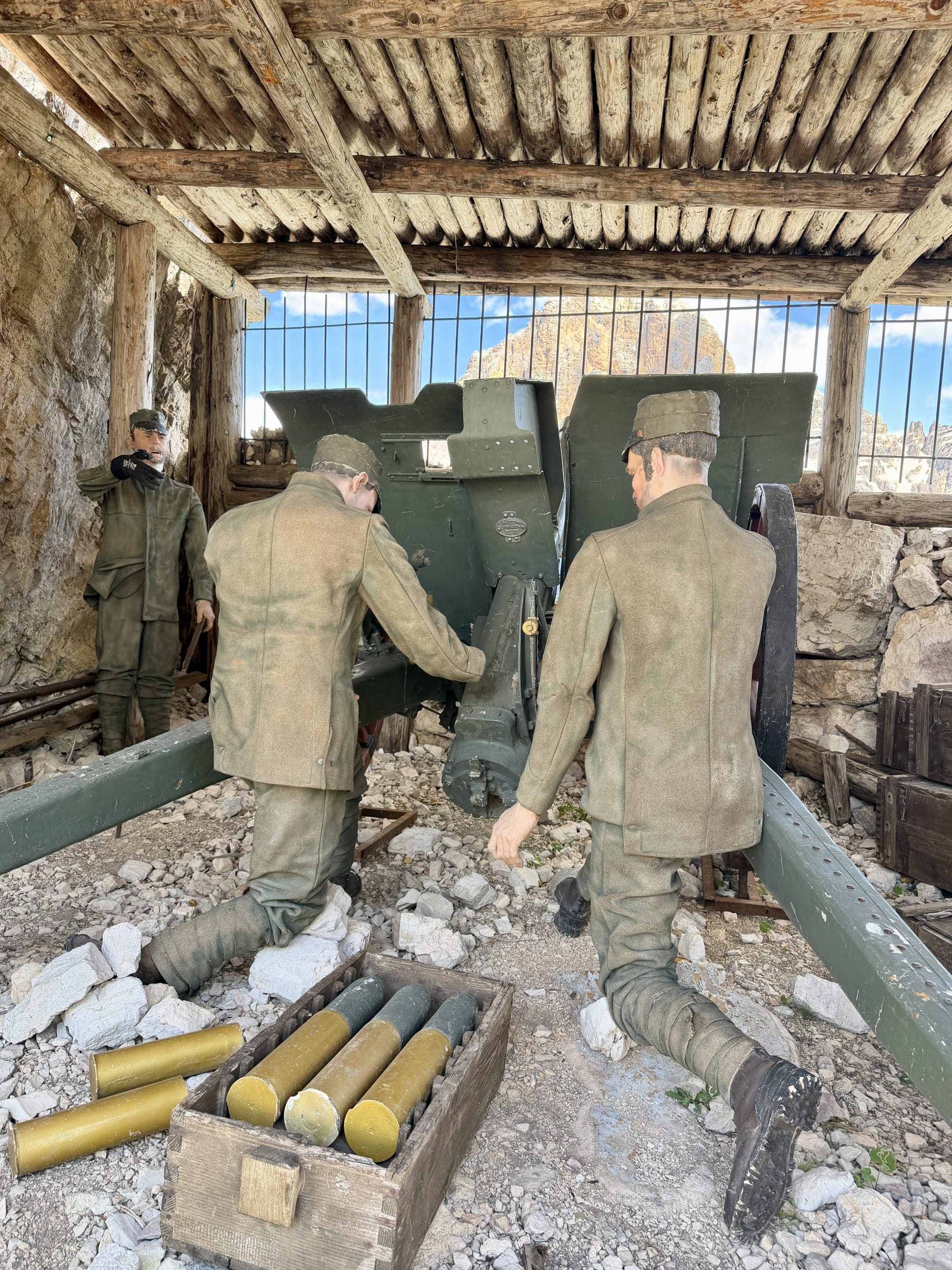
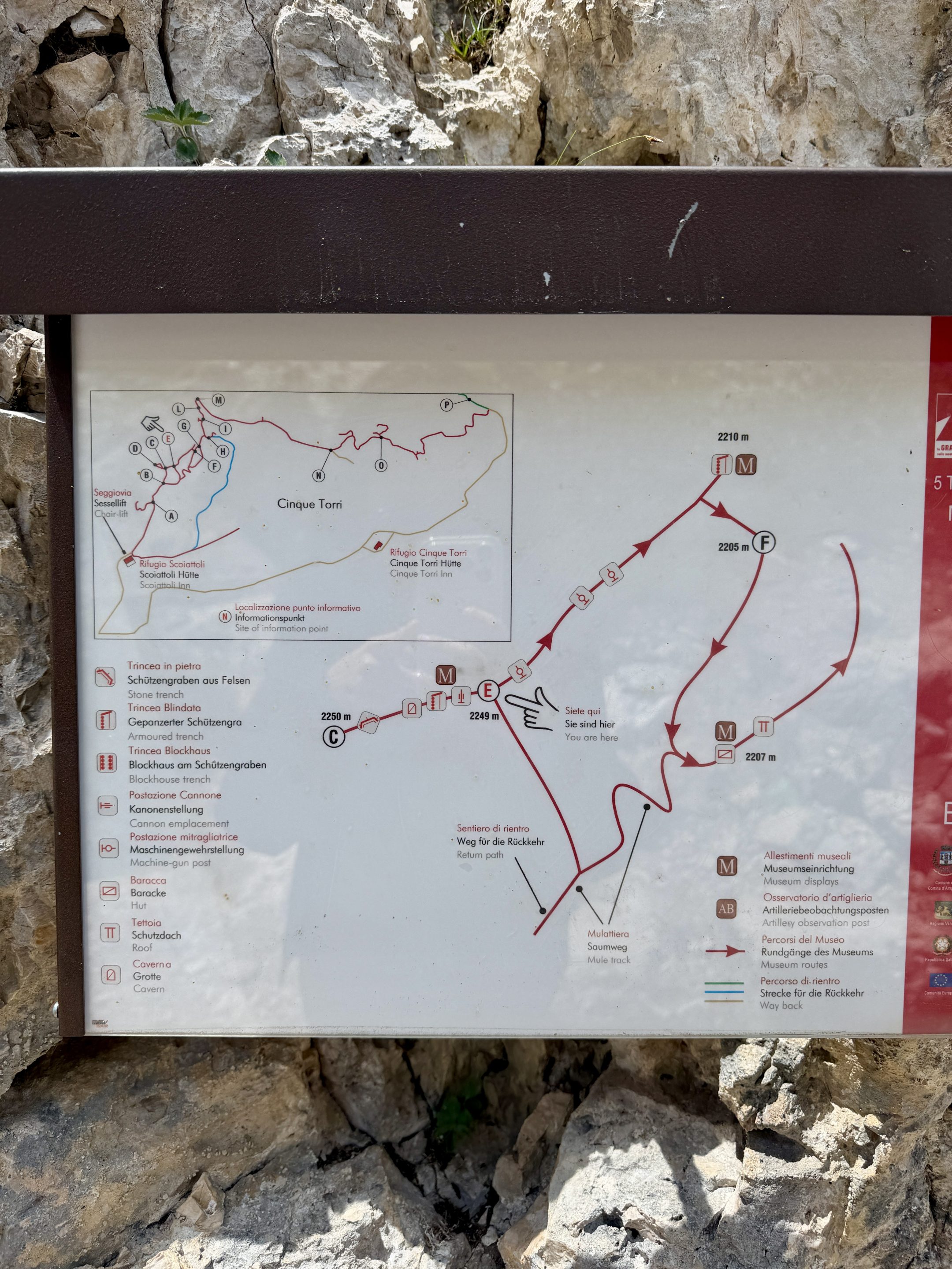
This part gives the hike a different kind of interest. During World War I, the Dolomites were part of the front between the Italian and Austro-Hungarian armies, and the Cinque Torri area still has restored trenches, shelters and military positions built into the rock. The museum preserves the remains of positions used by soldiers between 1915 and 1917.
It’s free to walk through, and there are information panels along the way. I wouldn’t treat it as a full museum visit if you’re doing the whole loop, but it’s absolutely worth slowing down here.
Walking Around the Cinque Torri and descent to Rifugio Cinque Torri
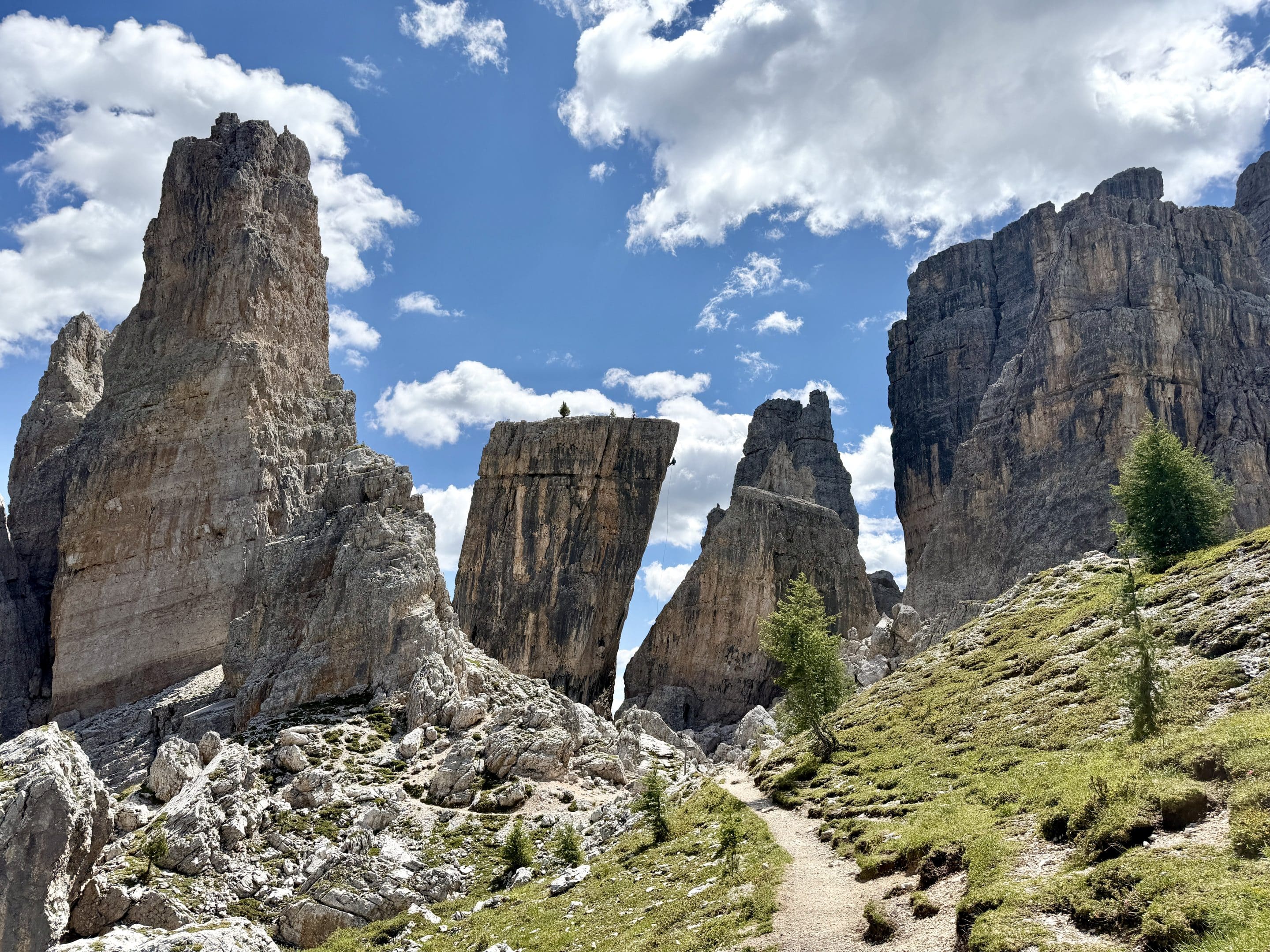
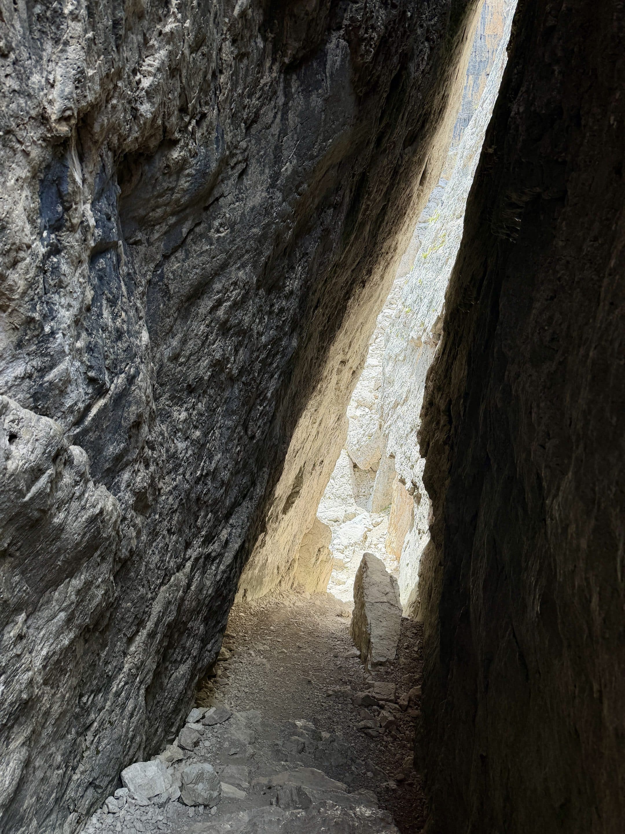
This is the best part if you want to feel the scale of Cinque Torri properly. Up close, the area is messier in a good way: big blocks, narrow passages, climbers on the walls, rocky ground. The trail around the towers has some unstable rocky parts, but I never found it truly exposed. You still need to watch your footing, especially because it’s easy to keep looking up at the climbers or the towers instead of where your shoes are going.
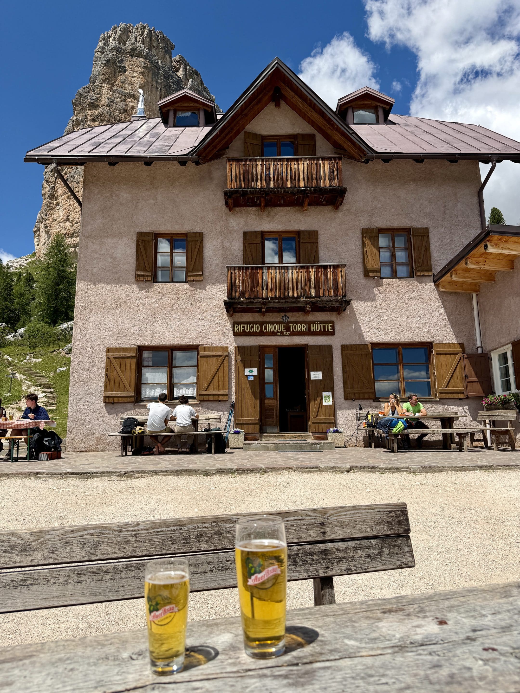
I reached Rifugio Cinque Torri at 12:40 and stopped for lunch.
This hut is older than it first looks from the trail: it dates back to the early 1900s and sits below the towers in a position that makes it a very logical lunch stop. I started walking again around 13:40.
Rifugio Cinque Torri to Passo Giau
This return section was the hardest part of the loop for me.
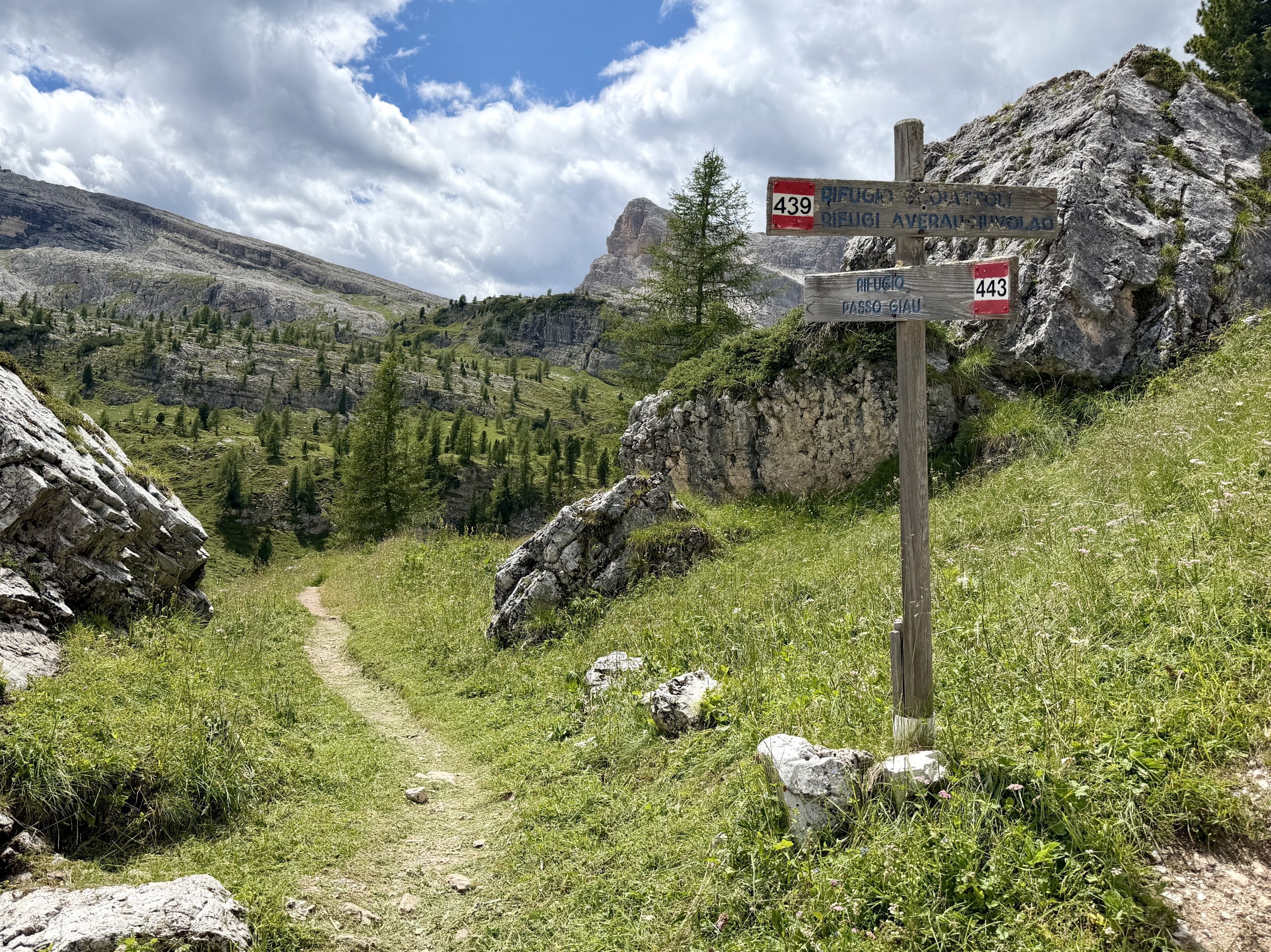
After Rifugio Cinque Torri, the trail back to Passo Giau gets much quieter. Most people seem to stay around Scoiattoli, the towers and the easier access routes.
The trail here is not technically too hard, but it becomes rougher: steep little ascents and descents, big rocks, some wooden panels placed for support, and a few slightly exposed points where you need to place your feet carefully. About halfway through, there was a rocky section where the route was not immediately obvious. This is where I was glad I had a downloaded map, because there weren’t many people around to casually follow.
I got back to Passo Giau at 15:00. Without the lunch break, the loop took me about 5 hours at a moderate pace; with lunch, about 6 hours.
Where to Eat on the Cinque Torri Hike
There are several huts on this loop, so food is not exactly the problem.
I passed Rifugio Averau and Rifugio Nuvolau quite early in the day, so I only stopped there briefly. Both are in great positions, especially Nuvolau, but they came too soon in the route for a proper stop.
The hut that made the most sense for me was Rifugio Cinque Torri. By the time I arrived there, I had already gone up to Nuvolau, descended toward Rifugio Scoiattoli, walked around the Cinque Torri area, and passed through parts of the WWI open-air museum. In other words, lunch felt well earned.
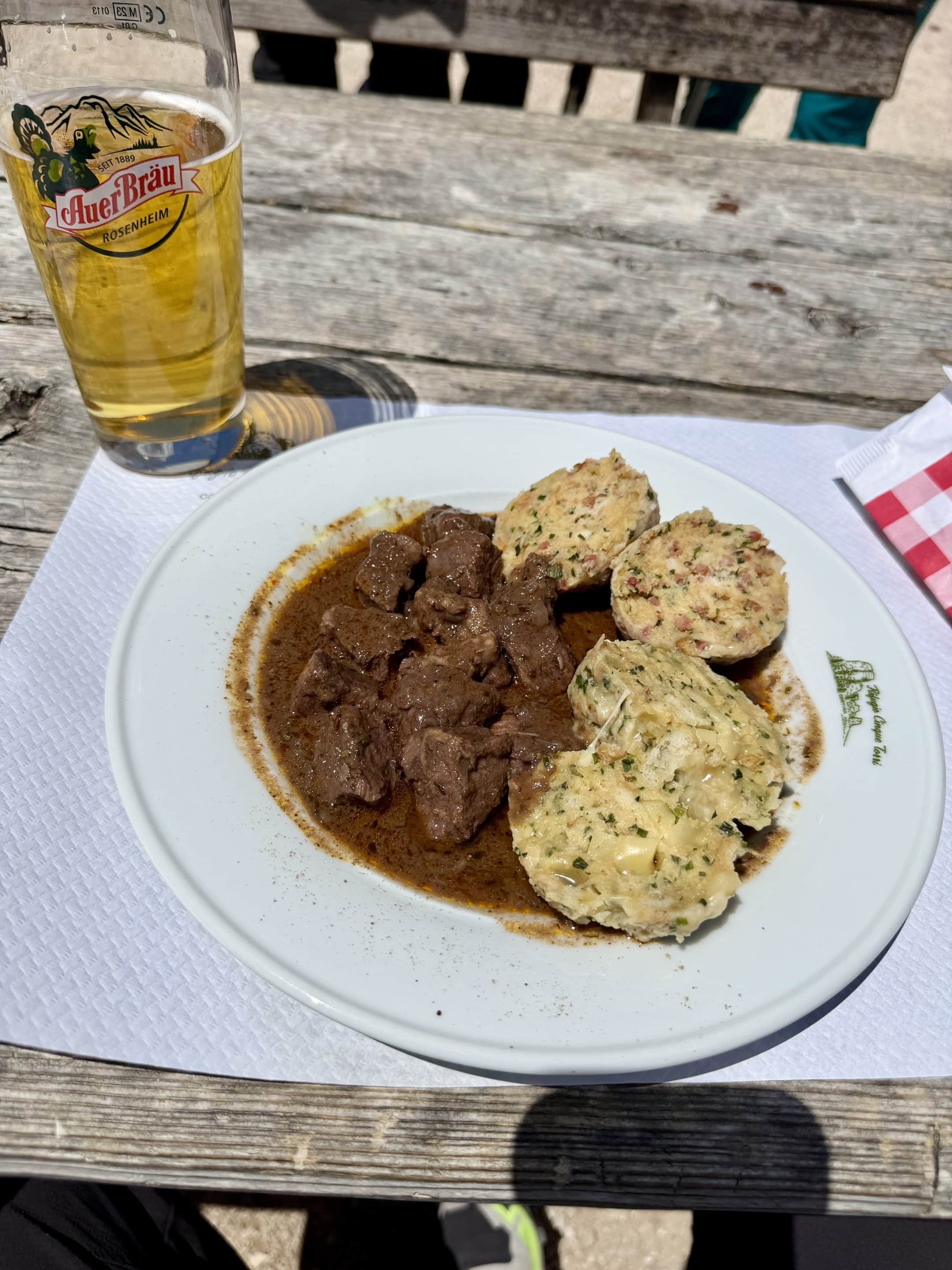
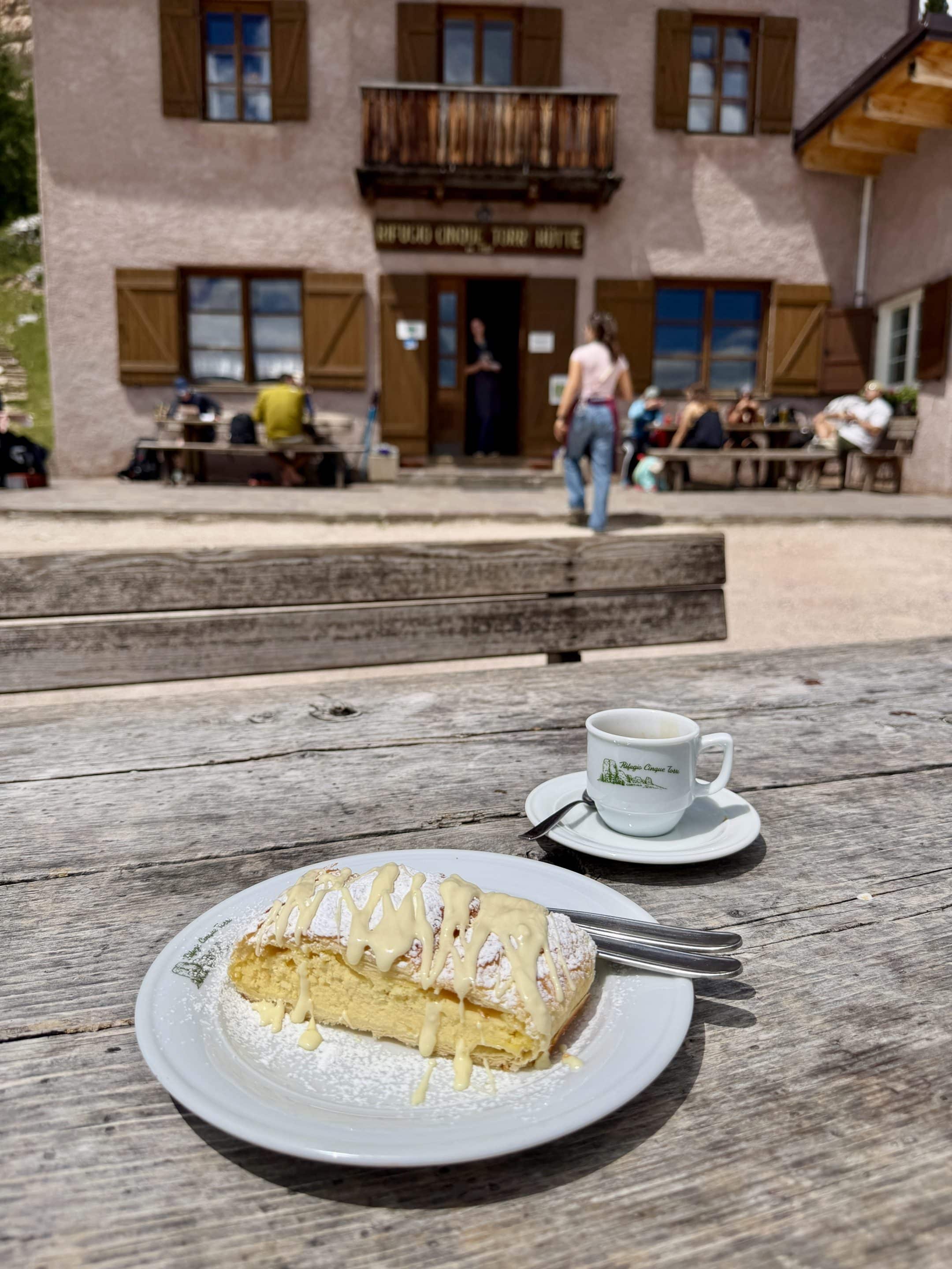
I had goulash with canederli and polenta, plus a beer and cake. Very correct mountain-hut food.
FAQ About Giau Pass & Five Towers Hike
Is the Cinque Torri hike from Giau Pass difficult?
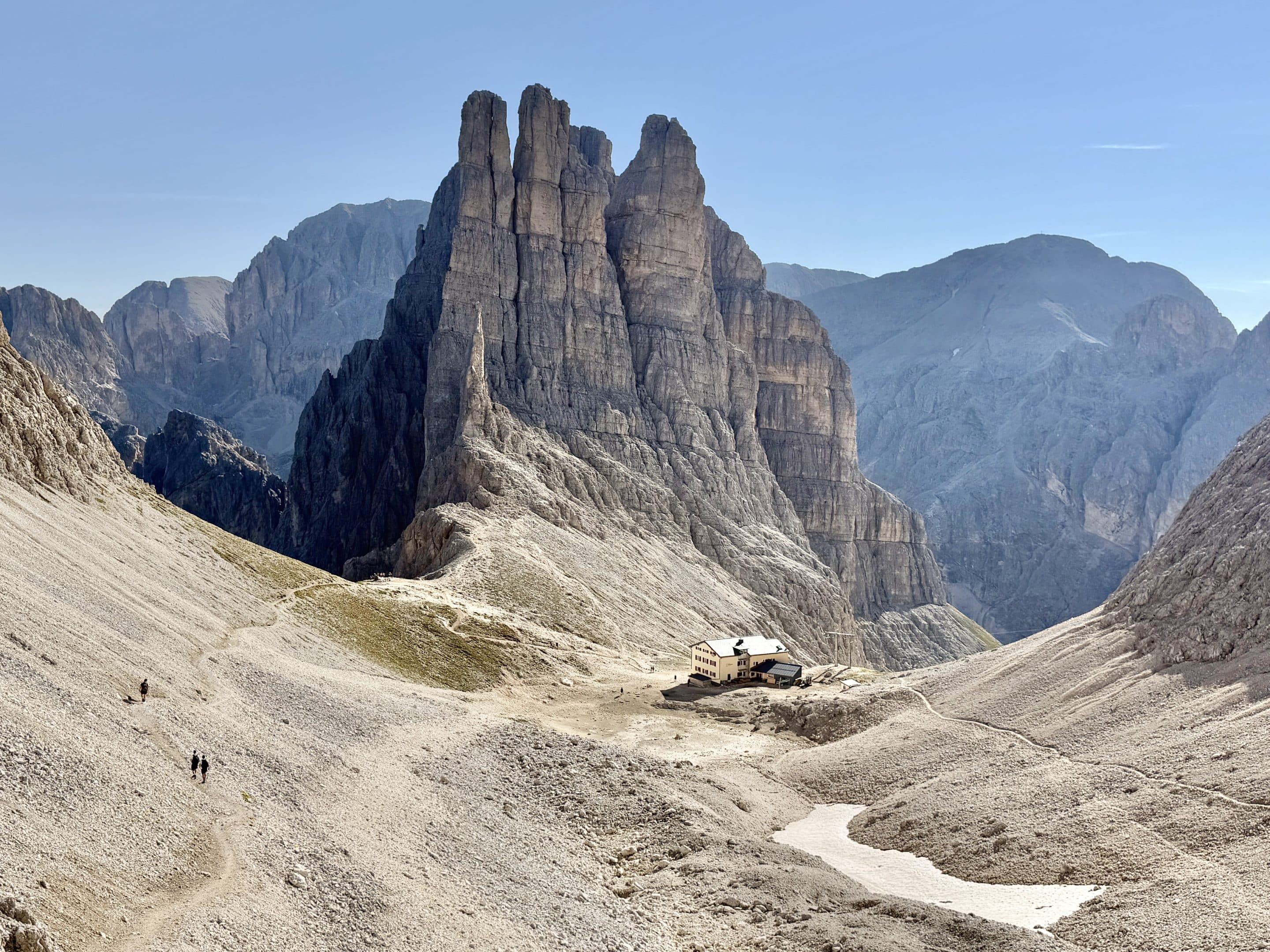
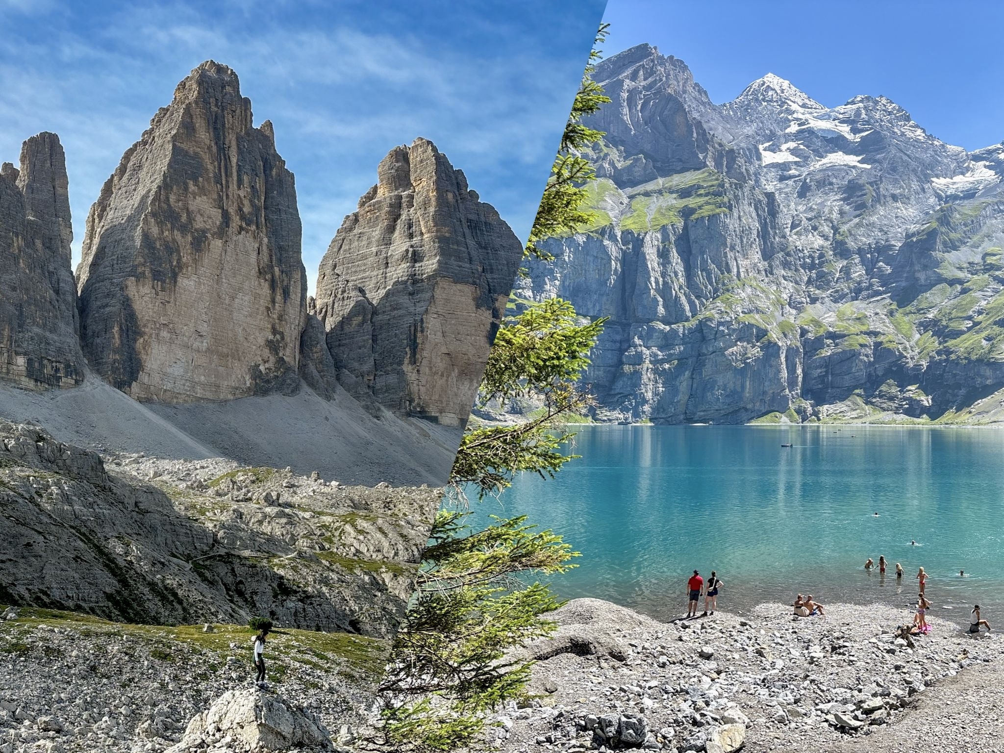
I’d call it moderate if you’re used to hiking in the Dolomites. It’s much easier than the Vajolet Towers hike, where the exposed climb to Rifugio Re Alberto is a completely different level. But I’d say this loop is slightly more involved than the Tre Cime di Lavaredo loop, mostly because of the return section after Rifugio Cinque Torri. That part has more rocks, short steep ascents and descents, and a few places where you need to pay attention to the trail.
Do you need a cable car for this hike?
No. That’s one of the nice things about starting from Passo Giau. You can do the full loop directly from the pass without using any cable car or shuttle. You just need to drive there, park, and start walking.
Is parking at Passo Giau difficult or limited?
In my experience, no. I arrived at Passo Giau around 09:15 on a Sunday in early July and parking was still manageable. The closest parking area near the pass is not huge, but there was plenty of free roadside parking before and after it.
I still wouldn’t arrive very late on a perfect summer day, but I also wouldn’t stress about parking the way I would at some other Dolomites trailheads.
Can you do this hike with kids?
The easier sections around Rifugio Scoiattoli, Cinque Torri, and the WWI open-air museum are suitable for many families, and I saw plenty of people around that area. The full loop from Passo Giau is different. It’s longer, includes the climb to Nuvolau, and the return after Rifugio Cinque Torri is rougher and quieter. I’d only do the full loop with grown kids who are used to hiking and don’t mind rocky trails.
Is the WWI open-air museum free?
Yes, the Cinque Torri WWI open-air museum is free to walk through.
You’ll find restored trenches, shelters, and military positions spread around the towers. You don’t need to treat it like a formal museum visit, but I’d definitely allow time for it. It gives the Cinque Torri area more meaning than just “nice rocks, many photos.”
Is Rifugio Nuvolau worth the climb?
Yes, absolutely. Rifugio Nuvolau was one of my favourite viewpoints of the hike. From up there, you can see a huge part of the surrounding Dolomites, including the Marmolada glacier on a clear day. If you are doing the loop from Passo Giau, I wouldn’t skip it unless the weather is bad or visibility is limited.
Where is the best photo spot for Cinque Torri?
For me, the best classic view of Cinque Torri was just after Rifugio Scoiattoli. The towers are close, nicely framed, and very photogenic from there. Walking around and between the towers is still worth doing, but the cleaner “there they are” view came from the Scoiattoli side.
Do you need hiking poles?
You don’t strictly need them, but I was glad I had them. They’re useful on the return section from Rifugio Cinque Torri to Passo Giau, where the trail gets rockier and has some short steep ups and downs. They also help if you’re taking the loop slowly and want to save your knees a little.
Do you need a downloaded map?
Yes, I’d recommend it. Most of the loop is easy enough to follow, especially around the huts and Cinque Torri. But the return section toward Passo Giau is quieter, and about halfway through I found one rocky part where the route was not immediately obvious.
Is the Cinque Torri hike worth it?
Yes. It’s clearly famous, but I think it deserves all the attention. The loop has a good mix of panoramic views, traditional alpine huts, history, peculiar (and photogenic) rock formations, and varied trail. It’s not the wildest or hardest hike in the Dolomites, but it makes for a very satisfying day without needing complicated logistics.