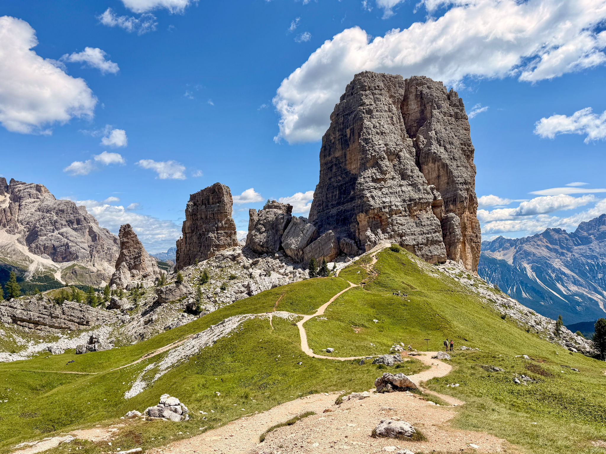
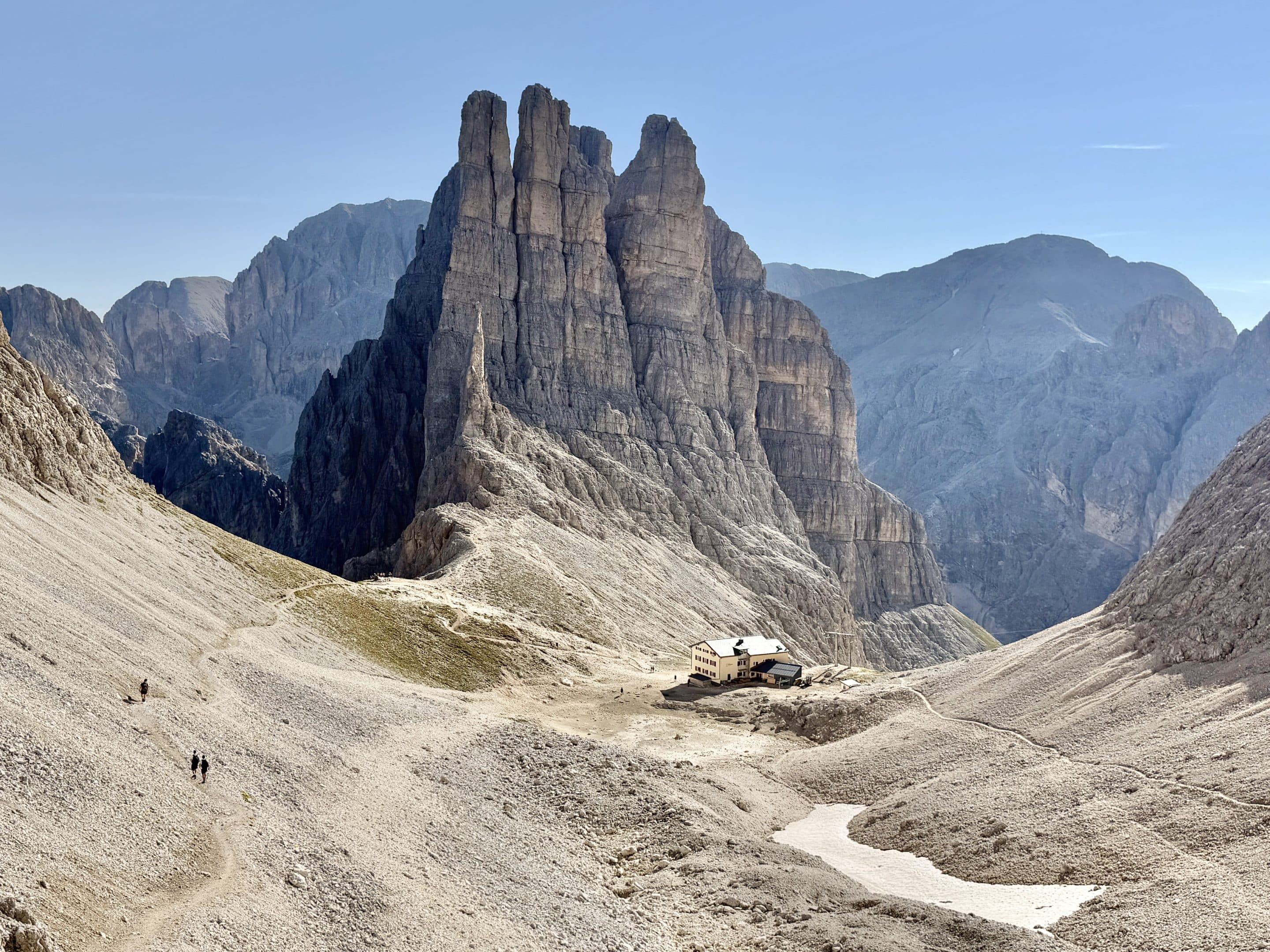
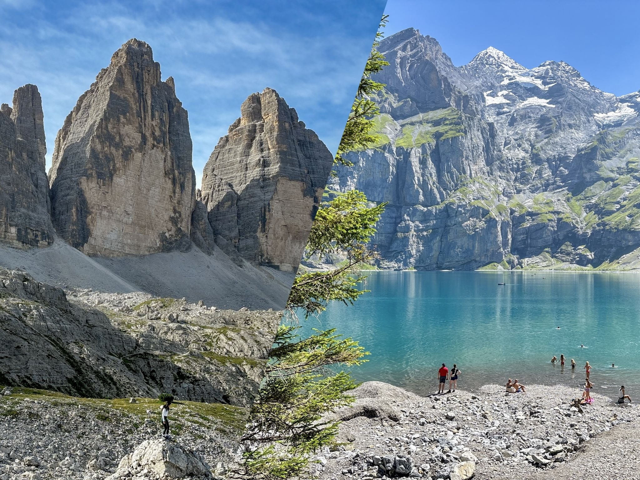
A complete guide to hiking the Tre Cime di Lavaredo in Italy’s Dolomites. From updated access rules and 2026 logistics to trail details, viewpoints, timing, and practical tips, this article covers everything you need to know for an unforgettable day on one of Europe’s most iconic mountain routes.

Imagine standing before three monumental peaks, sharp and towering, rising from the Dolomites as if designed by an artist. Tre Cime di Lavaredo (The Three Peaks of Lavaredo) is one of Italy's most famous hiking spots, drawing adventurers from around the world. Having hiked the loop myself more times than I can count, I can confirm that the landscape feels even more striking in person than any photo suggests.
If you too are looking to conquer the Tre Cime di Lavaredo hike in 2026, you've found the perfect guide. This article covers everything you need to plan your adventure—from how to get there, where to stay, the best times to hit the trail, and a full breakdown of the famous loop hike. Get ready for breathtaking views, insider tips on the best photo spots, and a complete trekking guide to ensure you’re well-prepared for every step of this iconic Dolomites experience.
-
- Read more: 10 Best Hikes in the Dolomites, Italy
Where is Tre Cime di Lavaredo Located?
Tre Cime di Lavaredo is located in the Dolomites, part of the southern limestone Alps in northeastern Italy. Specifically, they straddle the border between the regions of South Tyrol and Veneto, and are a key part of the Dolomiti National Park and a UNESCO World Heritage site.
The closest large towns are Cortina d'Ampezzo (about 45 km away) and Bolzano (120 km). Though nestled in the mountains, the peaks are surprisingly accessible, and the area around Tre Cime offers not only epic hiking but also a chance to soak up the cultural and natural history of the region.
How to Get to Tre Cime di Lavaredo in 2026
The hike begins at Rifugio Auronzo (Auronzo hut), the mountain hut that serves as the main trailhead for both the Tre Cime di Lavaredo loop and the Cadini di Misurina hike.
There are several ways to reach Rifugio Auronzo, although as of 2026, new access restrictions and updated rules have been introduced to reduce overtourism in the area.
By Car
The most popular way to get to Tre Cime is by driving to Rifugio Auronzo, which serves as the main parking and starting point for most hikes. As of 2026, the toll road to Rifugio Auronzo costs €40 for cars, €26 for motorcycles, and €60 for camper vans, and requires a mandatory online reservation with a selected entry time slot.
This pre‑booked parking permit is also valid for 12 hours from the selected entry time.
By Public Transport
The complexity of your journey will largely depend on your starting point and the route you take:
- From Dobbiaco (Toblach): The shuttle bus #444 runs directly from Dobbiaco to Rifugio Auronzo, which as mentioned is the main starting point for the Tre Cime hike. The journey takes around 50 minutes and operates during the high season (mid-June to mid-October). Tickets must be booked ahead online on the official website, you just need to select your preferred stop in Dobbiaco and an available timeslot.
- From Lake Misurina: you can take the DolomitiBus shuttle bus #50, active daily from May 30th, 2026. The shuttle departs from Misurina Genzianella, with an intermediate stop at Lago d’Antorno, and arrives directly at Rifugio Auronzo. You can buy tickets directly on board using contactless payment (EMV Tap&Go), or via the DolomitiBus App, or at the automatic ticket machine located at the departure point in Misurina.
- From Cortina d'Ampezzo: there's no direct connection to Rifugio Auronzo for 2026, you have to take two steps. First, you reach Lake Misurina by using DolomitiBus bus #51. From there, you can reach Rifugio Auronzo via shuttle bus #50 as described in the previous step. Don't forget to visit the DolomitiBus App for the most up-to-date timetables.
By Foot
For the purists, you can hike up to Rifugio Auronzo from Lago d'Antorno. This trek is about 7 km and can take 2–3 hours, depending on your pace. The reward? Gorgeous scenery from the get-go and the satisfaction of reaching the peaks under your own steam (and for free!).
Where to Stay Near Tre Cime di Lavaredo
Lake Misurina
Just a short drive from Tre Cime di Lavaredo, Lago di Misurina is an alpine lake that offers a charming and convenient base for your adventure. Surrounded by forests and towering peaks, it’s an ideal spot for those who prefer to sleep near nature. Some recommended accommodations here include Grand Hotel Misurina and Hotel Sorapiss.
Cortina d’Ampezzo
If you prefer a more luxurious experience, Cortina d’Ampezzo is a chic ski resort town just 40 minutes away by car. Here, you’ll find high-end hotels, excellent restaurants, and even spas to unwind in after a day of adventure. It’s the perfect blend of outdoor adventure and upscale Italian leisure.
Dobbiaco
Dobbiaco is a fantastic option if you're looking for a balance of charm and convenience. Located about 27 km from Tre Cime di Lavaredo, it's a great base for exploring the Dolomites. The best part? As mentioned before, the 444 bus runs frequently from Dobbiaco to Rifugio Auronzo, dropping you right at the foot of Tre Cime. It’s a hassle-free way to get to the trails if you don't want to worry about driving and parking. Remember that this bus needs to be booked ahead online.
Tre Cime di Lavaredo Hike Guide
The Classic Loop Trail: Step-by-Step Guide
- Route type: Loop
- Length: 10.1 km / 6.2 miles
- Difficulty: Easy to Moderate
- Elevation gain: 467 m / 1561 feet
- AllTrails Link
The Tre Cime di Lavaredo classic loop is the most popular trail, a moderately challenging trek that starts and ends at Auronzo Hut (Rifugio Auronzo) near the parking lot. It takes about 3 to 4 hours to complete and offers jaw-dropping views throughout. The trail is easy to follow, with well-marked signs and a clear path. Below is a step-by-step guide, complete with trail numbers for each section, and broken down into 4 main steps to help you tackle it like a pro:
Step 1: Rifugio Auronzo / Auronzo Hut to Rifugio Lavaredo (Trail No. 101)
You’ll start your adventure at Rifugio Auronzo (2,320 meters), where you pick up Trail No. 101. The path is wide and mostly flat, offering an easy start with views of the Cadini di Misurina behind you. This section is a leisurely walk through alpine meadows, with some historical interest as you pass by World War I fortifications. After about 30 minutes, you’ll arrive at Rifugio Lavaredo, where you can take a quick break before the steeper climb ahead.


Step 2: Rifugio Lavaredo to Rifugio Locatelli (Trail No. 101)
From Rifugio Lavaredo, continue on Trail No. 101 as you climb up to Forcella Lavaredo (2,454 meters). This section is moderately steep but short, and the views at the top of the Tre Cime di Lavaredo from the east are spectacular. Once over the saddle, the trail flattens out, and you’ll head north towards Rifugio Locatelli (Dreizinnenhütte), which you’ll reach after about 40 minutes. Here, you’ll get an unbeatable view of the northern side of the Tre Cime, along with the peaceful Laghi dei Piani—two small lakes near the rifugio.


Step 3: Rifugio Locatelli to Malga Langalm (Trail No. 105)
From Rifugio Locatelli, switch to Trail No. 105 for your descent. This section can be challenging, with steep, rocky terrain as you head down the backside of the Tre Cime. The zigzagging trail leads through a picturesque valley, some steep climbs and descents, and eventually brings you to Malga Langalm, a peaceful mountain hut surrounded by alpine meadows. This is a great place to rest, enjoy a meal, and perhaps spot some wildlife.


Step 4: Malga Langalm to Rifugio Auronzo (Trail No. 105)
The final stretch takes you from Malga Langalm back to Rifugio Auronzo via Trail No. 105. This part of the hike is much easier, mostly flat and meandering through alpine fields with the dramatic peaks always in view. It’s the perfect cool-down after the more intense earlier sections. As you return to your starting point at Rifugio Auronzo, you’ll have completed one of the most scenic loops in the Dolomites.

Points of Interest and Best Photo Spots
- Forcella Lavaredo: This is one of the best vantage points to snap a panoramic shot of the peaks and the surrounding valleys. You can find the exact Google coordinates at this link.
- The Famous Photo Cave: Near Rifugio Locatelli, you’ll find a small cave tucked into the rockface. This is where photographers flock to capture that iconic view of Tre Cime framed perfectly by the cave’s natural archway. You can find the exact Google coordinates at this link.
- Lago dei Piani: Just below Rifugio Locatelli, this set of small alpine lakes reflects the peaks and makes for an enchanting photo spot. You can find the exact Google coordinates at this link.


Shortcut Loop
For those looking for a shorter option, there's a modified version of the classic Tre Cime di Lavaredo hike. This alternate route cuts off about 3 kilometers and skips the climb to Rifugio Locatelli. Instead, it loops back from Forcella Lavaredo, offering a faster trek while still showcasing stunning views of the peaks and surrounding Dolomites. Perfect if you're short on time but still want a taste of the iconic landscape. Here's the AllTrails.com link.
Nearby Hike: Cadini di Misurina
While everyone’s snapping pics of Tre Cime, there’s an equally stunning neighbor waiting to steal your heart. You can find a complete guide to hiking Cadini di Misurina here, but here's a summary:
Starting from Rifugio Auronzo, this 6 km (3.7 miles) and roughly 2.5 hours round-trip trek takes you along craggy paths with a total elevation gain of around 300 meters (984 feet).
The trail isn’t too hard, but it’s slighly more technical than the classic loop, with rocky stretches that require attention. Along the way, you’ll reach the Cadini viewpoint, one of the most epic photo spots in the Dolomites. Until a few years ago it was considered quite a hidden gem, with very few people venturing out, altough these days you'll find it just as crowded as Tre Cime di Lavaredo, sometimes more.

FAQs About Hiking Tre Cime di Lavaredo
How long does it take to hike Tre Cime di Lavaredo?
The loop trail takes around 3 to 4 hours, depending on your pace and how often you stop to enjoy the views (and trust me, there will be many). For those taking a more leisurely approach, snapping photos, and having a break at the refuges, expect closer to 4 hours.
Is the Tre Cime di Lavaredo hike difficult?
The Tre Cime di Lavaredo loop is considered a moderate hike. While it’s accessible to most reasonably fit hikers, some parts are rocky and involve slight elevation gains. Sturdy hiking boots are recommended to ensure good grip, especially in the more rugged sections.
What should I wear to hike Tre Cime di Lavaredo?
Sturdy hiking boots are essential for grip and comfort, given the rocky terrain. Dress in layers because even in summer, the temperatures can change rapidly. A light rain jacket is also advisable, as weather conditions can shift quickly in the mountains.
When is the Best Time to Hike Tre Cime di Lavaredo?
The best time to hike Tre Cime di Lavaredo is from late June to September, when the weather is at its finest, and the trails are free of snow. July and August are peak months, which means stunning views but also more tourists. If you prefer a quieter hike, consider going in late June or early September.
In early October, the autumn colors transform the landscape into a canvas of reds and golds, but the risk of early snow is higher, so be sure to check weather reports before setting out.
Is Tre Cime di Lavaredo crowded?
Yes, it can be. It's a popular spot, so you'll probably encounter crowds. Fortunately, the area is spacious and once you're in people tend to disperse, so it won’t feel like gridlock on the trails. The real issue is getting there. Lines can form at the parking lot or bus stop, especially on Saturdays when the crowd almost doubles. Pro tip: book your parking spot or arrive by bus before 8 AM or avoid the weekend for a smoother experience.
Can you hike Tre Cime di Lavaredo in winter?
While it’s possible, hiking in winter means dealing with snow and icy conditions. The trails are not maintained for winter trekking, and the access road to Rifugio Auronzo is usually closed. For most hikers, summer and early fall are the best times to visit.