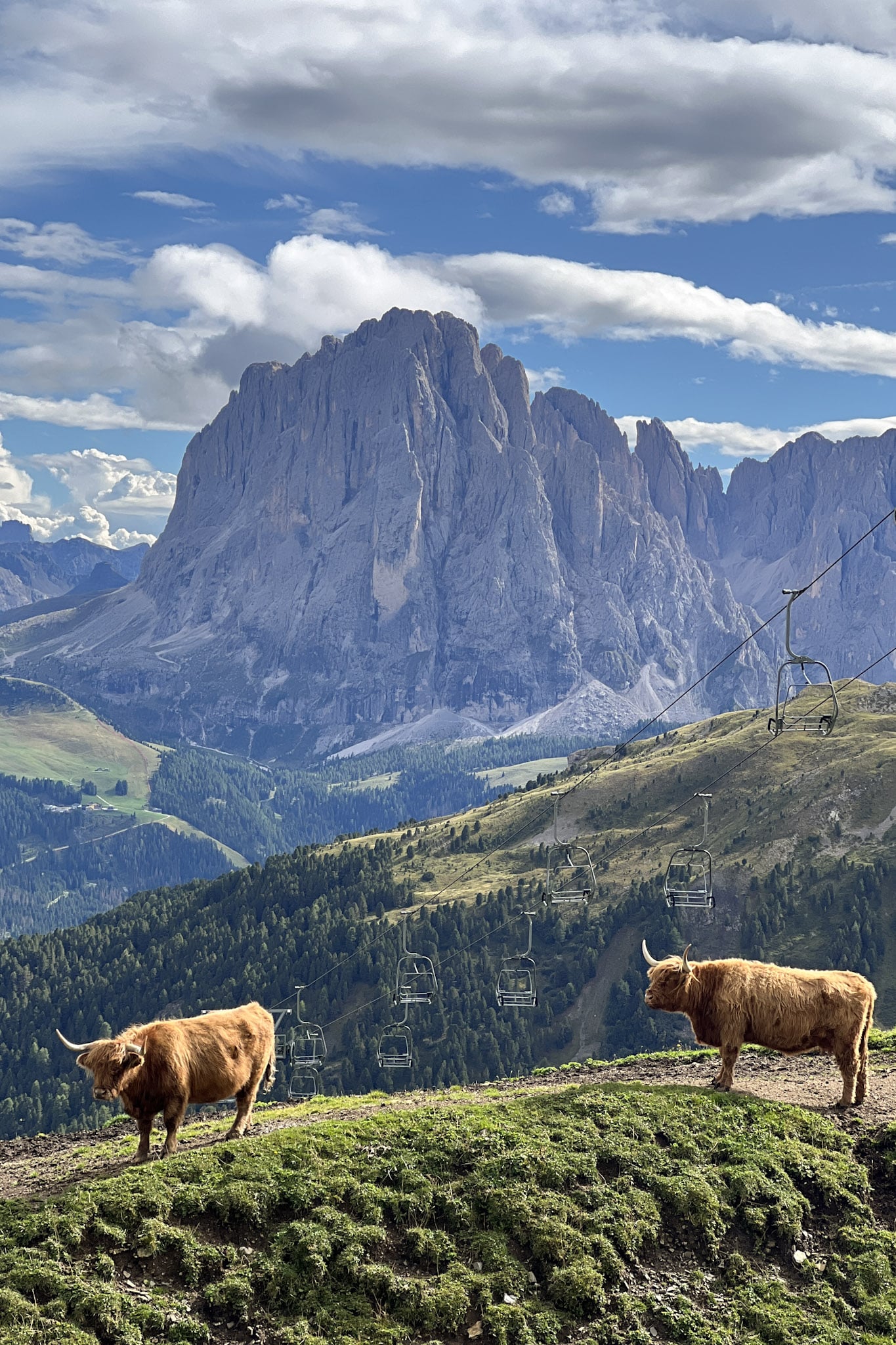
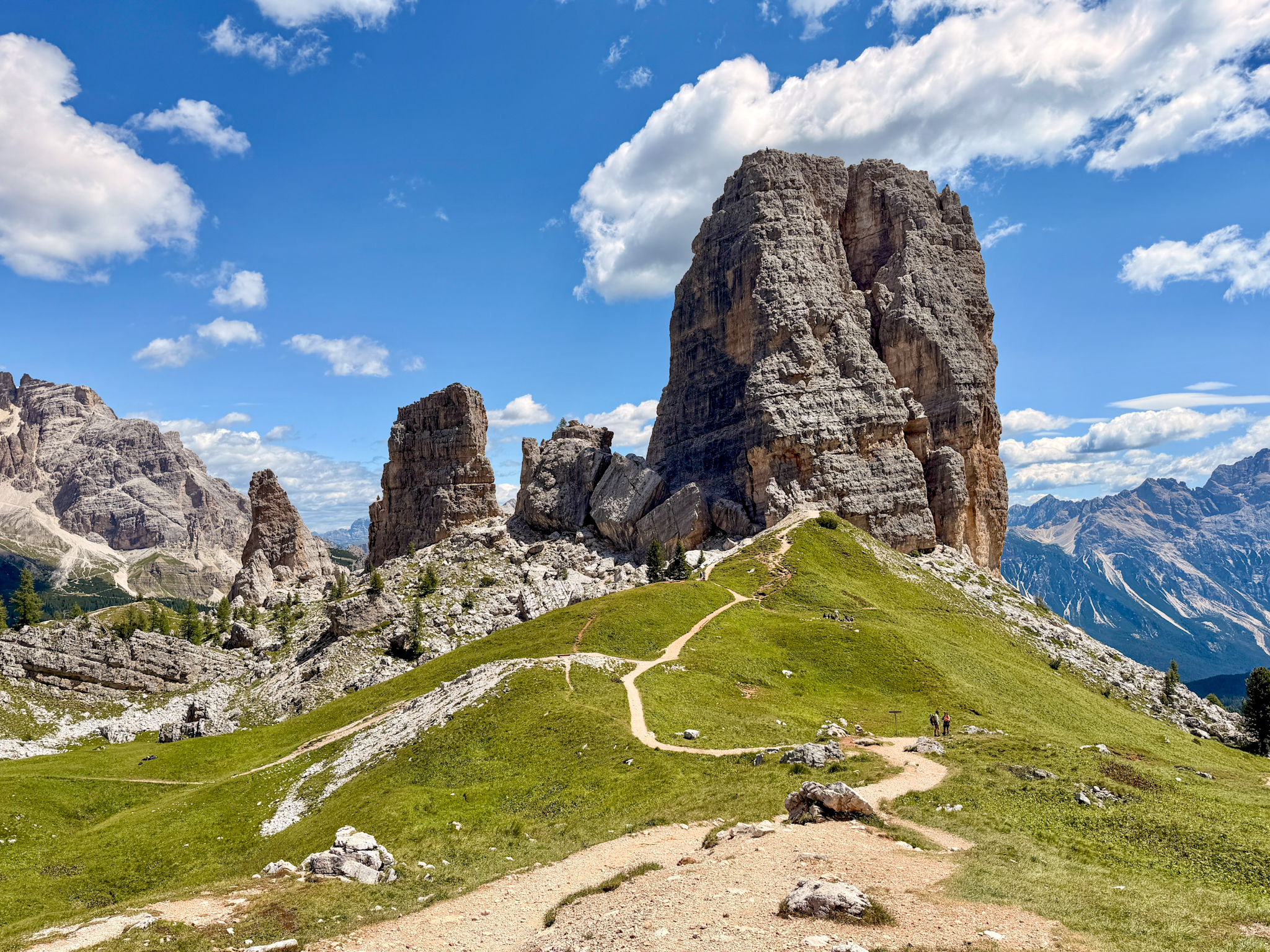
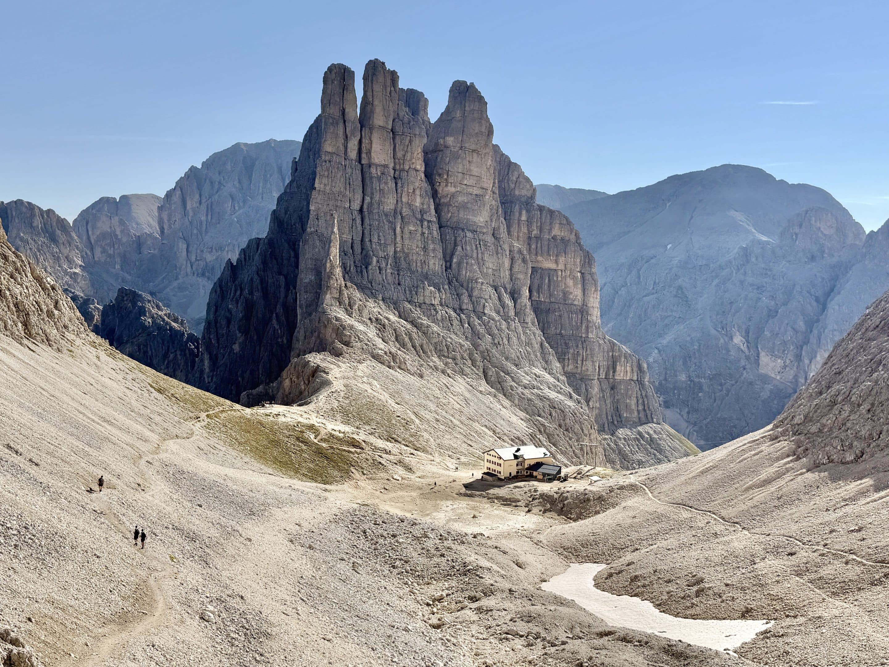
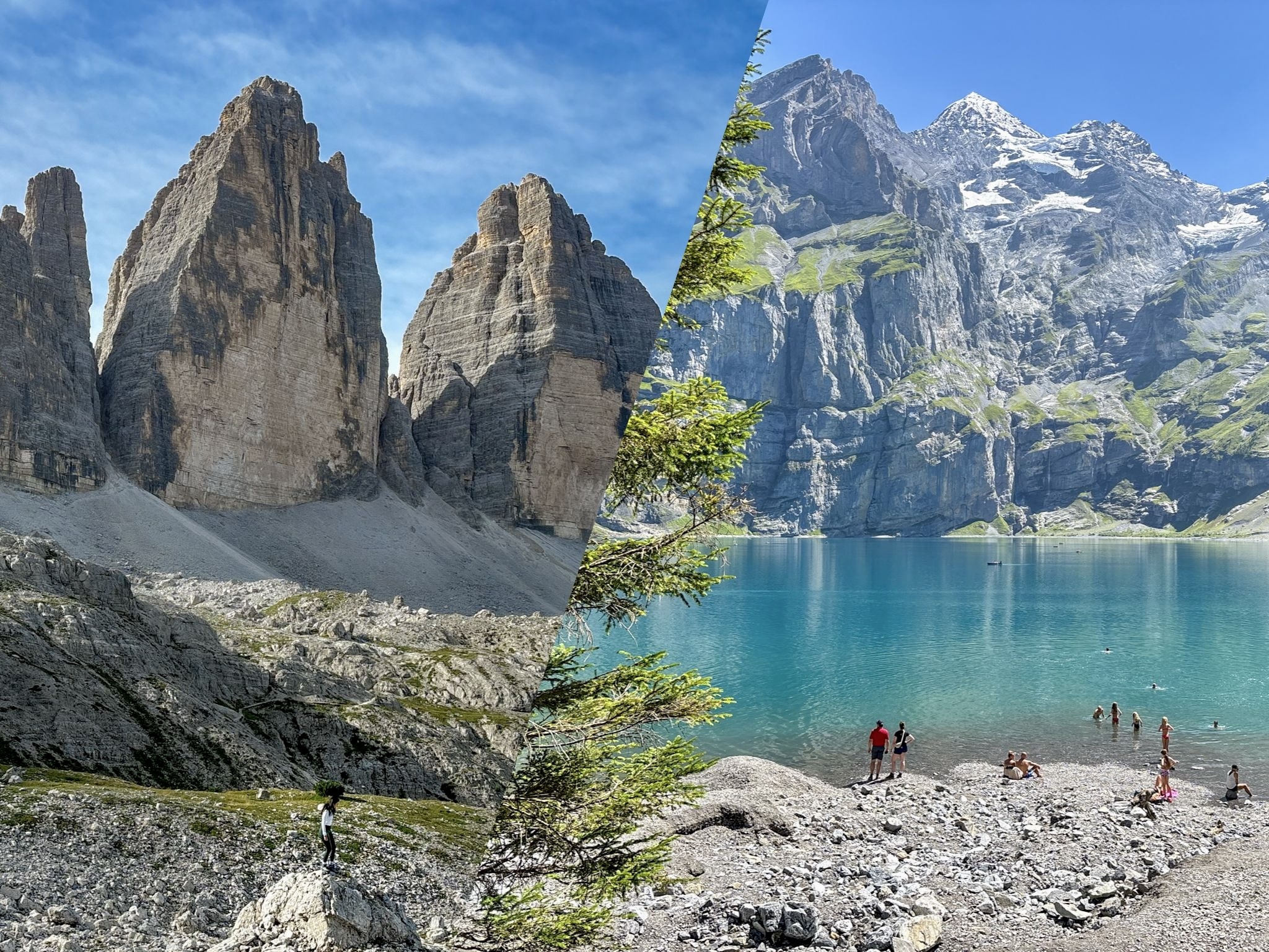
One cable car ride from Ortisei gets you to a ridgeline that's hard to stop photographing, even once you already have forty pictures of it. Here's a first‑hand guide to visiting Seceda and exploring the nearby trails, with practical tips and updated access info.
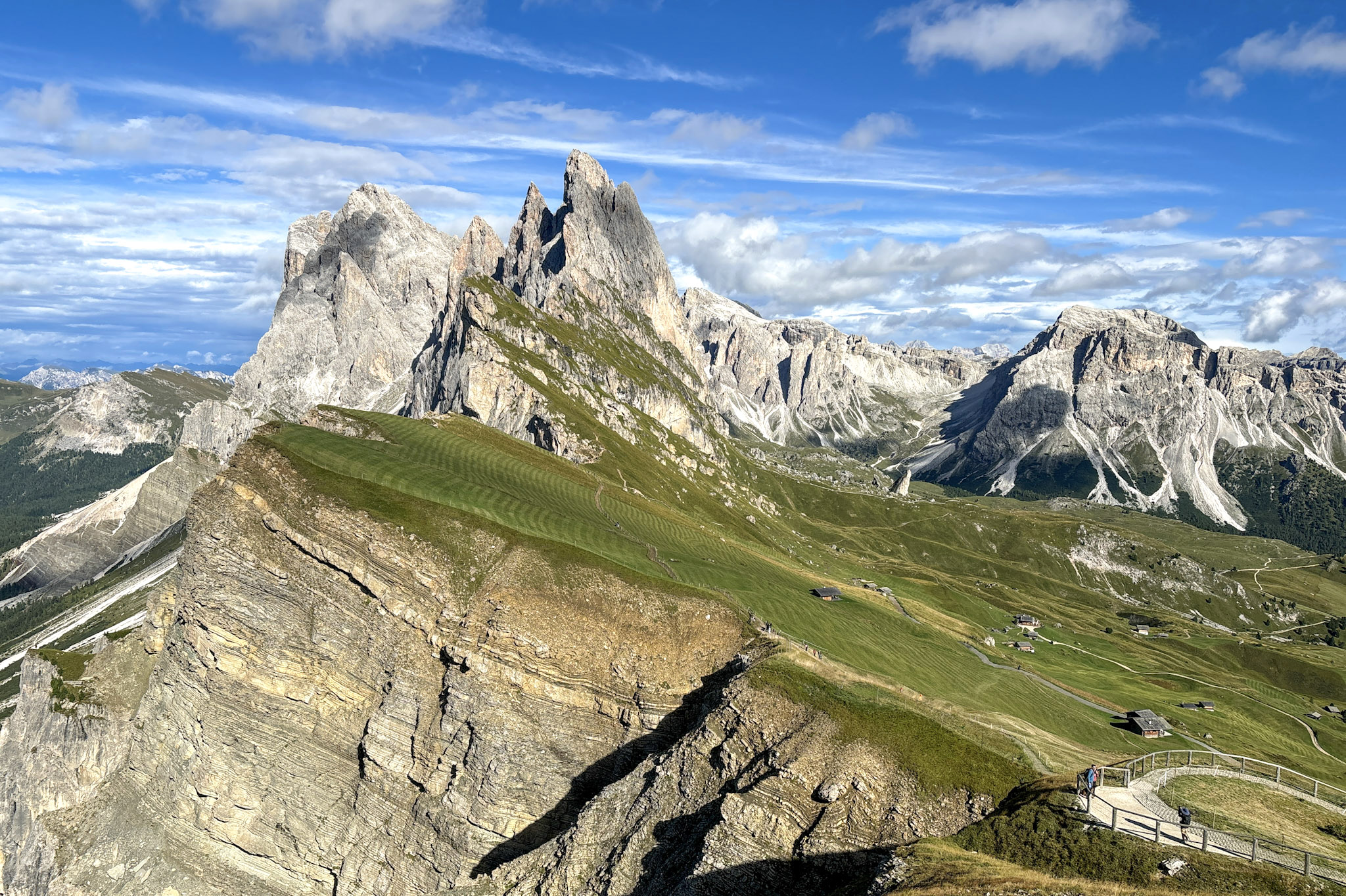
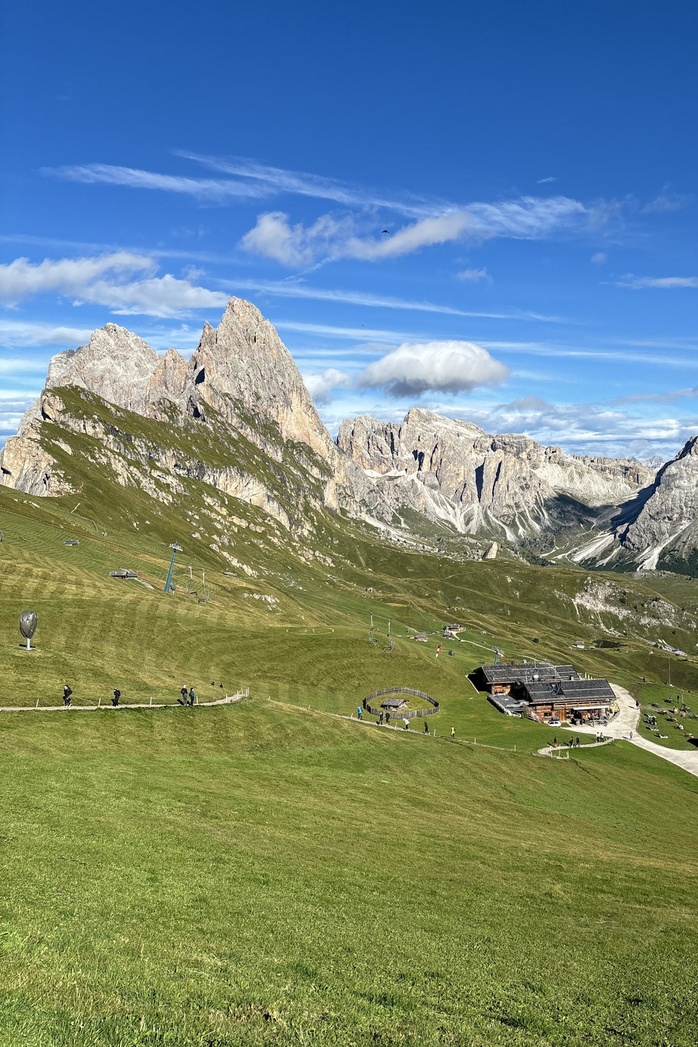
I last visited Seceda in June 2026, and the area is exactly what you expect from one of the Dolomites’ busiest viewpoints: organised, efficient, and full of people at the main lookout. Once you step away from that first platform, though, the atmosphere changes. The ridge opens into a wide network of trails, and you can move between short, easy paths and longer routes toward Pieralongia or the Puez area without feeling rushed.
This guide is based on what I actually did up there: how the summit area works, which trails are worth your time, and what has changed in 2026 regarding lift operations and access rules. If you’re planning a day on Seceda, this will give you a clear, practical overview of what to expect and how to organise your route without wasting time.
-
- Read more: 10 Best Hikes in the Dolomites, Italy
Where is the Seceda Peak located?
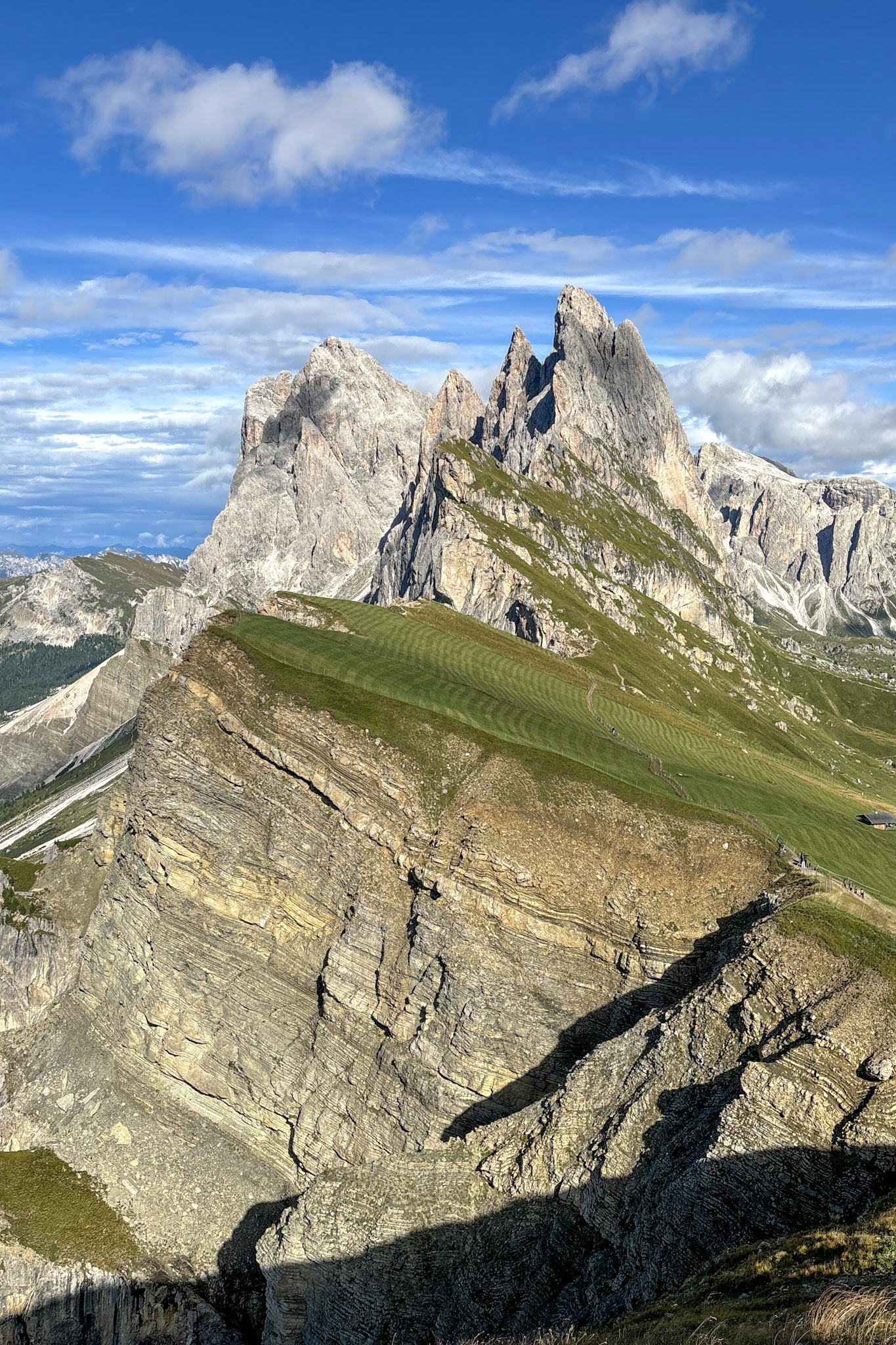
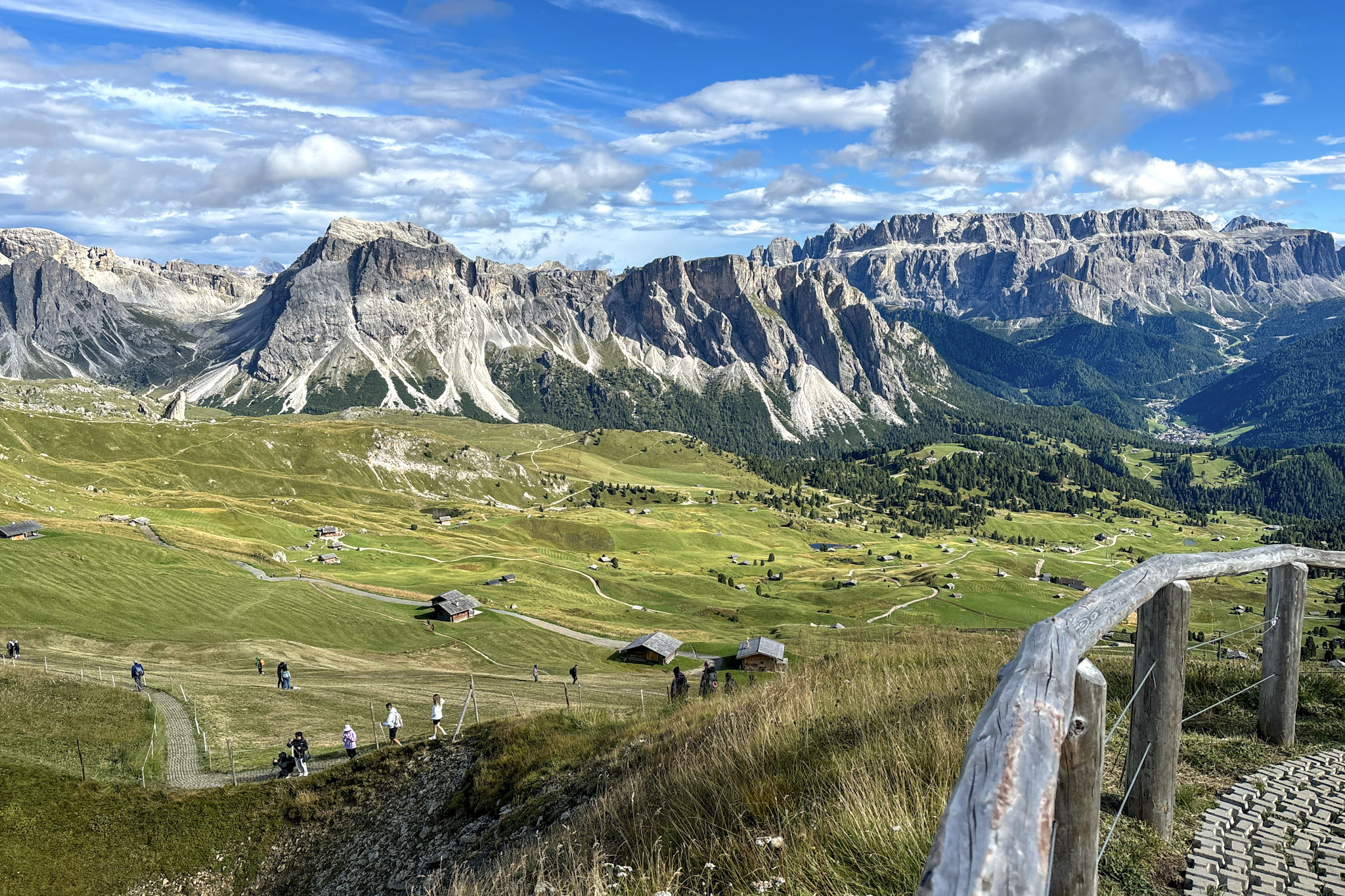
Seceda Peak is located in the northwest of Italy, tucked into the South Tyrol region of the Dolomites. It’s part of the Odle-Geisler group, famous for its dramatic peaks and epic ridgelines. The pointy spires of Seceda rise into the sky like nature's cathedral, and they stand out even among the impressive competition that is the Dolomites. On a clear day, you can see as far as Austria.
Luckily, Seceda is also one of the more accessible peaks, making it a fantastic destination for hikers of all levels, from casual strollers to hardcore mountaineers.
How to Get to the Seceda Peak
Seceda Peak is best accessed via the town of Ortisei, located in Val Gardena. It’s about a 1.5-hour drive from Bolzano, the capital of South Tyrol, or roughly three hours from Venice. Once you’re in Ortisei, you have two straightforward ways to reach the summit: taking the lifts or hiking up from town.
Getting There by Cable Cars
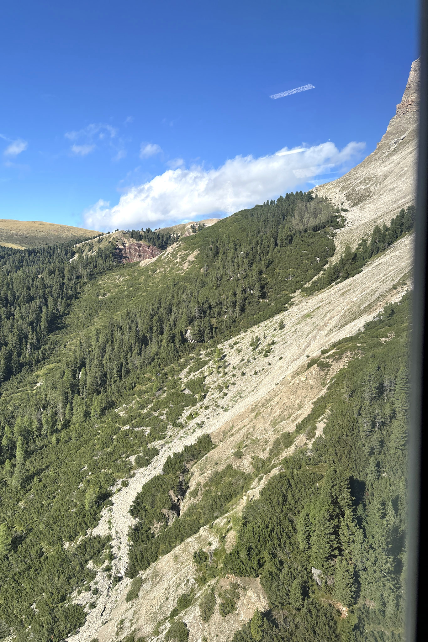
If you’re looking to save your energy for exploring the summit or just prefer a more relaxed ascent, the cable car is the ideal option. The journey is divided into two segments and lasts 15 minutes in total.
- Cable Car #1 — Ortisei → Furnes This first lift takes you from the Ortisei station up to Furnes. It’s a quick ride that gets you out of the valley and into the higher alpine terrain.
- Cable Car #2 — Furnes → Seceda From Furnes, the second lift brings you directly to Seceda’s summit area. It’s the fastest way to get above the ridgeline and start exploring the plateau.
A return ticket for both cable cars costs 74 euros (~ 86 USD) for adults, while a single ticket (either up or down) is 49 euros (~ 57 USD)*. Children aged 7 and under travel for free. For juniors aged 8 to 15, a return ticket costs 37 euros (~ 43 USD), and a one-way ticket is 25 euros (~ 29 USD)*. You can get a ticket directly there on site, but early booking online gives you a 5% discount. In addition, you can skip the queue at the ticket counter and head straight to the cable car.
Getting There by Foot
For those who like to earn their views the hard way (and I applaud you), there’s a scenic and slightly mischievous path that’ll take you up to Seceda without ever stepping foot in a cable car. It’s called the Sentiero degli Scoiattoli, or the Squirrel Trail.
The starting point is Cristauta Parking, located just a bit above Ortisei. From there. you’ll start by following Trail 6A. This will lead you through beautiful wooded areas and bring you up to the Col Raiser cable car station. Once you reach the Col Raiser station, continue on Trail 1, which takes you through more open alpine meadows and offers incredible views of the surrounding Dolomites. This part of the trail gently gains elevation and gives you a chance to catch your breath. Finally, to reach Seceda’s summit, merge onto Trail 2. This is where things get truly spectacular. The final stretch brings you along a ridgeline with panoramic views that will make all the effort worth it.
The entire hike typically takes about 3-4 hours, depending on your pace and how many squirrel sightings you stop to admire. You’ll also ascend about 1,200 meters (3,937 feet), so be prepared for a solid workout.
Here’s the AllTrails link for the Squirrel Trail to Seceda.

The Best Hiking Routes in Seceda
Seceda Peak is like a playground for hikers, and if you're looking to challenge your legs, there's certainly a trail that’ll fit your vibe. From laid-back ridge walks to full-on mountain adventures, here are some of the top hiking routes you can’t miss.
1. The Classic Route: Seceda via the Ridge Walk to Forcella Pana
Distance: 2.4 km (round trip)
Duration: 2-3 hours
Difficulty: Easy to Moderate
Elevation Gain: 100 meters (328 feet)
Check the Seceda-Forcella Pana classic route on AllTrails
This is the go-to hike if you want to take it easy but still catch those iconic Seceda views. After hopping off the cable car, you’ll follow a scenic ridgeline that feels like it’s straight out of a movie, and that will bring you to the summit of Mount Seceda (2519m) and Forcella Pana (2444m). It’s mostly a gentle walk, so even beginners can tackle it.
The Scoop: This trail hugs the ridge, giving you constant "Wow, look at that!" moments. You’ll pass green meadows that feel almost cartoonishly perfect and get up close to Seceda’s famous jagged peaks. It's perfect for anyone who loves snapping photos or wants to soak in the views without too much sweat.
2. Val Gardena Complete Loop: Epic Dolomites Adventure
Distance: 9 km (round trip)
Duration: 5-6 hours
Difficulty: Moderate to Difficult
Elevation Gain: 600 meters (1,970 feet)
Check the Val Gardena Complete Loop out on AllTrails
If you're down for a full-day trek, the Val Gardena Loop will take you through landscapes that feel almost otherworldly. It’s like stepping into a painting where every turn offers something new to gawk at. This hike is perfect for anyone who wants to feel like they’ve really explored the Dolomites.
The Scoop: Starting from Seceda, you’ll follow a ridge before descending into the Puez-Odle Nature Park—a high-altitude plateau that feels like you’re on another planet. The hike will then take you to Forcella Pana, through Rifugio Firenze and then finally to Col Raiser. It’s vast, it’s quiet, and the views are insane. Expect to see marmots, wildflowers, and views that stretch all the way to Austria.
3. Seceda to Pieralongia: For the Adventurous
Distance: 10 km (round trip)
Duration: 6-7 hours
Difficulty: Moderate Difficult
Elevation Gain: 540 meters (1,768 feet)
Check the Seceda-Pieralongia route on AllTrails
If you’re craving a bit more adrenaline, the hike from Seceda to Pieralongia and beyond will definitely get your heart pumping. This route takes you deeper into the Dolomites, past towering rock formations, narrow ridges, and some seriously epic landscapes.
The Scoop: Starting at Seceda’s summit, you’ll descend towards the Pieralongia boulders—two massive, iconic rocks that look like they were dropped there by giants. The trail becomes more technical as you continue, with steeper climbs and narrow paths. But the views? Out of this world.
Tip: This trail is for experienced hikers who are comfortable with rugged terrain. Be sure to bring enough water and snacks, and keep an eye on the weather—it can change quickly up there.
FAQs: Your Questions About Seceda Peak, Answered
When to Visit the Seceda Peak
Seceda changes personality with the seasons, and deciding when to visit is like choosing your favorite ice cream flavor—it’s hard to go wrong. That said, here’s the scoop:
- Summer: the most popular time to visit, when the hiking trails are clear, the wildflowers are in full bloom, and the temperatures are just right for an active day outdoors. Daytime highs usually range between 15-25°C (59-77°F), but it can be windy and chilly at higher altitudes, so pack accordingly.
- Winter: for snow bunnies and skiers, winter on Seceda is a playground. Seceda is part of the Dolomiti Superski region, so while hiking trails may be covered in snow, the slopes are perfect for a skiing adventure.
- Spring & Autumn: the quietest time, but with snow either melting away or just forming, there’s something uniquely peaceful about hiking during these months. Just be prepared for the possibility of some trails still being snow-covered.
Where to Rest, Eat, and Recharge: Mountain Refuges at Seceda
What’s a hike in Italy without a little culinary indulgence? Along the trails, you’ll find several rifugi (mountain refuges), where you can stop for some comfort food and a drink.
- Rifugio Firenze is a popular choice, offering traditional South Tyrolean dishes like dumplings, goulash, and, of course, apple strudel. There’s nothing like refueling with a plate of speck and cheese while gazing out over the Dolomites.
- Another excellent spot to recharge along the Seceda trails is the Troier Hütte, a welcoming alpine refuge nestled just below the peaks. Known for its relaxed atmosphere and stunning panoramic views, Troier Hütte serves up hearty South Tyrolean fare that’s perfect after a long hike. Treat yourself to local favorites like kaiserschmarrn or Schüttelbrot with speck, all while soaking in the breathtaking scenery from the sun-drenched terrace.
Why Seceda Peak Should Be on Your Bucket List
With its dramatic scenery, accessible trails, and the sheer thrill of standing at the top of the world (or so it feels), Seceda Peak is one destination that will leave an impression long after you’ve descended back to reality. So, lace up your boots, grab your camera, and prepare for an unforgettable adventure in one of the most beautiful corners of the earth.