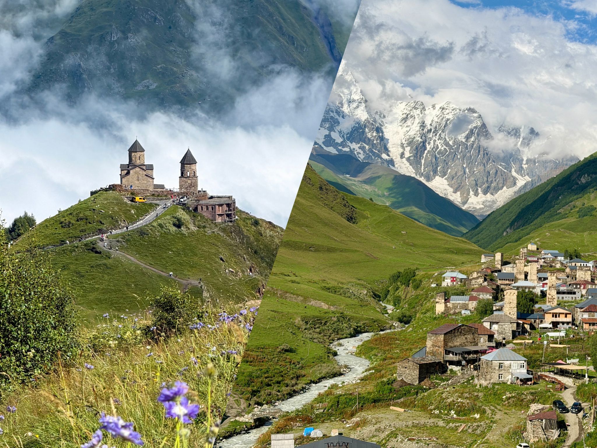
Hiking in Svaneti, Georgia, from someone who walked its best day trails: four hikes around Mestia and Ushguli, ranked and compared with real trail stats, plus the Mestia to Ushguli trek stage by stage. Inside you’ll also find a 3 to 4-day hiking plan, what a local guide adds, the best months to go and practical tips about Mestia.
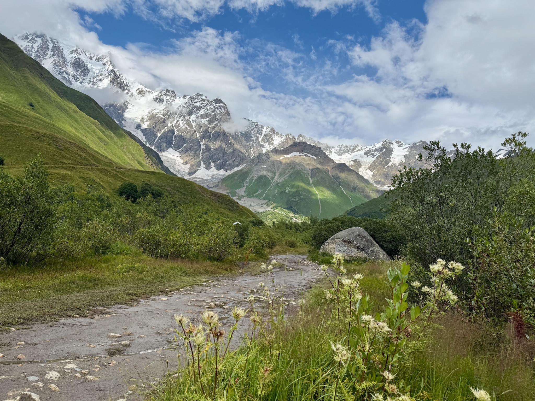
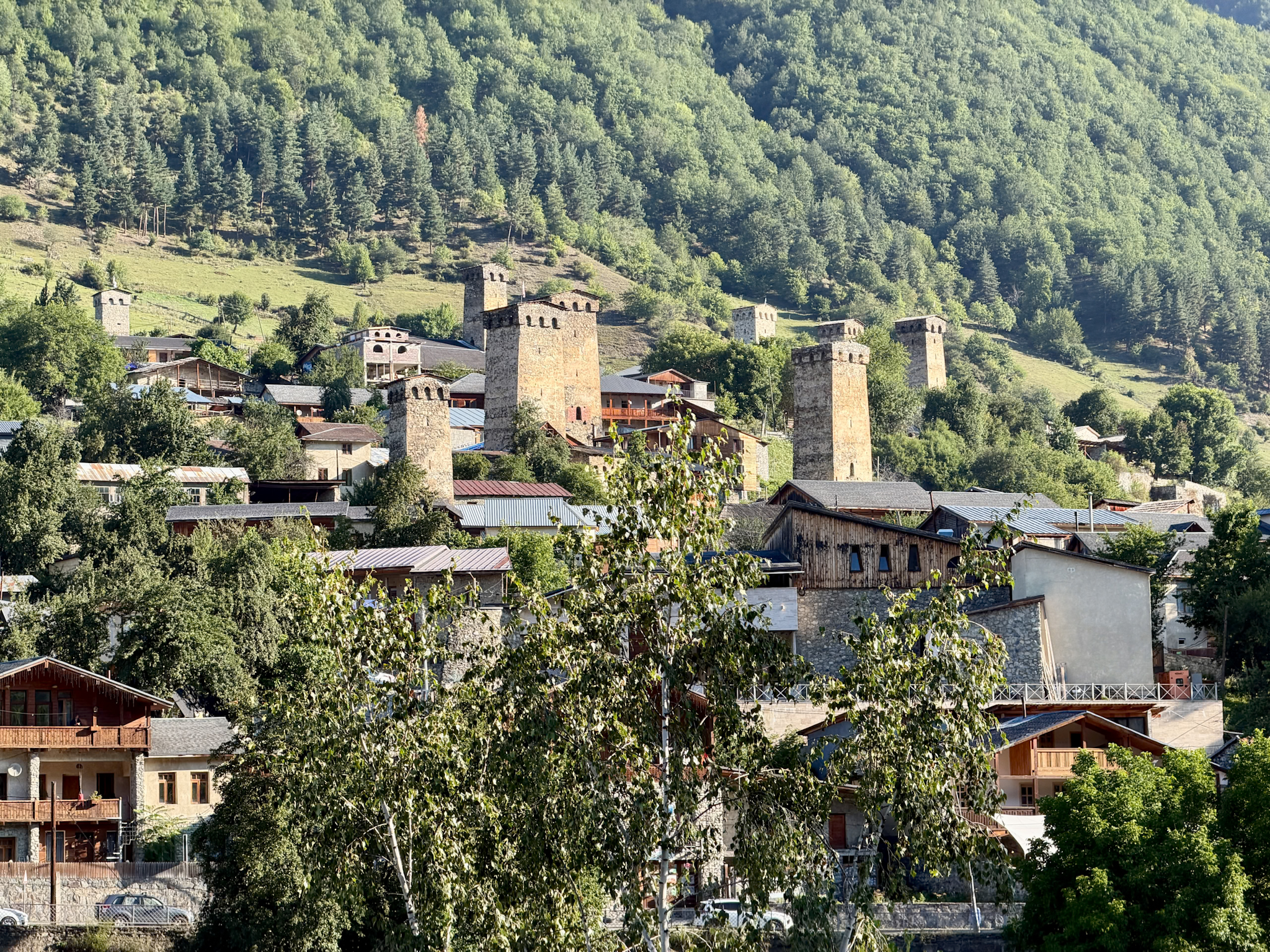
Svaneti is a mountain region in the northwest of Georgia, pressed up against the Greater Caucasus and the border with Russia. Its main town is Mestia, small and full of medieval stone towers. Further up the same valley there’s Ushguli, a cluster of villages at the foot of Mount Shkhara, the highest mountain in Georgia.
I spent three days hiking here in late August 2026. We slept in Mestia and went out on the trails every day with a local guide. This guide pulls all of that together.
First comes my ranking of the four day hikes, with the stats for each one side by side. Then the Mestia to Ushguli multi-day trek, the most popular in Georgia. The last part is about planning for Svaneti: how many days to give it, whether a guide is a good idea, how to get there and where to stay.
The trails themselves aren’t always the hard bit. Getting between them often is, because the trailheads are spread out, and the weather up here can change within an hour.
Svaneti Hiking Essentials: What You Need to Know
If you only have a minute, this is everything you need in one place. I go into each point properly later in the guide.
- Where to base yourself: Mestia. Almost every hike in this guide starts from the town or a short drive away, and it has the most hotels and restaurants in the region.
- Best time to go: June to September, when the trails are free of snow. July and August have the most stable weather, and also the most people.
- How many days you need: 3 to 4 days in Mestia covers the four day-hikes in this list. The multi-day trek from Mestia to Ushguli needs another 4 or 5 days on its own.
- How hard it gets: Three of the day hikes are easy to moderate and doable for anyone used to walking. The Koruldi Lakes are hard if you walk all the way up from Mestia, but you can also reach them by 4x4, which is what I did.
- If you only have one day: Go to the Chalaadi Glacier. It’s my favorite of the day hikes, an easy walk through the forest to the foot of a glacier, about 30 minutes’ drive from Mestia.
- Guide or no guide: You can hike every trail here on your own if you download the route beforehand. I went with a local agency, Megobari Tours, and would book them again, because the guide knew the trails and the area much better than any blog post.
- Sort this out before you go: Medical insurance is mandatory for all foreign visitors to Georgia since January 1, 2026. Save the trail maps offline on your phone (I used AllTrails), since signal comes and goes on the trails. And carry some cash, because the small cafes along the way often don’t take cards.
- Getting to Mestia: It’s a long drive from the rest of Georgia, but you can also fly in. I explain all the options in my guide on how to get to Mestia.
-
- Where to Stay: Mestia is the best base, with the most hotels and restaurants in the area. I've stayed at the Lahili Boutique Hotel in Mestia ⭐️⭐️⭐️⭐️, and quite enjoyed it. More options in my guide on where to stay in Mestia.
- Where to Stay: Mestia is the best base, with the most hotels and restaurants in the area. I've stayed at the Lahili Boutique Hotel in Mestia ⭐️⭐️⭐️⭐️, and quite enjoyed it. More options in my guide on where to stay in Mestia.
The Best Hikes in Svaneti
Here’s my ranking at a glance. Each hike has its own section below, with the trail data and what it was like.
- Chalaadi Glacier, 4.7 km (2.9 mi), easy
- Shkhara Glacier, 5 km (3.1 mi) on the short route, easy
- Shdugra Waterfall, 8 km (5 mi), easy to moderate
- Koruldi Lakes, 14 km (8.7 mi) on foot, hard, or by 4x4 car
- Mestia to Ushguli Trek, 58.9 km (36.6 mi) over 4 days, moderate to hard
The first four are day hikes. The fifth is a multi-day trek between villages.
1. Chalaadi Glacier Hike
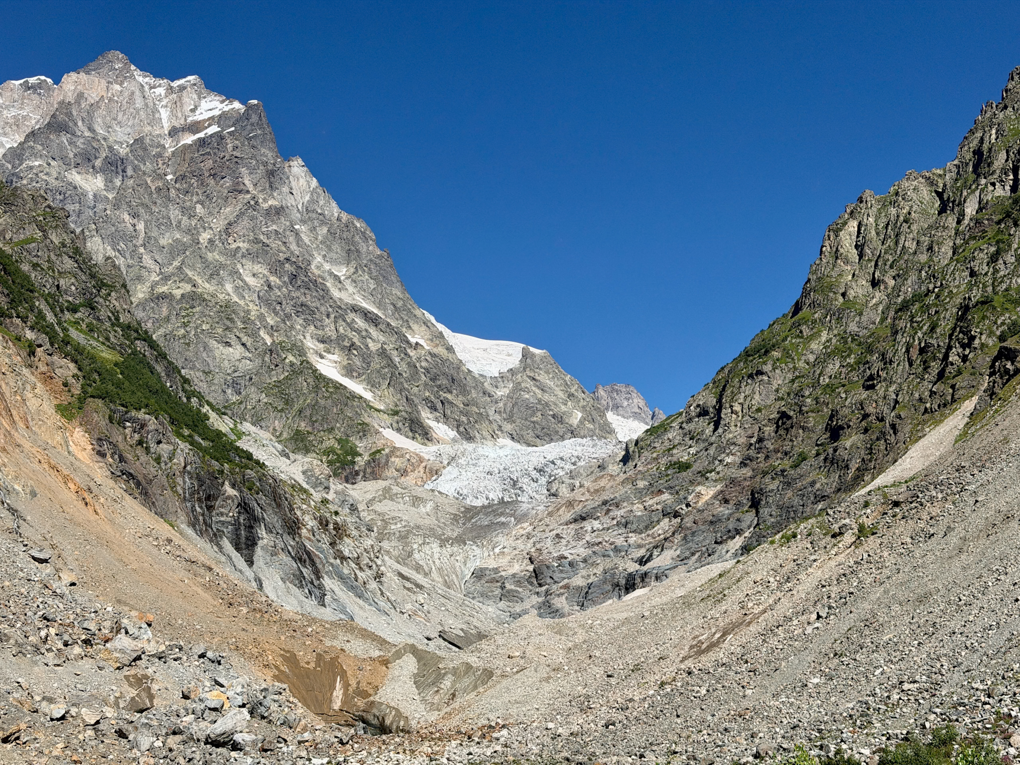
The Chalaadi Glacier sits at the end of a side valley about 10 km (6 mi) from Mestia. It comes down from Mount Ushba, and this short hike takes you through the forest right to its foot, where a grey meltwater river rushes out of an ice cave.
- Start: Free parking lot by a suspension bridge, about 30 minutes’ drive from Mestia
- Distance: 4.7 km (2.9 mi) round trip
- Elevation gain: About 300 m (985 ft)
- Time: About 2 hours
- Difficulty: Easy
From the parking lot you cross the river on a long, slightly wobbly suspension bridge and walk into a pine forest, with the glacial river next to you the whole way. About halfway the trees open onto a meadow of purple wildflowers. The last stretch is a field of big boulders, and then you’re standing below the ice.
Watch out for: Rocks fall from the glacier front all the time. Stay at least 100 m (330 ft) from the ice and don’t go into the cave.
Why it ranks first: No other hike in Svaneti gets you this close to a glacier with so little effort. Go in the morning, since most tours from Mestia arrive in the afternoon.
-
- Full guide: my Chalaadi Glacier hike guide, with the map, transport from Mestia and the trail step by step.
2. Shkhara Glacier Hike From Ushguli
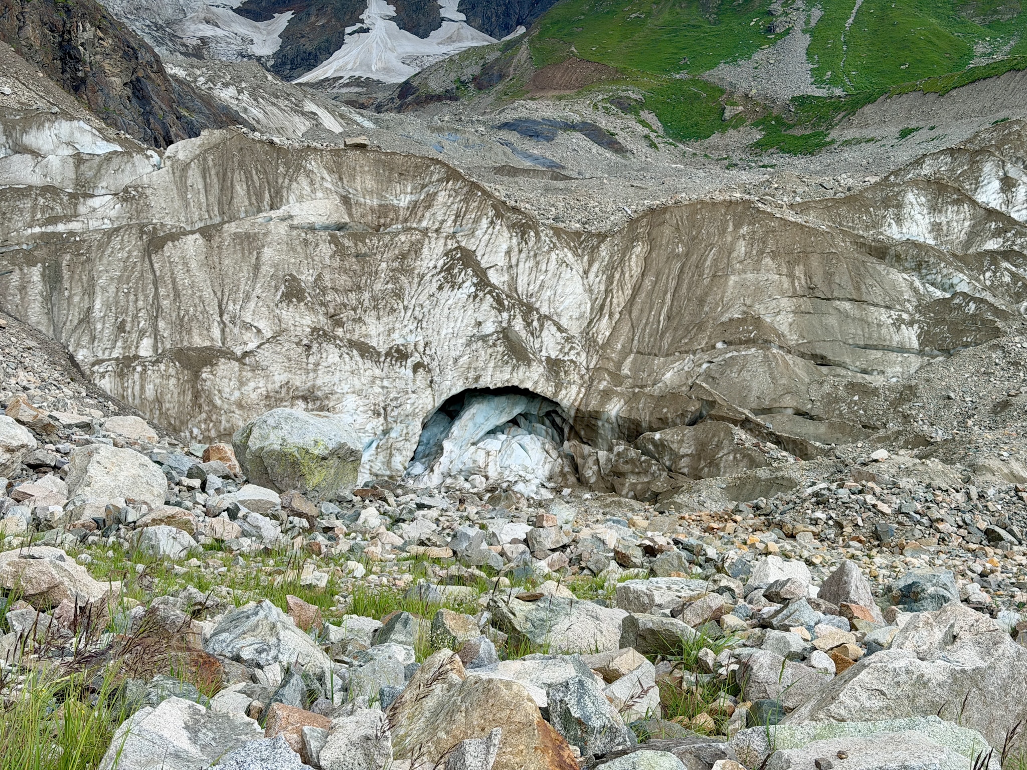
Mount Shkhara is the highest mountain in Georgia, at 5,193 m (17,037 ft). This hike follows the Enguri River up the valley above Ushguli to the glacier at its foot, where the mountain rises as a huge wall of rock and ice. Ushguli is about 2 hours’ drive from Mestia.
- Start: Ushguli for the full route, or the parking lot of the Shkhara Glacier Restaurant (4x4 only) for the short route
- Distance: 19.8 km (12.3 mi) round trip on the full route, about 5 km (3.1 mi) on the short route
- Elevation gain: 542 m (1,778 ft) on the full route, under 300 m (980 ft) on the short route
- Time: 5 to 6 hours on the full route, 2 to 2.5 hours on the short route
- Difficulty: Easy, but sometimes muddy
I did the short route. The slope is gentle the whole way, but the ground is messy, with deep mud in places and grass so tall the path almost disappears. The last part crosses big boulders, then you reach the front of the glacier, a tall wall of grey ice with an ice cave at the bottom, where the Enguri River begins. My guide showed me photos of the same spot from past years, and the ice had clearly pulled back.
Watch out for: A few confusing forks in the trail, so download the GPS track if you go alone. Stones also fall from the rock walls on both sides of the glacier, so don’t stand right under them.
Why it ranks second: It has the most impressive setting of the four, and you can see Ushguli on the same day. The messy ground and the long drive from Mestia keep it just behind Chalaadi.
-
- Full guide: my Shkhara Glacier hike guide, with both routes, how to get to Ushguli and the trail step by step.
3. Shdugra (Ushba) Waterfall Hike From Mazeri
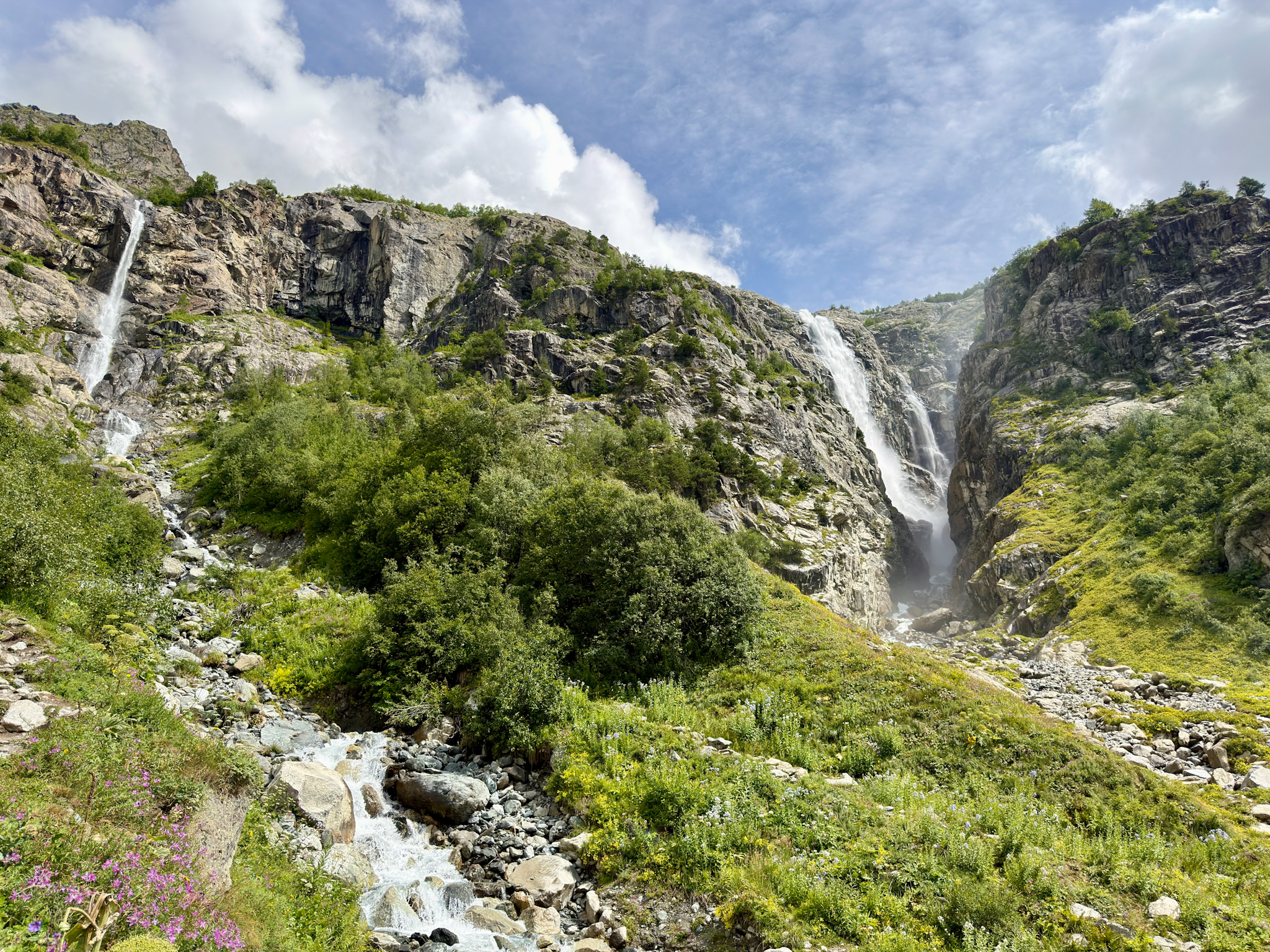
Shdugra is a tall waterfall at the end of the Dolra valley, past the village of Mazeri, about 25 km (15.5 mi) from Mestia. Right above it stands Mount Ushba, the rocky mountain with two pointed summits that you see from almost everywhere in Svaneti. That’s why many people also call it Ushba Waterfall.
- Start: Hikers Inn, a cafe where the dirt road past Mazeri ends, about 50 minutes’ drive from Mestia
- Distance: 8 km (5 mi) round trip
- Elevation gain: 427 m (1,401 ft)
- Time: About 3 hours
- Difficulty: Easy to moderate, with a steep and rocky final climb
The first half is flat, through a pine forest, and after a rainy day it was very muddy. Trekking poles helped me a lot to balance on stones and logs. Halfway there’s a small snack bar, then a wooden bridge over the river. From there the path climbs more than 200 m (660 ft) in about 1 km (0.6 mi), all on stones and boulders. I never needed my hands, though. At the top you stand below the main fall, with a second, thinner one beside it.
Watch out for: The Georgian border police have a post just past the bridge, since Russia is only a few miles north. They rarely stop anyone, but carry your passport.
Why it ranks third: It was the hardest of the three day hikes I did on foot, though not by much, and the only one with a big waterfall. The first two win because glaciers are harder to see up close in the rest of the world.
-
- Full guide: my Shdugra Waterfall hike guide, with transfers from Mestia, the trail step by step and the extension to the Ushba Glacier.
4. Koruldi Lakes: Hike or 4x4 From Mestia
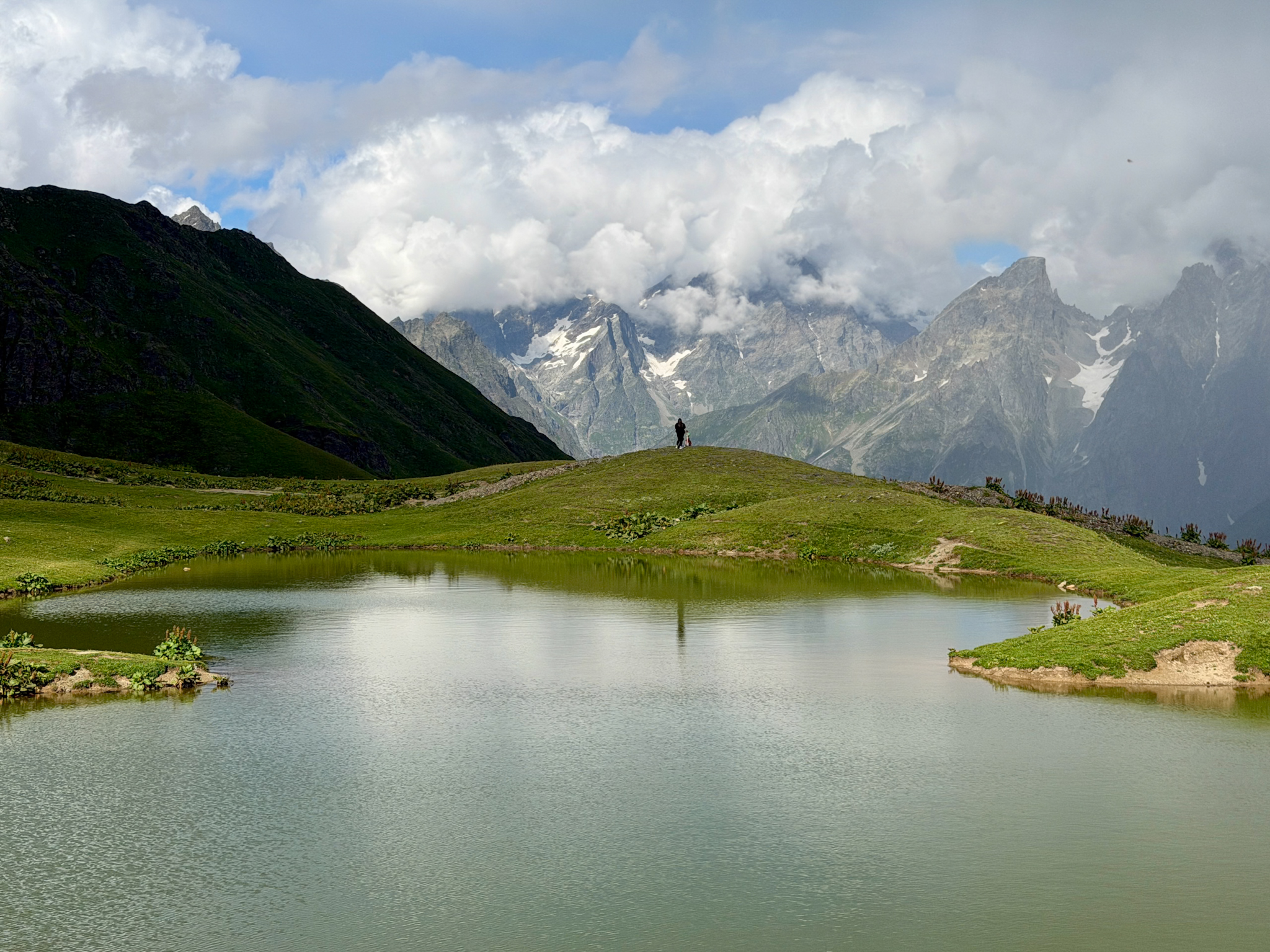
The Koruldi Lakes are a group of small alpine lakes on a grassy plateau above Mestia, at about 2,740 m (8,990 ft). On a calm day, the glaciers and granite peaks around them show up in the water. You can hike there or go up by 4x4 with a local driver.
- Start: Mestia, on foot or by 4x4
- Distance: About 14 km (8.7 mi) round trip from Mestia, or 7.6 km (4.7 mi) if you get a ride to the Cross Over Mestia, a viewpoint with a big metal cross halfway up, and walk from there
- Elevation gain: About 1,335 m (4,380 ft) from Mestia, or 530 m (1,740 ft) from the Cross
- Time: 7 to 9 hours on foot from Mestia, or about 1 hour each way by 4x4
- Difficulty: Hard on foot from Mestia. By 4x4 it takes no effort, but the road is steep and scary
I went up by 4x4, and it was the scariest drive of my trip to Georgia. The dirt road climbs in tight hairpins, then crosses slopes of loose rock with drops on one side and no barriers. Up top, the lakes are small, more like ponds. The views around them are the reason to go, and on our afternoon Mount Ushba was half hidden by clouds.
Watch out for: Only go up with a driver who does this route every day, in a modified 4x4. On the first bend above Mestia we saw a tourist in a rental SUV give up and turn back.
Why it ranks fourth: You either climb more than 1,300 m (4,260 ft) or sit through a stressful drive, and what you see at the top depends completely on the weather.
-
- Full guide: my Koruldi Lakes guide, with the three ways up, what drivers charge and how to pick a reliable one.
5. Mestia to Ushguli: Svaneti’s Classic Hiking Trek (Multi-Day)
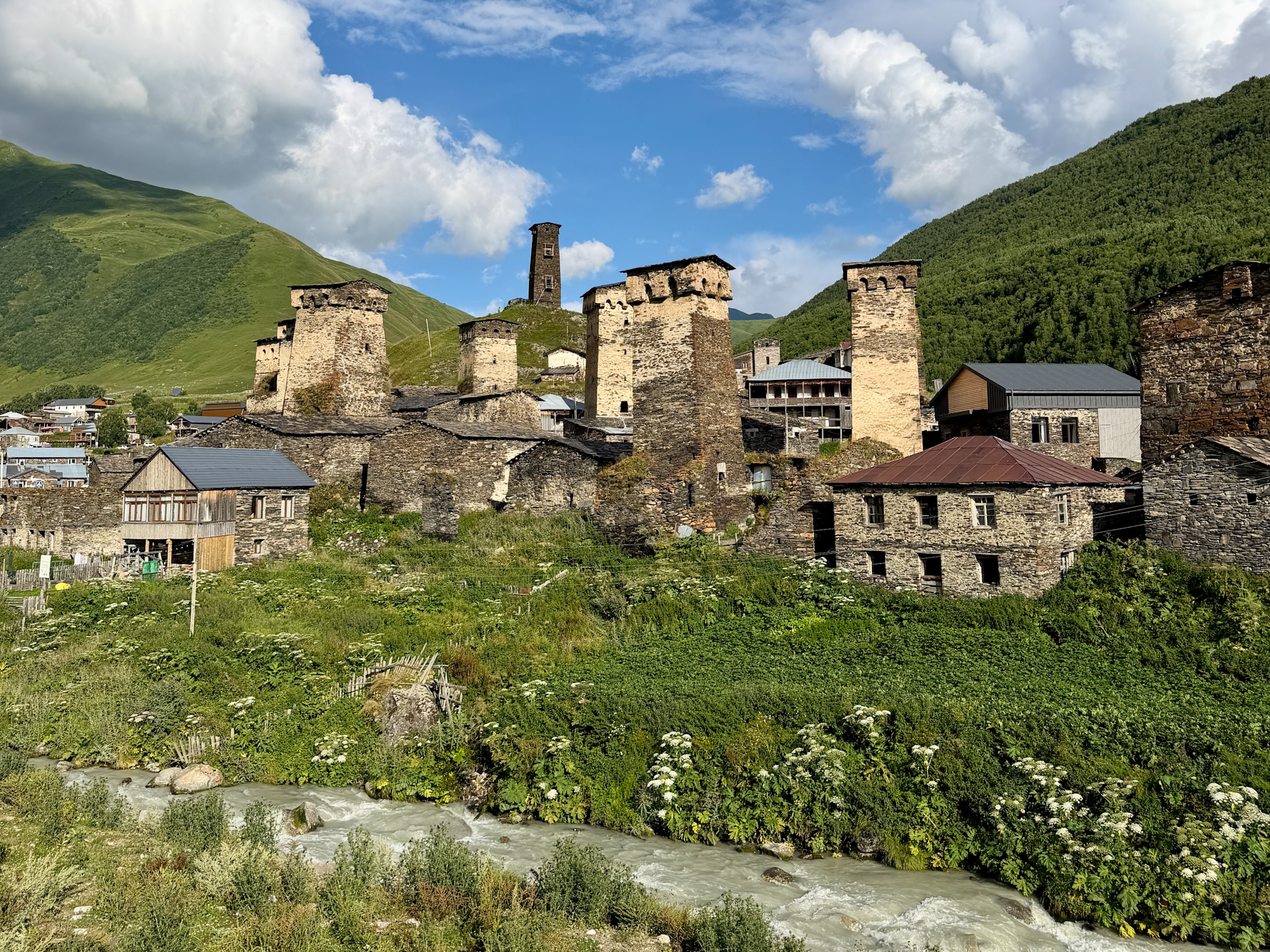
This is the most popular multi-day hike in Georgia. It connects Mestia with Ushguli in four days, through small mountain villages where you sleep in family-run guesthouses, so you don’t need a tent.
- Distance: 58.9 km (36.6 mi) one way
- Elevation gain: 2,839 m (9,314 ft) in total
- Time: 4 or 5 days
- Difficulty: Moderate. The first and last days are almost easy, but the two in the middle have long climbs
- Season: June to September. July and August are the busiest months
The exact numbers change a bit depending on the variant of the route each one follows.
Most people start in Mestia and walk east, stopping each night in a different village, and a typical arrangement is:
- Day 1, Mestia to Zhabeshi: 16.1 km (10 mi), 763 m (2,503 ft) up. Mostly dirt tracks and pastures with views of Mount Ushba, ending in the twin villages of Zhabeshi and Chvabiani, which have the most guesthouses.
- Day 2, Zhabeshi to Adishi: 10.6 km (6.6 mi), 909 m (2,982 ft) up. A steady climb to the slopes of the Tetnuldi ski resort, around 2,500 m (8,200 ft), then down through the forest to Adishi, the most isolated village on the route.
- Day 3, Adishi to Iprali: 18.7 km (11.6 mi), 860 m (2,822 ft) up. The longest and hardest day. You ford the Adishi River, then climb to the Chkhunderi Pass at 2,655 m (8,711 ft), with a view of the Adishi Glacier, and walk down a long valley to Iprali.
- Day 4, Iprali to Ushguli: 12.4 km (7.7 mi), 677 m (2,221 ft) up. A traverse of forested hillsides above the main road, finishing in Ushguli.
Guesthouses, Food and Luggage
Every village on the route has guesthouses with simple rooms, bedding and hot showers, though bathrooms are often shared. Most people book half board, meaning dinner and breakfast, and the hosts can also pack a basic lunch for the trail.
In July and August, book ahead. Adishi has only a handful of guesthouses and fills up first. There’s no luggage storage in Mestia, but most guesthouses keep your bags if you book a night there on your way back.
The Adishi River Crossing
On the third day there’s no bridge over the Adishi River, and the water comes straight from the glacier. In summer, locals wait at the crossing with horses and take hikers across for a fee.
Cross in the morning, when the water is lower. It rises during the day as the glacier melts, and this is the main reason to walk from Mestia to Ushguli and not the other way around. Coming from Ushguli, you’d reach the river in the afternoon.
Getting Back From Ushguli
You’ll need a ride back to Mestia at the end, about 2 hours by road. Shared taxis and minivans that bring day-trippers to Ushguli usually head back in the afternoon, and local drivers also offer the ride. The other option is to spend a night in Ushguli and see the village properly, which I’d recommend. The village is also the starting point of the Shkhara Glacier hike.
How Many Days Do You Need for Hiking in Svaneti / Mestia?
It depends on how many hikes you want to fit in and how much you’re happy to do in one day. The trailheads are spread out, so the drives between them take time too. These are the plans I’d suggest, all with Mestia as your base.
4 days in Svaneti: all four day-hikes, at an easier pace
Day 1: Travel to Mestia
Day 2: Chalaadi Glacier in the morning, Shdugra Waterfall in the afternoon. Both are a short drive from Mestia
Day 3: Drive to Ushguli, walk around the village and hike to the Shkhara Glacier
Day 4: Koruldi Lakes on foot, a full day
3 days in Svaneti: three day-hikes plus Koruldi Lakes by 4x4
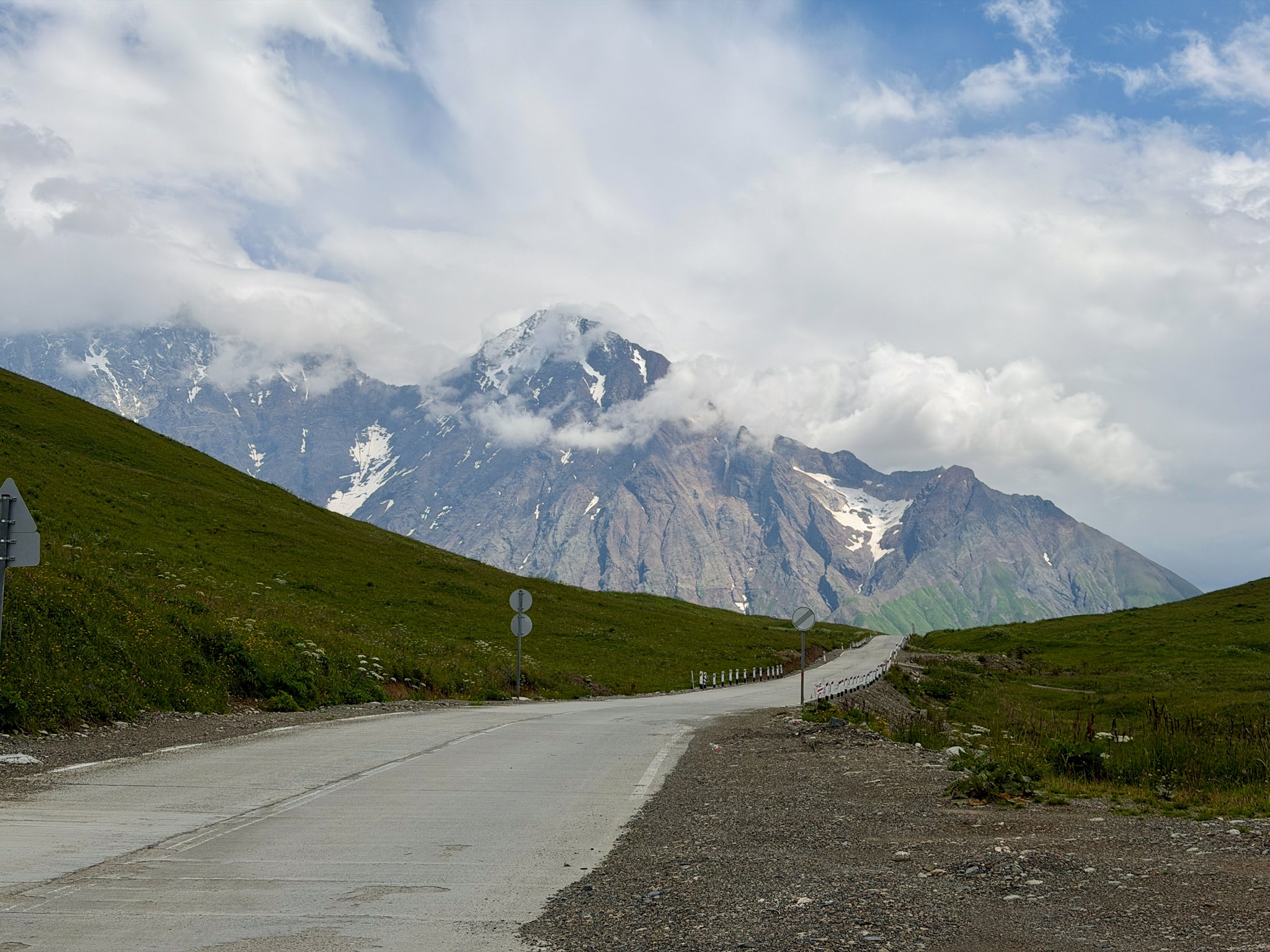
Day 1: Drive to Ushguli over the Zagari Pass, a high mountain road open only in summer, hike to the Shkhara Glacier, then continue to Mestia for the night
Day 2: Shdugra Waterfall in the morning, Koruldi Lakes by 4x4 in the afternoon
Day 3: Chalaadi Glacier in the morning, then leave Svaneti
This works only if you’re fine with long days and you go up to the Koruldi Lakes by car. It’s also the plan a lot of multi-day tours from Kutaisi follow, including my 3-day Svaneti tour from Megobari Tours.
7 to 8 days in Svaneti: the trek plus the day hikes
Plan 4 days for the trek from Mestia to Ushguli, plus at least 2 days in Mestia before you start for Chalaadi and Shdugra. Since the trek ends in Ushguli, you can hike to the Shkhara Glacier on your last day there, before heading back.
Add a spare day if you can
The weather in Svaneti changes fast. I had sun, clouds and short showers every day in late August, and it was never bad enough to stop us. But a strong storm can wipe out a full day of hiking, especially on the higher trails like Koruldi or the passes on the trek.
Planning Your Trip: Where to Stay & How to Get There
Mestia as Your Base
Mestia is the main town of Svaneti and the easiest place to stay for hiking. It has the most hotels, guesthouses and restaurants in the region, and three of the four day hikes in this guide are less than an hour’s drive away. I stayed at the Lahili Boutique Hotel in Mestia ⭐️⭐️⭐️⭐️ and was happy with it.
The one exception is Ushguli. If you want to walk the full Shkhara Glacier route from the village, or you’re finishing the trek there, sleeping in Ushguli saves you a 2-hour drive each way. Hotel Tekla ⭐️ is a simple family-run option with its own restaurant.
I compare areas and hotels in more detail in my guide on where to stay in Mestia.
Getting to Mestia
Mestia is far from everything else in Georgia, so getting there takes most of a day. Most trips start in Kutaisi, the closest city with an international airport. From there you can drive yourself, join a multi-day tour, or take a marshrutka, the shared minivans that connect towns in Georgia.
From Tbilisi, the capital, you can take the train to Zugdidi and continue by marshrutka. There are also small planes from Natakhtari, near Tbilisi, a few times a week, but they’re often canceled in bad weather.
I go through every option, with times and routes, in my guide on how to get to Mestia.
Hiking With a Guide vs On Your Own
You can do every day hike in this guide on your own. The trails aren’t technical, and with the GPS track saved offline on your phone you won’t get lost. What takes effort is the research before you go, since updated information on Svaneti is still hard to find online.
I went with Megobari Tours, on a 3-day tour from Kutaisi that included transport and a hiking guide. I hadn’t had time to study the routes before leaving, and our guide made up for that. She knew every trail, drove us straight to each trailhead, found us a driver for Koruldi and explained a lot about the region along the way. I’d book them again.
For the multi-day trek, many people go fully on their own, sleeping in guesthouses booked ahead. If you’d rather not organize anything, operators like TrekGeorgia run guided trips with luggage transfers between villages. Camp Caucasus sells a self-guided version, with maps, bookings and luggage transfers, where you walk on your own.
Best Time for Hiking in Svaneti
The hiking season runs from June to September. In June, snow can still block the higher routes, like the Guli Pass, a high pass on the trail from Mestia to Mazeri, or the last part of the Koruldi Lakes. July and August have the most stable weather. September is quieter and often still sunny, and in October the days get short and cold.
I went in late August, the busiest time of year, and Mestia was almost fully booked. The trails were a different story. Early in the morning they were almost empty, and even late in the day I never found them crowded. That said, Georgia is getting more popular every year.
Expect the weather to change often. I had sun, clouds and a bit of rain on the same day.
What to Bring
- Waterproof hiking boots with a good grip. Every trail I did had mud, wet rocks or boulders.
- Trekking poles. They helped me most in the mud on the Shdugra and Shkhara trails.
- Layers. A rain jacket and a warm layer, even on a sunny morning. It gets cold near the glaciers.
- Long pants. Useful in the tall grass sections, and against ticks.
- Water and snacks. Bring all your water for the day, since I didn’t find a safe place to refill on any trail.
- Offline maps. Save the AllTrails tracks before you leave Mestia, since signal comes and goes.
- Cash in small notes. Trail cafes and local drivers usually want lari (GEL), the Georgian currency, in cash.
- Your passport. The Shdugra trail passes a border police post, and the Chalaadi valley also runs close to the border.
FAQ
Do you need a 4x4 to reach the trailheads in Svaneti?
I’d recommend one. Roads in Svaneti are often rough, with potholes, gravel stretches and steep dirt tracks, and a 4x4 with high clearance and good suspension makes every drive easier and saves you from scraping the bottom of the car. Technically, a normal car can reach the Chalaadi Glacier parking lot and the Shdugra Waterfall trailhead past Mazeri if you drive slowly. For the short route to the Shkhara Glacier you really need a 4x4, and for the Koruldi Lakes only a modified 4x4 with a local driver who knows the road.
Are there entrance fees for hiking in Svaneti?
No. None of the hikes in this guide has a ticket or a park fee, and parking at the trailheads is free. You only pay for transport, food and, on the trek, guesthouses and the horse ride across the Adishi River.
Are there toilets and places to eat on the trails?
Only at the start, in most cases. Chalaadi, Shkhara and Shdugra each have a cafe with a basic toilet at the trailhead, and Shdugra has a second small snack bar halfway. On the way to the Koruldi Lakes there’s one cafe near the Cross over Mestia, and nothing at the lakes. On the trek, there are small cafes along most stages.
Is it safe to hike in Svaneti?
The trails themselves are not dangerous, but there are a few specific risks. Stones fall often from the front of the glaciers at Chalaadi and Shkhara, so keep your distance from the ice. The Adishi River on the trek is strong, especially in the afternoon. And the 4x4 road to the Koruldi Lakes is only relatively safe (and that's a stretch) with an experienced local driver.
Where can you see Mount Ushba?
Ushba, the double-peaked mountain that’s the symbol of Svaneti, is visible from many places around Mestia on a clear day. The closest views on the hikes in this guide are from the Shdugra Waterfall trail, the Koruldi Lakes and the Guli Pass. The easiest view is from the top of the Hatsvali cable car, which runs in summer from the edge of Mestia up to Zuruldi Ridge.
Is Svaneti or Kazbegi better for hiking?
They’re quite different. Kazbegi is about 3 hours by road from Tbilisi, so it works even on a short trip, and its most famous hike, to the Gergeti Glacier, is long and steep. Svaneti takes a full day or more to reach, but it has the classic multi-day trek and glaciers you can get to on easy trails. For the other side, see my complete guide to the Caucasus mountains in Kazbegi.
Personally, I liked Svaneti more. I went through the differences in more detail, including how to travel between the two regions, in my guide: Kazbegi or Svaneti: Which to Pick & How to Do Both
Is Svaneti worth it if you don’t hike?
Honestly, it’s harder to enjoy. Apart from Mestia itself and the village of Ushguli, almost everything worth seeing in Svaneti involves at least some walking. If long hikes aren’t for you, the easiest options are the Chalaadi Glacier, the short route to the Shkhara Glacier, or the Koruldi Lakes by 4x4, if a scary mountain road doesn’t bother you.