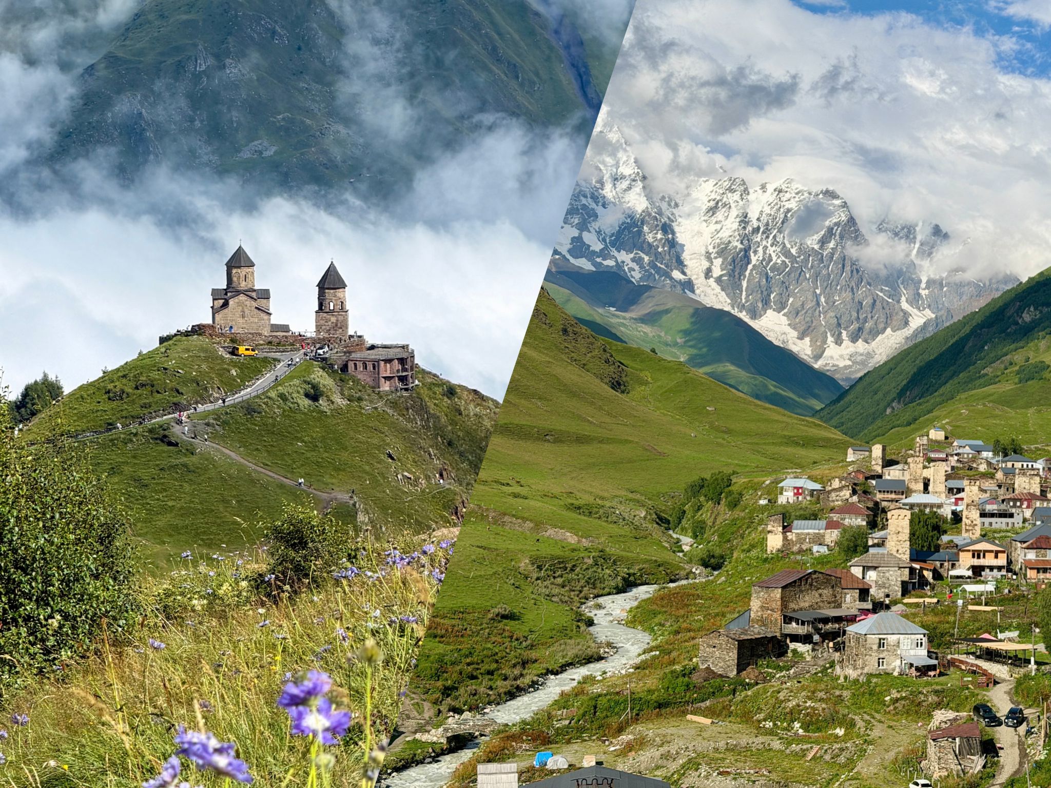
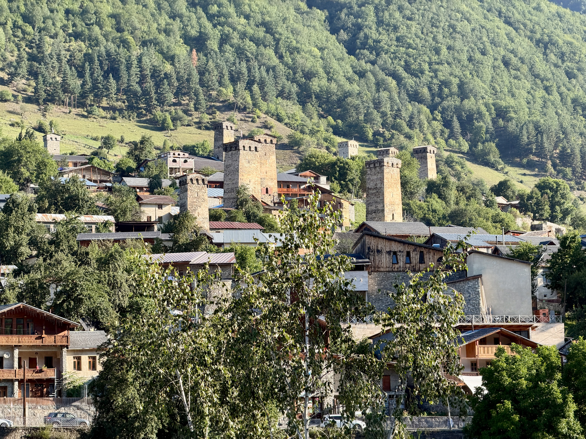
Everything you need for the Shkhara Glacier hike in Georgia: the full route from Ushguli, the shortcut from the 4x4 parking, trail conditions and safety tips.
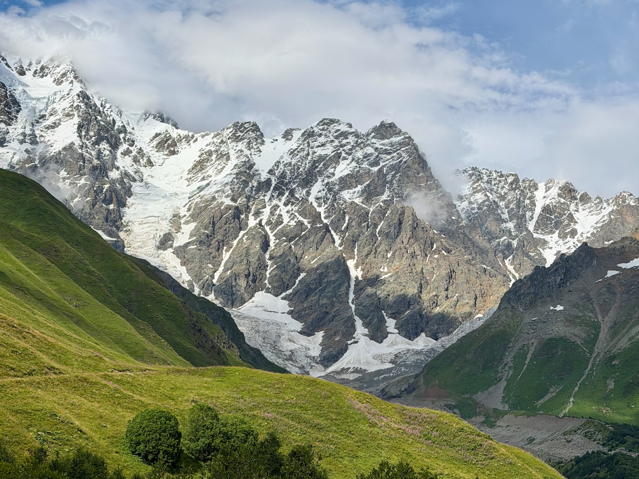
The Shkhara Glacier hike is one of the few ways to get close to a real glacier in Georgia without any climbing. The trail follows the Enguri valley above Ushguli, in the Svaneti region, and ends at the foot of the ice that comes down from Mount Shkhara, the highest mountain in the country.
You can do it in two ways. Most people walk the full trail from Ushguli, and that takes a good part of the day. The other option is a shortcut, as you can drive up the valley on a rough dirt road to a small restaurant, then walk from there.
I did the short version in August, on a guided tour of Svaneti. The slope stays gentle the whole way, so in that sense it was easy. The ground was messier than I expected though, with mud and tall grass.
Below I go through both routes, how to reach each trailhead, what the trail is like step by step, with photos, and what to watch out for once you're standing in front of the glacier.
-
- Shkhara Glacier is one of the many hikes worth doing around Svaneti. For the full ranking with the other four, see my guide to the 5 best hikes in Svaneti
Quick Hiking Trail Info
-
- Trailhead: Ushguli, near Lamaria Church (full hike), or the parking at the Shkhara Glacier Restaurant (short hike)
- Distance: 19.8 km (12.3 miles) round trip from Ushguli, or about 5 km (3.1 miles) round trip from the Shkhara Glacier Restaurant
- Elevation gain: 542 m (1,778 ft) from Ushguli, under 300 m (about 980 ft) from the restaurant
- Time: 5 to 6 hours from Ushguli, about 2 to 2.5 hours from the restaurant with photo stops
- Difficulty: Easy, the slope is gentle, but the trail is muddy
- Toilets: basic squat toilet at the restaurant, free to use
- Cost: free, you only pay for transport
- For the exact GPS references, check this AllTrails track, or this Wikiloc track.
-
- Where to Stay: you can sleep in Ushguli, right where the trail starts, or you can stay in Mestia, about two hours' drive away, where there are more hotels and restaurants. These are my picks:
- Hotel Tekla in Ushguli ⭐️, a simple family-run guesthouse with its own restaurant, if you want to wake up close to the trailhead
- Lahili Boutique Hotel in Mestia ⭐️⭐️⭐️⭐️, where I stayed during my days in Svaneti, if you prefer more comfort and plenty of places to eat nearby
- Where to Stay: you can sleep in Ushguli, right where the trail starts, or you can stay in Mestia, about two hours' drive away, where there are more hotels and restaurants. These are my picks:
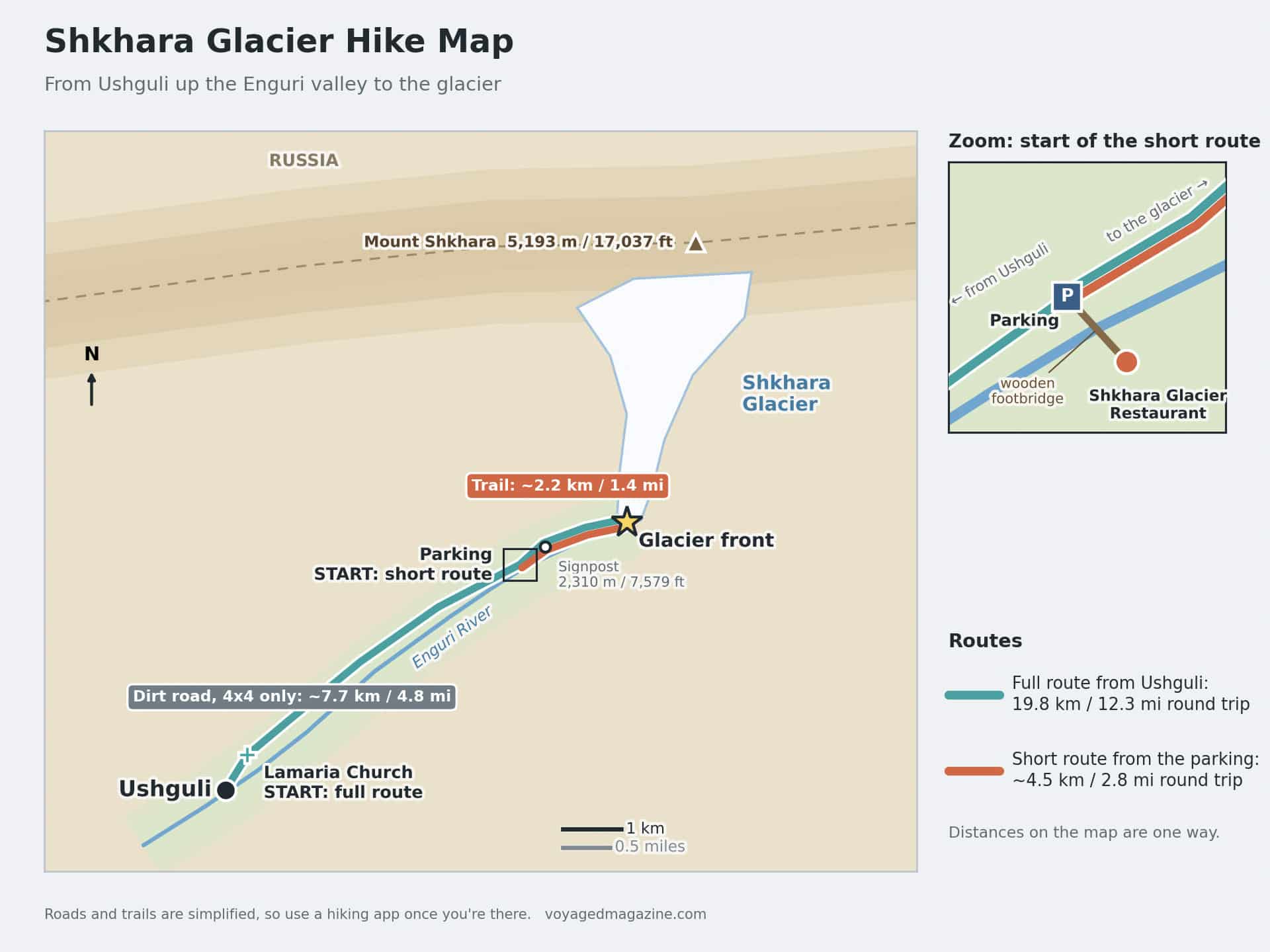
Shkhara Glacier Hike: Full Route vs Short Route
Both versions end at the foot of the glacier. The only difference is where you start walking.
The Full Hike from Ushguli
Distance: 19.8 km (12.3 miles) round trip; Elevation gain: 542 m (1,778 ft)
Best for: staying in Ushguli, no 4x4, or a full day of walking
This is the classic route. You leave Ushguli, pass Lamaria Church in Zhibiani, the highest of the four small villages that make up Ushguli, and follow the dirt road up the valley.
The Enguri River runs next to you the whole time. The valley is wide and mostly flat, just long, and you'll share it with a 4x4 every now and then. Then the road ends at the Shkhara Glacier Restaurant, and from there it's the same trail as the short version below.
The Short Hike from the Shkhara Glacier Restaurant
Distance: about 5 km (3.1 miles) round trip; Elevation gain: under 300 m (about 980 ft)
Best for: day trips from Mestia, or exploring Ushguli and the glacier on the same day
This is the one I did. You drive to the restaurant, park, and walk only the last stretch.
I set off at 2 pm and reached the glacier at 3 pm. Back at the car by 4:20, photos included. Short, yes. But it's also the trickiest part of the whole route, with mud, tall grass and a few confusing sections. More on that in the step-by-step recap.
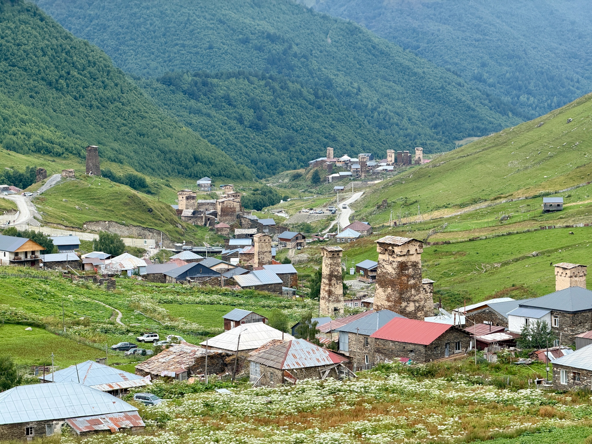
How to Get to Ushguli for the Shkhara Glacier Hike
Ushguli is a tiny village at the end of the road in Svaneti. The closest international airport is in Kutaisi, Georgia's second airport, and that's where almost every trip to Svaneti starts.
From Kutaisi you have three ways to get there. I cover an option in detail in my guide on how to get to Mestia & Svaneti, but here's what you need to know:
Option 1: Join a multi-day tour (the easiest)
Best for: first-timers, and anyone who doesn't want to drive mountain roads
This is what I did. Most tours of Svaneti start in Kutaisi, last 2 or 3 days, and include transport, a driver and often a hiking guide. You don't have to plan anything. I went with Megobari Tours on their 3-day tour, and the Shkhara Glacier hike was on day one.
Option 2: Drive a rental car
Best for: independent travelers who are comfortable on mountain roads
You can pick up a car at Kutaisi airport. There are two roads to Ushguli, and you can use one to go and the other to come back:
- Through Mestia: about 6 to 7 hours total. The road is good and open all year. Most people break the trip with a night in Mestia, the main town of Svaneti.
- Through the Zagari Pass: about 4 hours, 185 km (115 miles). Faster, but it's a high mountain pass, open only from around June to October, with a few gravel sections.
A 4x4 isn't strictly needed to reach Ushguli in summer, but you'll need one if you want to drive to the start of the short route. Fill up the tank before you leave, watch out for cows on the road, and don't drive after dark.
Option 3: Take public transport (the 'marshrutkas')
Best for: budget travelers with time to spare
Shared minivans, called marshrutkas, run from Kutaisi to Mestia, usually in the morning. The ride takes most of the day. The next morning, minivans and shared jeeps leave Mestia for Ushguli. There's no public transport over the Zagari Pass.
How to Get from Ushguli to the Shkhara Glacier Restaurant
You can get there in three ways:
- On foot: this is the full hiking route. Nothing to organize, you just start walking from the village.
- With a rented 4x4: the road is flat but full of potholes, and the last part is all loose rocks. A normal car won't make it.
- On a tour: day tours to the glacier are rare, since most Svaneti tours are multi-day trips from Kutaisi. On mine (3-day Svaneti tour from MegobariTours), the guide drove us up to the parking lot in a 4x4.
At the end of the road there's a gravel parking lot. Cross the small wooden footbridge and the Shkhara Glacier Restaurant is right there, in a wooden cabin. It serves food and drinks, and has a toilet. A very basic squat one, but it's the only one on the trail.

The Shkhara Glacier Trail, Step by Step
The Valley Road from Ushguli to the Restaurant
This first part is only for the full route. It starts behind Lamaria Church and follows a wide dirt road up the valley for about 7.7 km (4.8 miles), with the Enguri River next to you.
I did this stretch by car, but it's an easy walk. The road is open and almost flat the whole way, with meadows on both sides and the Shkhara wall getting closer as you go. Plan on about 2 hours on foot.
You'll share it with the 4x4s going up to the restaurant, but there aren't many.
The Parking and the Shkhara Glacier Restaurant
The road ends at an open gravel parking lot by the river. This is where the short route starts.
The restaurant is on the other side of the river, across a small wooden footbridge. It's a simple wooden cabin that serves food and drinks. I didn't eat there, but I did use the toilet: a very basic squat one, free to use. It's the only toilet on the whole route, so it's worth stopping.
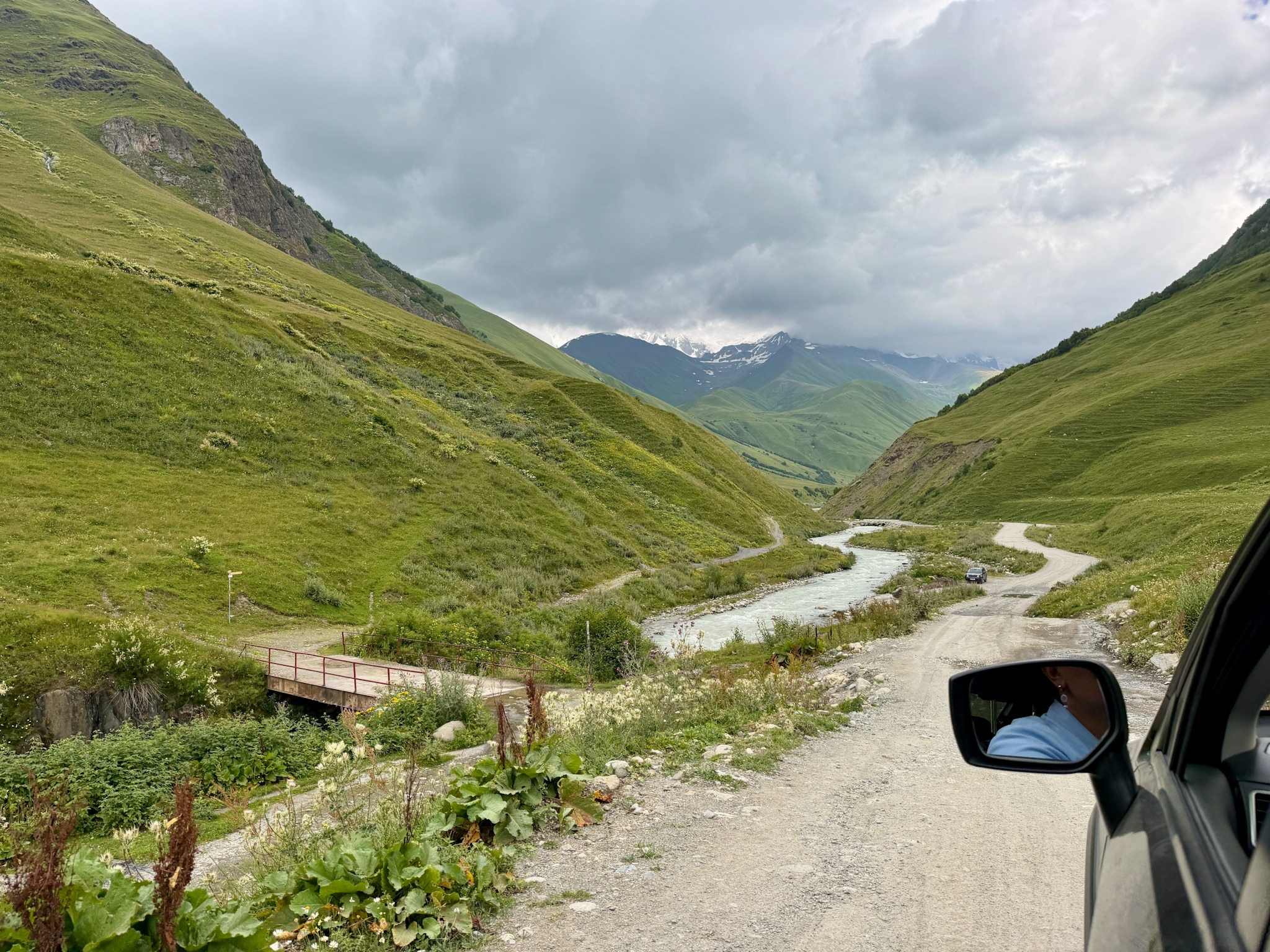
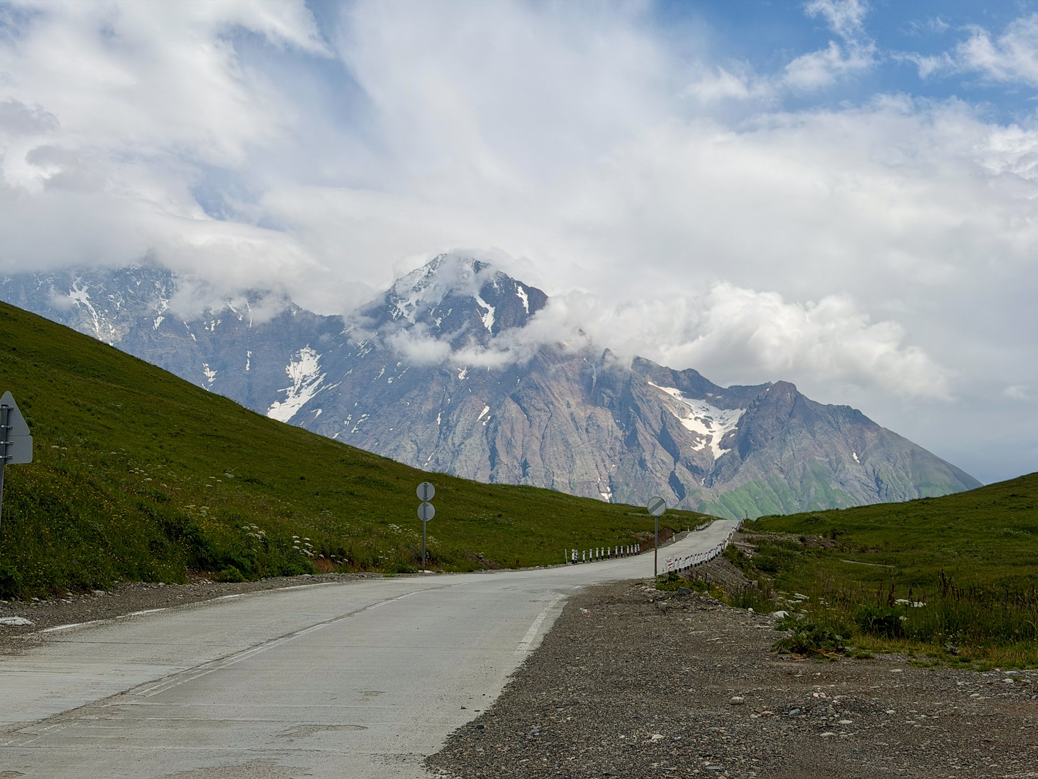
Road to Shkhara Glacier Hike Road
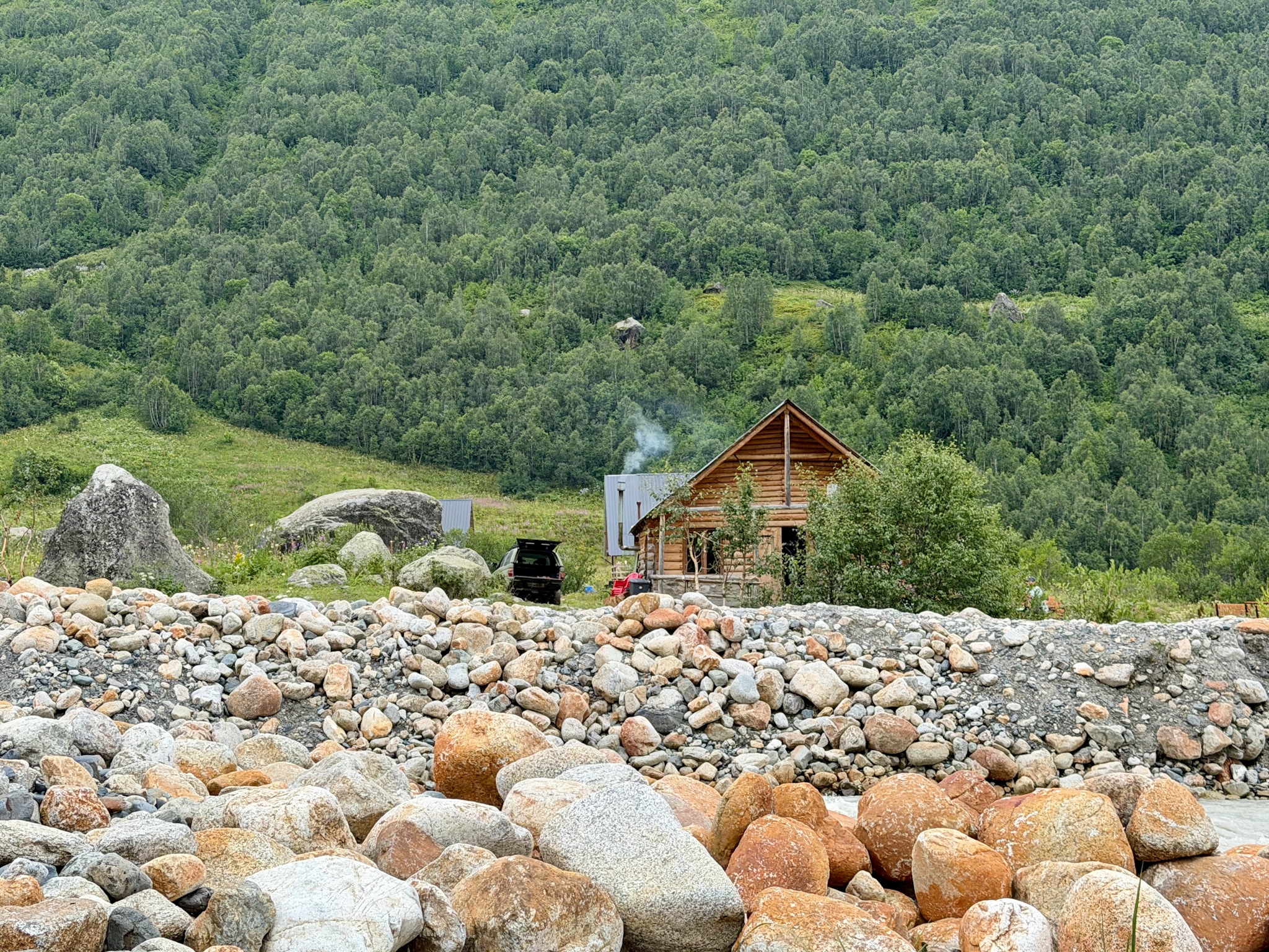
Restaurant at Shkhara Glacier Hike Trailhead
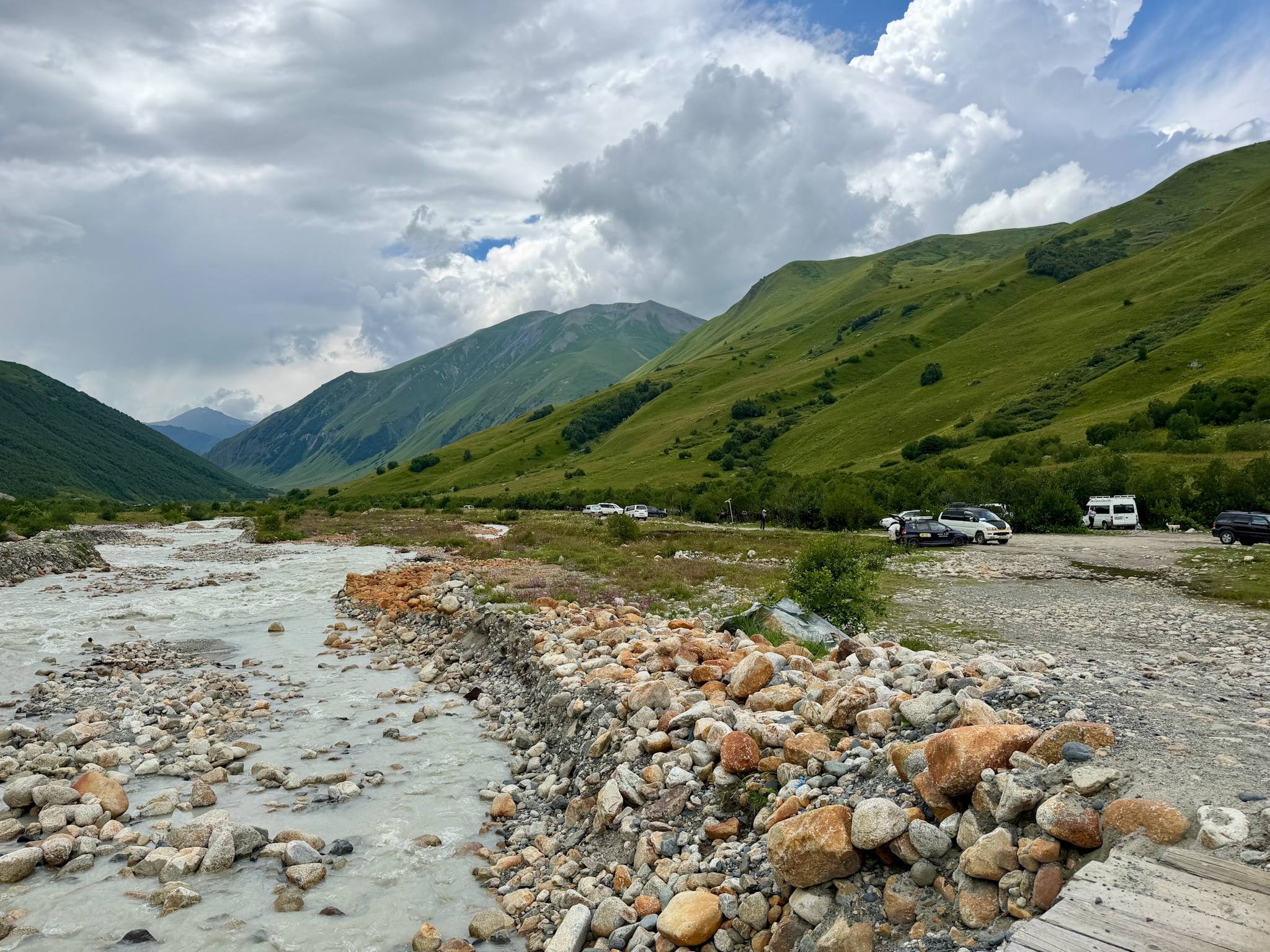
Bridge at Shkhara Glacier Hike
The Signpost and a Gentle, Muddy Path
From the parking lot, the trail starts on the same side of the river. About 300 to 400 meters (1,000 to 1,300 feet) in, you reach a signpost. It says you're at 2,310 m (7,579 ft), with Ushguli 8.1 km (5 miles) behind you and the glacier 1.8 km (1.1 miles) ahead, about 45 minutes away.
From here it's a dirt path through the meadows. The slope is gentle, but the ground is another story. Some stretches are pure mud, slippery and deep enough to swallow half your shoe. It rains a little here almost every day, so don't count on it being dry.
Soon after the signpost the trail also splits a few times, and the right way isn't always the one that looks right. I had a guide, so I just followed. If you're on your own, download the GPS track from AllTrails or Wikiloc before you leave.
Through the Tall Grass
In the second half the vegetation takes over. The grass and wild plants grow so tall and thick that the path almost disappears under them, and you're pushing through. Long pants help a lot here.
Then the meadows open up again, and the glacier is right in front of you. The last few hundred meters are over big boulders, the rocks the glacier left behind as it melted back up the valley. It's slower going, since you need to watch your feet, but it's short.
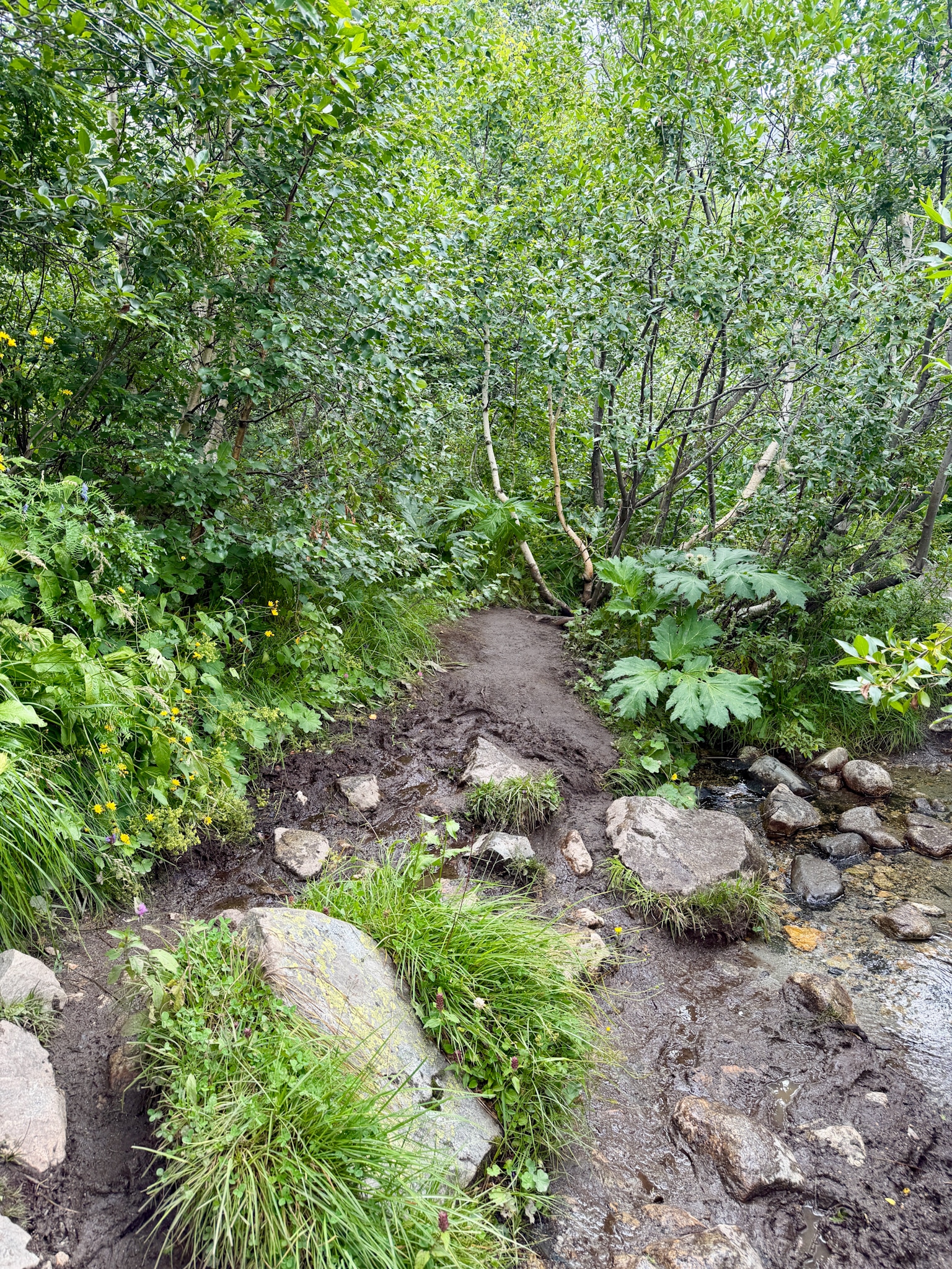
Shkhara Glacier Trail Vegetation
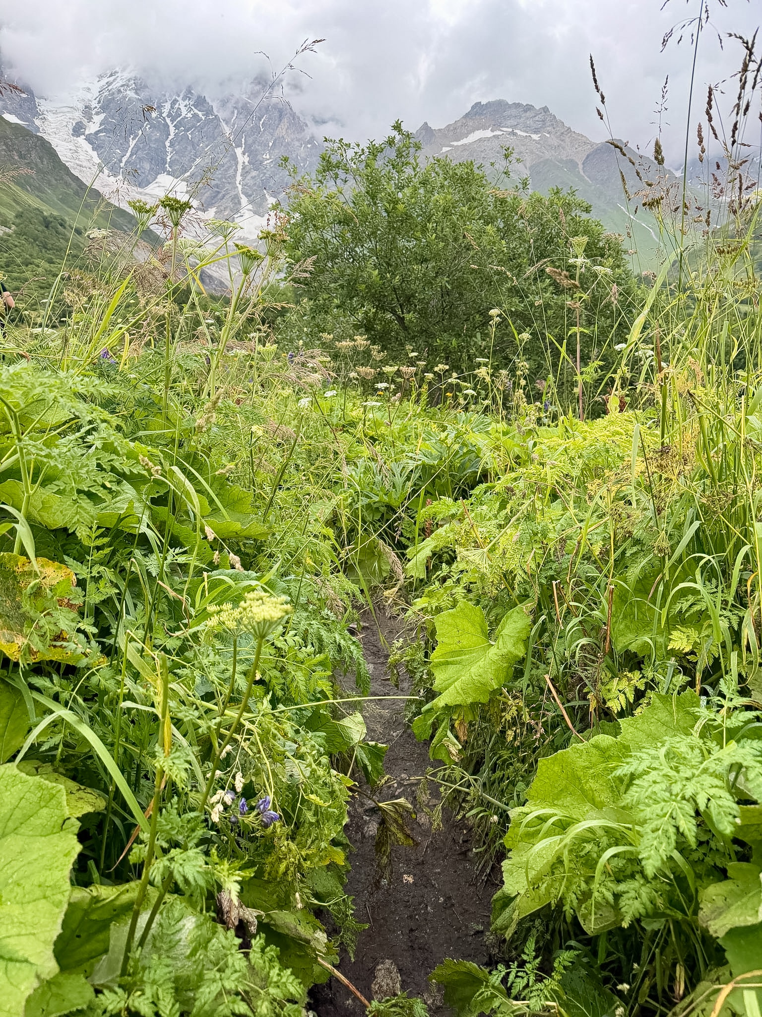
Mud & Tall Grass at Shkhara Glacier Hike
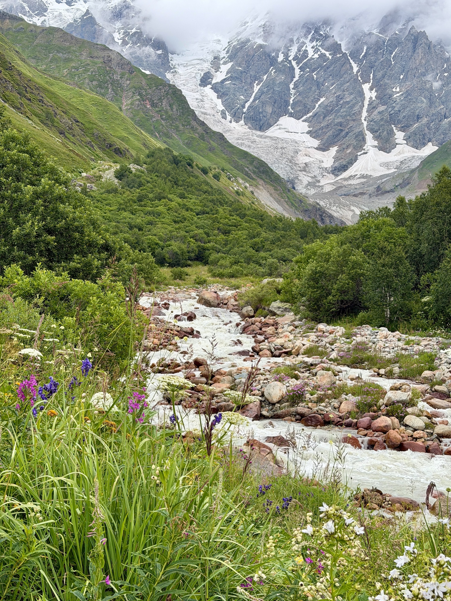
Riverside of Shkhara Glacier Hike
At the Foot of the Shkhara Glacier
When you reach the end of the trail, look up. The mountain above the glacier is Mount Shkhara, at 5,193 m (17,037 ft) the highest peak in Georgia. Its summit sits right on the border with Russia, and from this side it's a huge wall of rock and ice that closes off the whole valley.
The front of the glacier is a tall wall of grey ice, streaked with dirt and covered in rocks on top. At the bottom there's an ice cave, where the meltwater comes out and the Enguri River begins.
It's beautiful, but it's also going away quickly. My guide showed me photos of the same spot from the last few years, and the difference was obvious even without any measurement. At this pace, in a few years there won't be much left to see from here.
The rock walls on both sides of the glacier aren't stable, and stones fall from them often, big ones too. Don't stand right under the walls, and don't walk up to the ice or into the cave.
If you've been to Kazbegi, compare this with the Gergeti Glacier Hike from Trinity Church. There you need a full, steep day to see the ice up close. Here it takes about an hour on a gentle path, and you end up standing right in front of it.
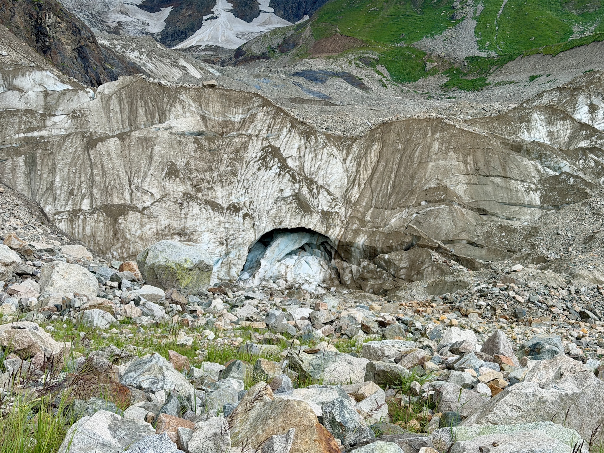
Arrival at Shkhara Glacier Hike
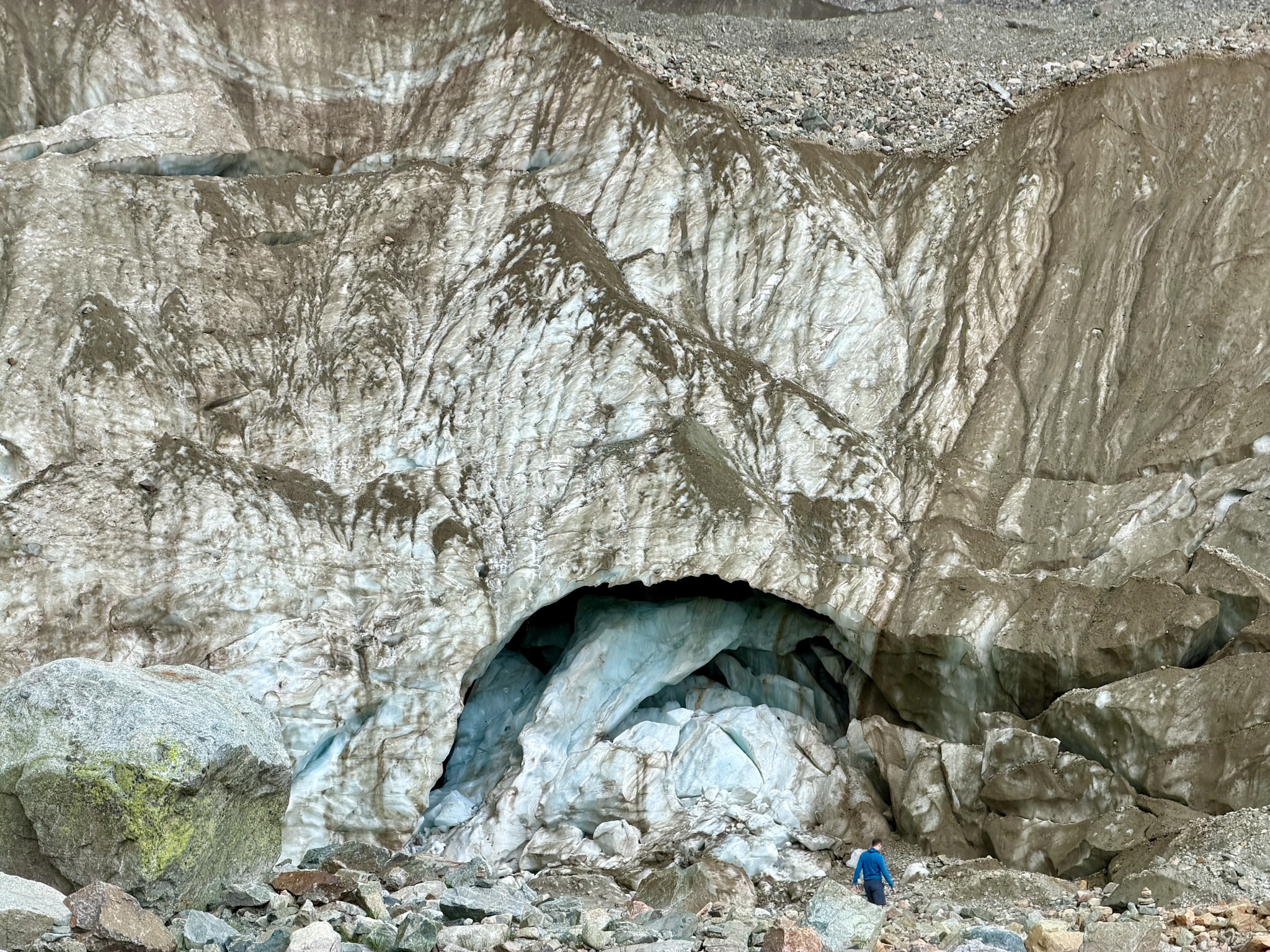
Shkhara Glacier Close Up
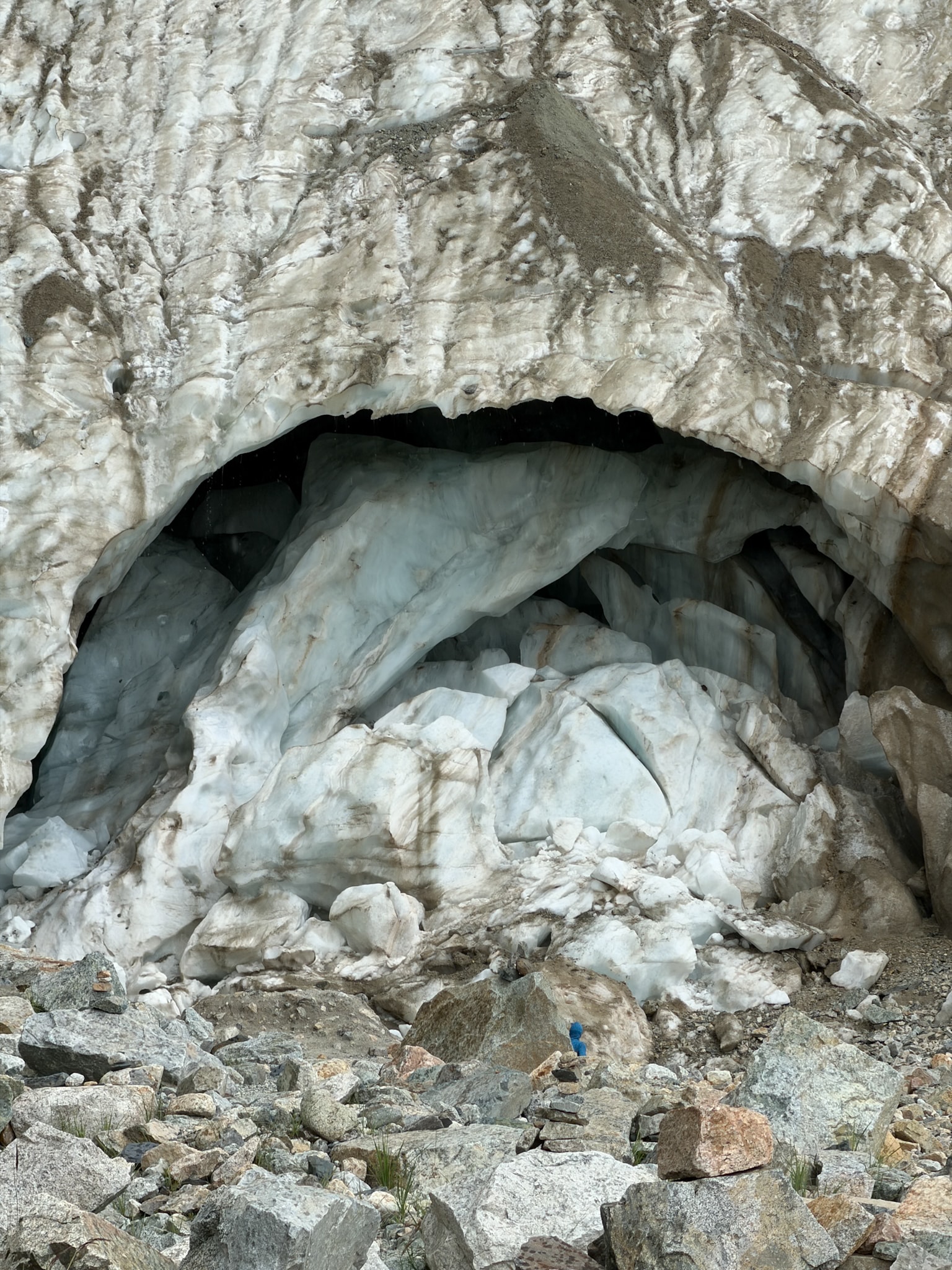
Ice Cave at Shkhara Glacier
Tips for the Shkhara Glacier Hike
Go with long pants. The tall grass is wet most of the time, and it scratches. You will also get better protection from ticks.
Wear waterproof shoes with good grip. Normal sneakers will be soaked and muddy within ten minutes. Hiking shoes or boots with a proper sole make a big difference on the slippery parts.
Bring hiking poles if you have them. They're not needed for the slope, which is gentle, they just help a lot to keep your balance in the mud.
Pack a rain jacket and a warm layer. It can be sunny at the parking lot and raining twenty minutes later. Near the ice it also gets noticeably colder.
Start in the morning if you can. Clouds tend to build over the peaks after lunch. I started at 2 pm and only saw the summits in bits and pieces.
Pair it with other hikes in Svaneti. If you have more days, the Chalaadi Glacier hike near Mestia is just as easy and also ends at an ice cave, while the Shdugra Waterfall hike from Mazeri is a bit harder, with a steep final climb.
FAQ
Is the Shkhara Glacier hike difficult?
No, the slope is gentle all the way and there's no climbing. What makes it tiring is the ground: mud, tall grass, and boulders at the end. The full route is also long, so you need decent fitness for a day on your feet.
Do you need a guide for the Shkhara Glacier hike?
No, a guide isn't required. The trail is easy, but the forks after the signpost can be confusing, so if you go alone, download the track on your phone before you leave. I had a guide because it was included in my tour, and it saved me from guessing at every split.
Is there an entrance fee for the Shkhara Glacier?
No. The hike is free, and so is the parking lot at the restaurant. You only pay for transport, and for food if you stop at the restaurant.
How high is the Shkhara Glacier?
The front of the glacier, where the trail ends, is at around 2,390 m (7,841 ft). Ushguli is a bit lower, at about 2,100 to 2,200 m (6,900 to 7,200 ft), so you gain little altitude on the way.
Is Mount Shkhara the highest mountain in Georgia?
Yes. Depending on the source, it's between 5,193 and 5,203 m (17,037 to 17,070 ft), higher than the much more famous Mount Kazbek near Stepantsminda, which is about 5,054 m (16,581 ft). It's also the third highest peak in the whole Caucasus.
Can you climb Mount Shkhara?
Only if you're an experienced mountaineer. It's a serious glaciated peak with no easy routes, and very few people attempt it each year. The first ascent was in 1888, by a British and Swiss team.
Can you walk on the Shkhara Glacier?
Not on this hike. The trail stops at the front of the glacier, and going onto the ice without gear and a mountain guide isn't safe, especially with the rockfall from the walls on both sides.
Can you see Mount Shkhara from Ushguli?
Yes, on a clear day the Shkhara wall is visible right from the village, especially from around Lamaria Church. The hike brings you much closer, under the ice itself.
Keep reading: