Hiking the Sentiero degli Infreschi in Cilento to Cala Bianca and Baia degli Infreschi, with specific trail times, what to expect at each cove, and practical tips for parking, timing and getting delicious Italian food along the way.
Cilento is one of Italy's most popular summer destinations for Italians themselves, but still fairly unknown outside the country, and the Sentiero degli Infreschi is one of the best reasons to get off the beach chair and actually go explore it on foot.
It's a coastal hiking trail that runs along cliffs and through Mediterranean scrub, connecting a string of coves you can only reach by walking in, or swimming. I did the whole route during a longer trip through Cilento, and if your idea of a good vacation includes some real physical effort in exchange for having incredible views at the end of it, this delivers exactly that.
Sentiero degli Infreschi Hike at a Glance
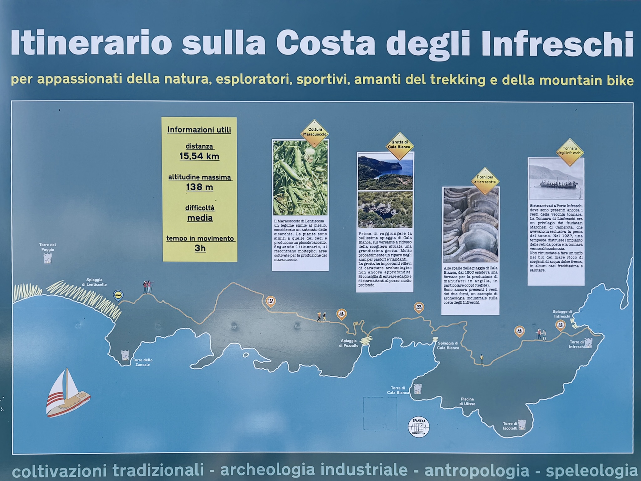
- Distance: around 12 km / 7-5 miles round trip, depening on how many deviations you take
- Highest point: 138 m / 452 feet
- Total elevation gain: around 500 m / 1640 feet
- Difficulty: Moderate, official rating, it calls for decent fitness and sure footing
- Trail time: officially listed as 3 hours of moving time. In practice, I did about 1 hour 45 minutes each way at a relaxed pace. Plan up to 5 or 6 hours total with stops for swimming, photos, and lunch.
- Best time to visit: Spring, early summer, or fall, and start early. Boat traffic picks up at Baia degli Infreschi and Pozzallo later in the day, especially in August
- Download the offline map: Wikiloc trail map, since there are a few forks where it's easy to take a wrong turn
What Is the Sentiero degli Infreschi?
The Sentiero degli Infreschi is a coastal hiking trail on the southern Cilento coast, part of the long-distance European E12 path, cutting through cliffs and Mediterranean scrub between Marina di Camerota and a string of coves further east. The name roughly translates to "trail of the cool springs," after the freshwater springs at the far end that noticeably chill the seawater around them.
Here's what you'll actually pass along the way:
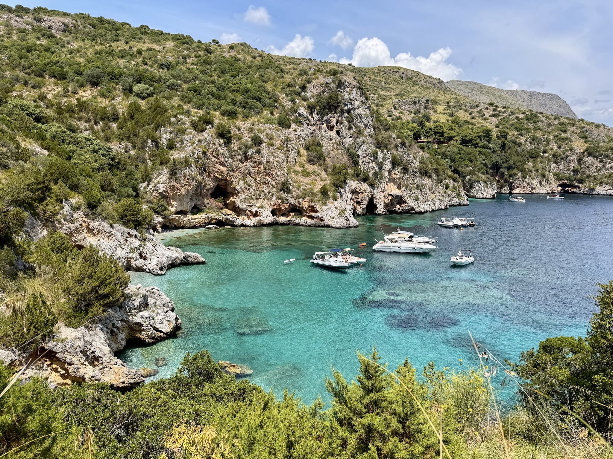
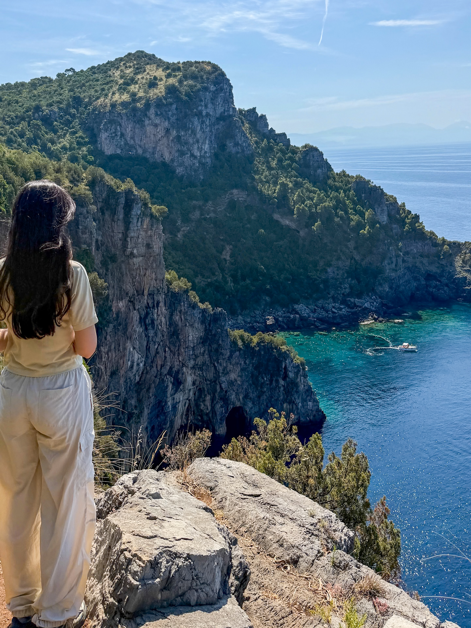
- Cala Fortuna & Cala Monte di Luna: dramatic sea stacks rising out of the water, popular with divers. There's a grotto here lit blue by sunlight filtering through cracks in the rock, but you view it from a clifftop lookout, not on foot; there's no way down to it from the trail.
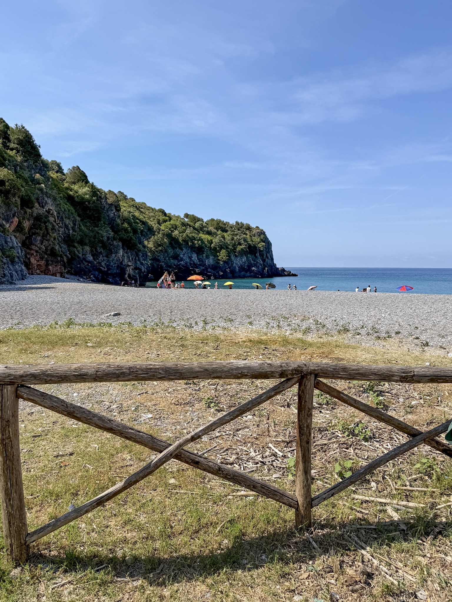
- Spiaggia di Pozzallo: The first cove you can actually walk down into, and the only one with a proper bar and restaurant. There's also a freshwater spring, Santa Caterina, that creates a visibly colder patch of water near the rocks.
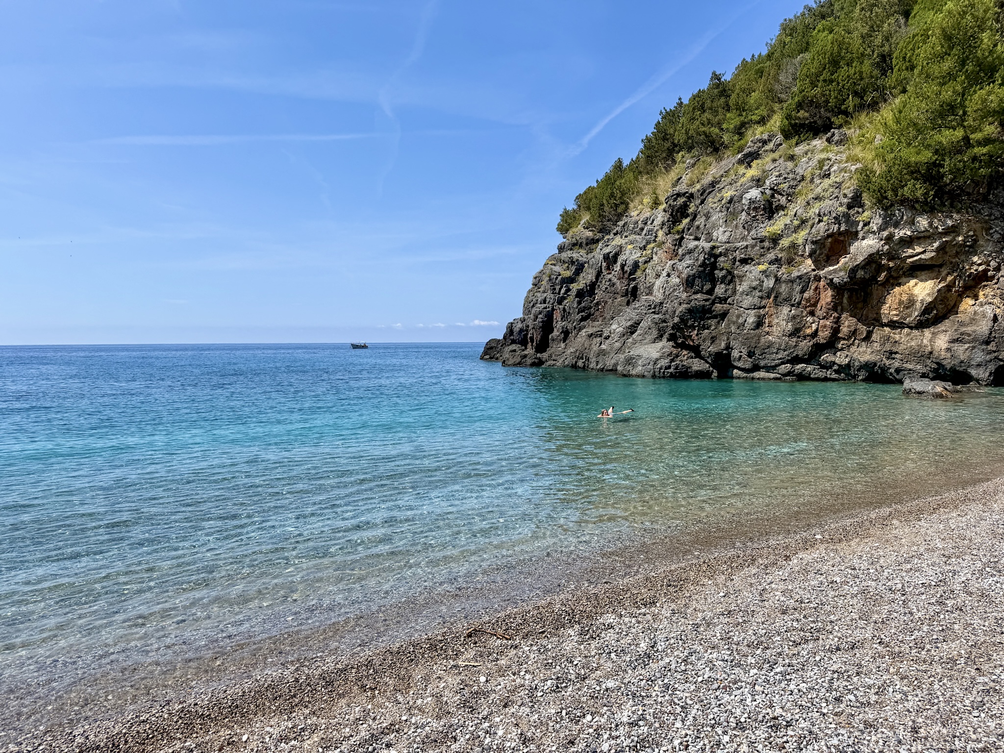
- Spiaggia di Cala Bianca: Voted Italy's most beautiful beach in 2013. Only reachable on foot or by swimming, boats can't get in, which is a big part of why it stays this clean and quiet. There’s a large cave just before the beach, likely used by shepherds or travelers for shelter over the centuries.
- Porto Infreschi: The trail's final stretch, named for the freshwater springs flowing into the sea here. You'll pass the ruins of an old tuna fishery warehouse and a small chapel dedicated to San Lazzaro, plus a 19th-century pottery kiln just off the trail, once used to make roof tiles. Local legend even places Aeneas stopping here during his voyage along the Tyrrhenian coast.
One more thing worth knowing: the entire trail runs through the Costa degli Infreschi e della Masseta Marine Protected Area, established in 2009, which is a big part of why the water stays this clear. It's also home to loggerhead sea turtles and common dolphins.
How to Get to the Trailhead
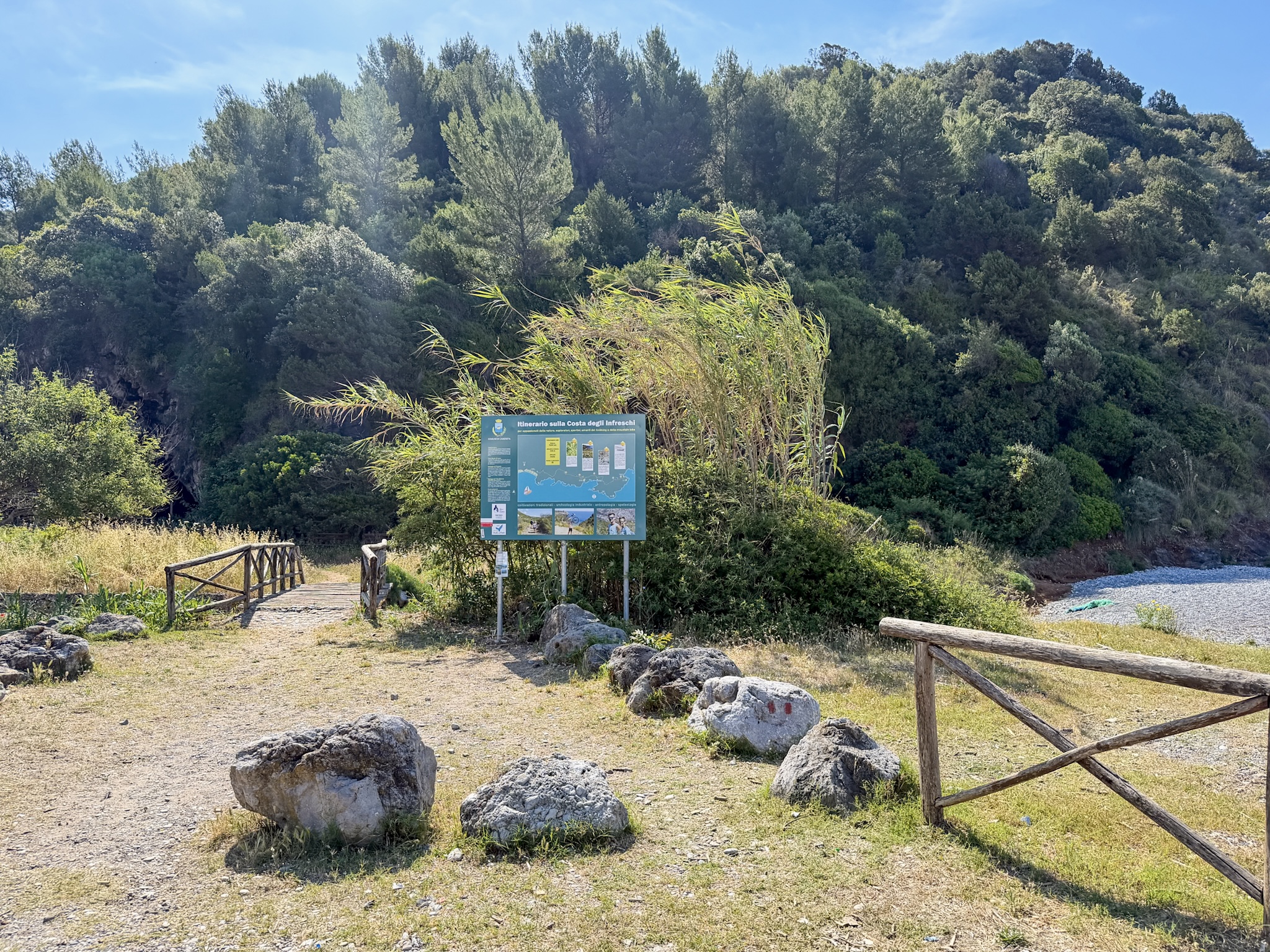
The trailhead is located in Marina di Camerota, at the far end of Lentiscelle beach: past the last beach club, a small cemetery on your left, then straight ahead where you’ll see a big poster describing the hike.
By car
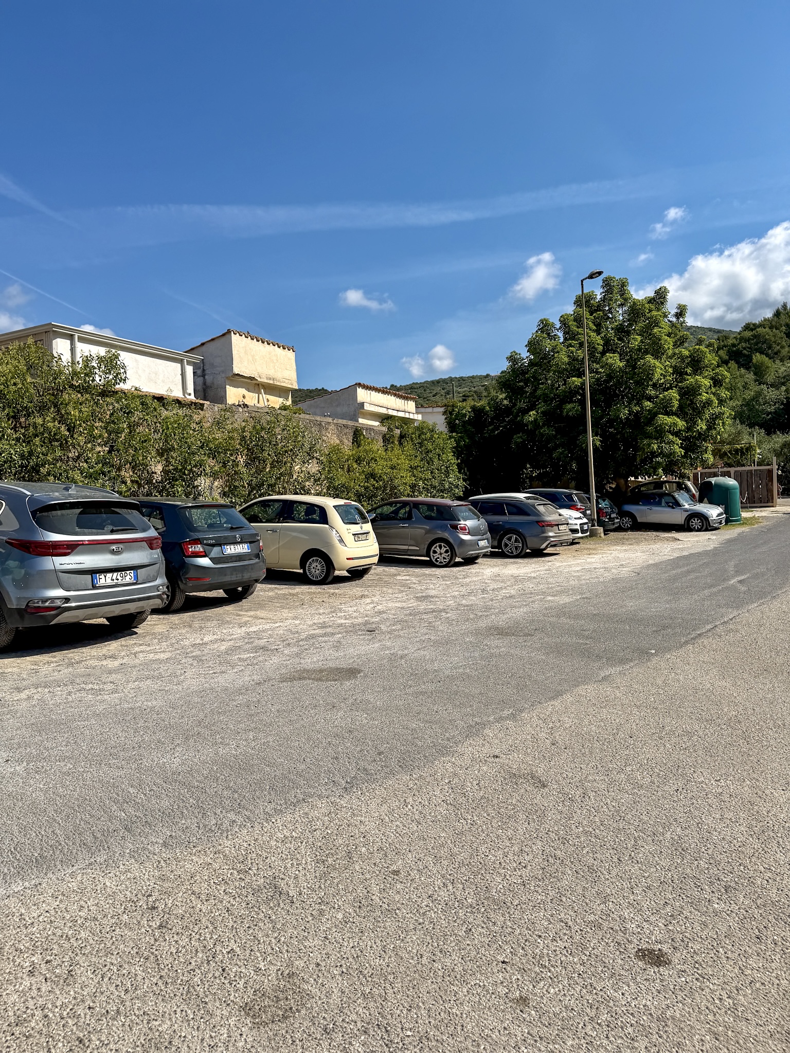
If you get there by car, you’ll find a parking area right at the trail entrance, clearly marked. In summer there's a paid lot, around €3 for half a day or €5 for the full day. If that's full or you'd rather not pay, there's sometimes free parking a short walk away near the cemetery.
By public transport
Realistically, this isn't a hike you day-trip to by public transport. Local buses and taxis in this part of Cilento are limited and not always reliable, so trying to time a day trip around a connecting bus schedule just isn't practical.
Two feasible approaches which involve spending at least 1-2 nights in the area:
- Take the train to the Centola-Palinuro-Marina di Camerota station and arrange a pickup with your accommodation from there. Most places in the area offer this. Marina di Camerota is the ideal base, since the Lentiscelle trailhead is walkable straight from town. Staying in Palinuro works too, but you'll need to sort out the last stretch to Camerota yourself, either on a very limited local bus or with a local taxi, since it's not walkable from there.
- If your trip also includes Paestum, Infante runs a seasonal bus that stops at both the Paestum temples and Marina di Camerota's Lungomare stop, about 1 km from the trailhead. Their routes and stops shift by season, so check current timetables before relying on it.
-
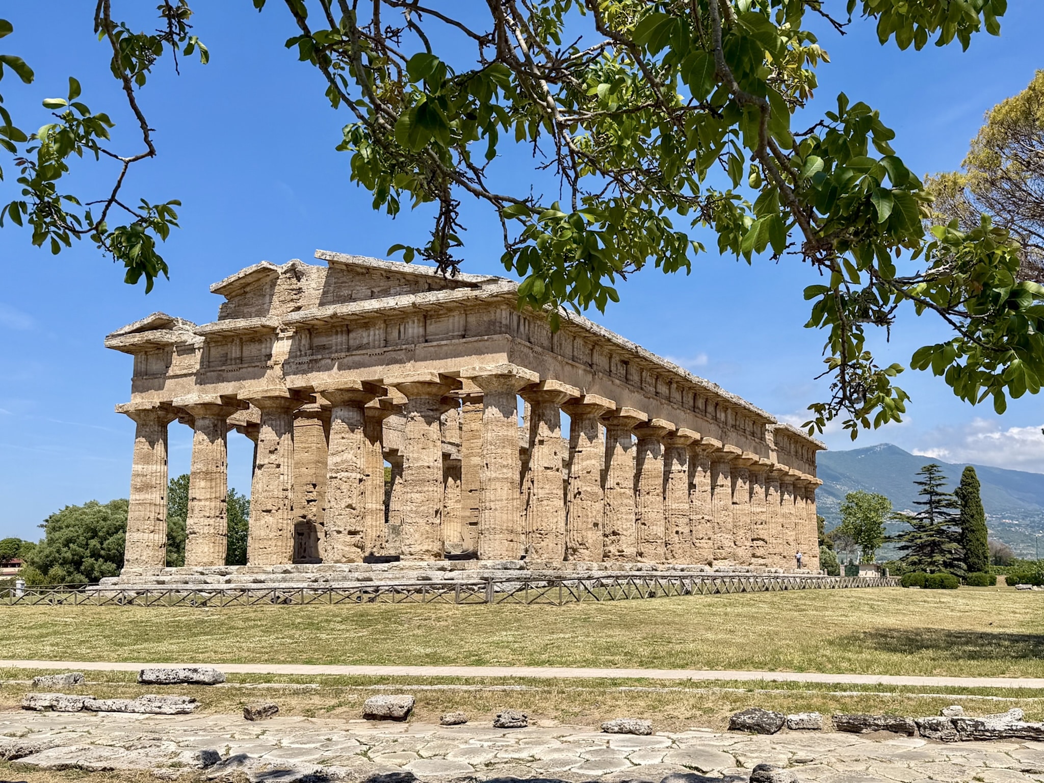
- If you're planning on visiting Paestum, I wrote up a full guide here: Paestum, Italy: How to Visit its Ruins & Temples
The Hike, Step by Step
I started at 9:45 am, right at the trail sign past the parking area.
Trailhead & First Viewpoints
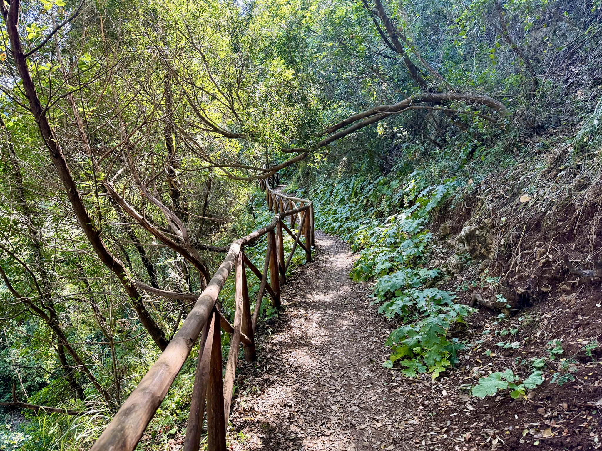
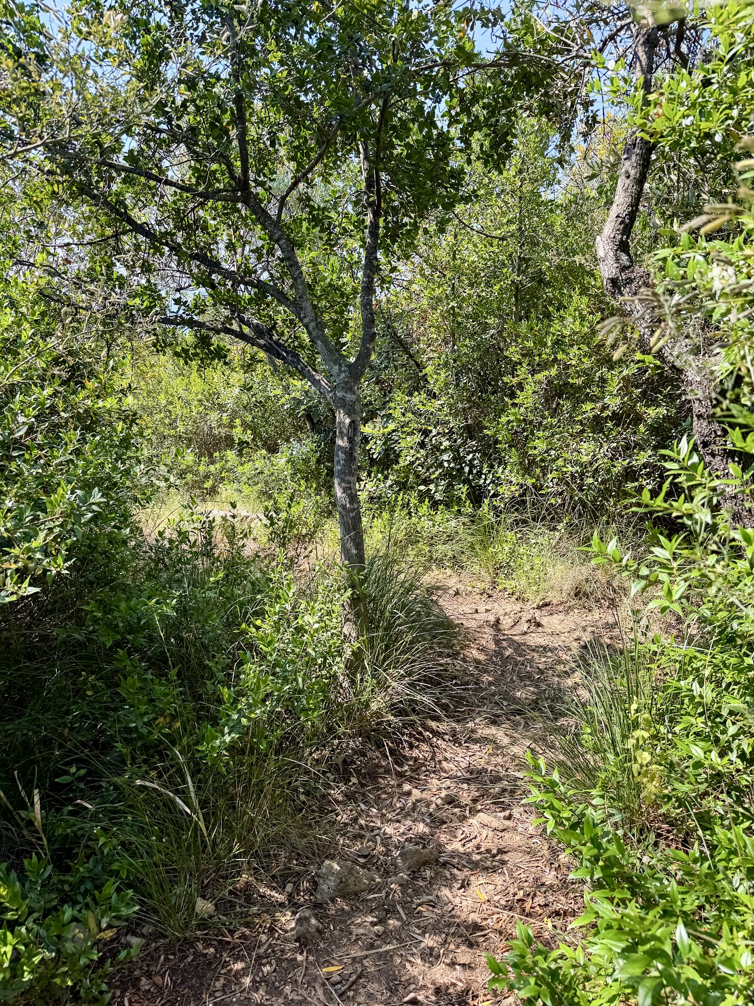
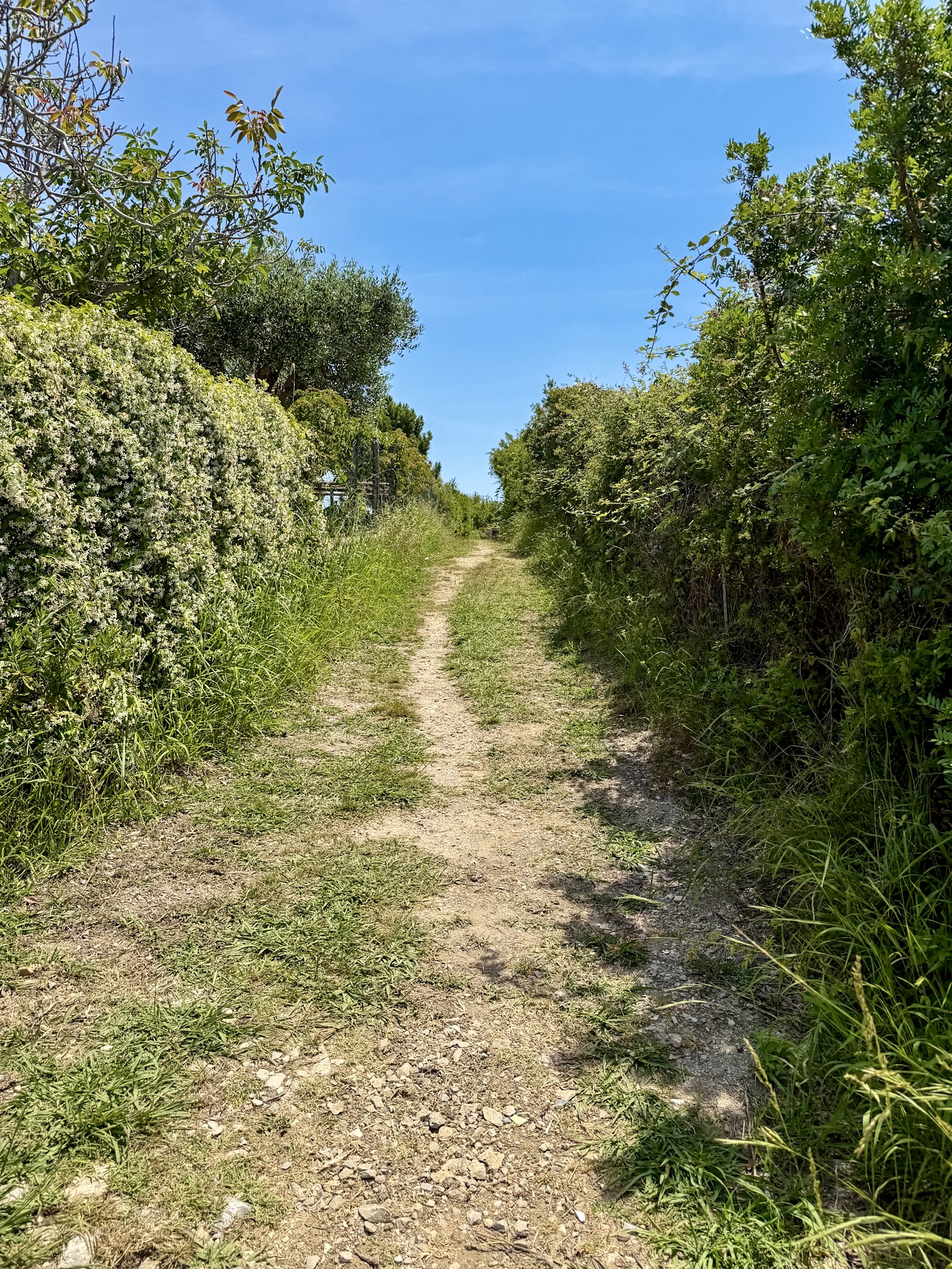
The trail opens with a climb up a set of stairs cut into a cool, shaded forest, a genuinely nice way to start before the sun gets serious. Once you're up and out of the trees, the landscape opens completely: dry, sun-baked hills, narrow track and groves, and finally long stretches with a clifftop view straight down onto Cala Fortuna and Cala Monte di Luna. You can't walk down to either of them. You just get to admire them from above as you pass.
Pozzallo Beach
I reached Pozzallo Beach at 10:45, an hour in. It's the first cove where the trail actually lets you go down to the water, and it's a good one, though it doesn't stay quiet for long. Beyond hikers, it's reachable by 4x4 via alternate roads the locals know about, so by mid-morning it starts filling in.
I didn't stop long on the way out, just a quick look, before continuing on. I did stop here again on my way back to Marina to have lunch at the local beach restaurant.
Cala Bianca
By 11:15 I was at Cala Bianca, and this is where having the offline map helped, as the turnoff down to the beach isn't obvious from the main trail, easy to miss if you're not paying attention. Worth it once you're down there, though.
This was my favorite beach. The sand and gravel are lighter here than at Pozzallo, the water is a sharper, more saturated blue, and since boats can't get in, it stays genuinely calm. I stopped for a proper swim here. There’s a small cave on the left where people will leave their kayak for a refreshing break.
Baia degli Infreschi
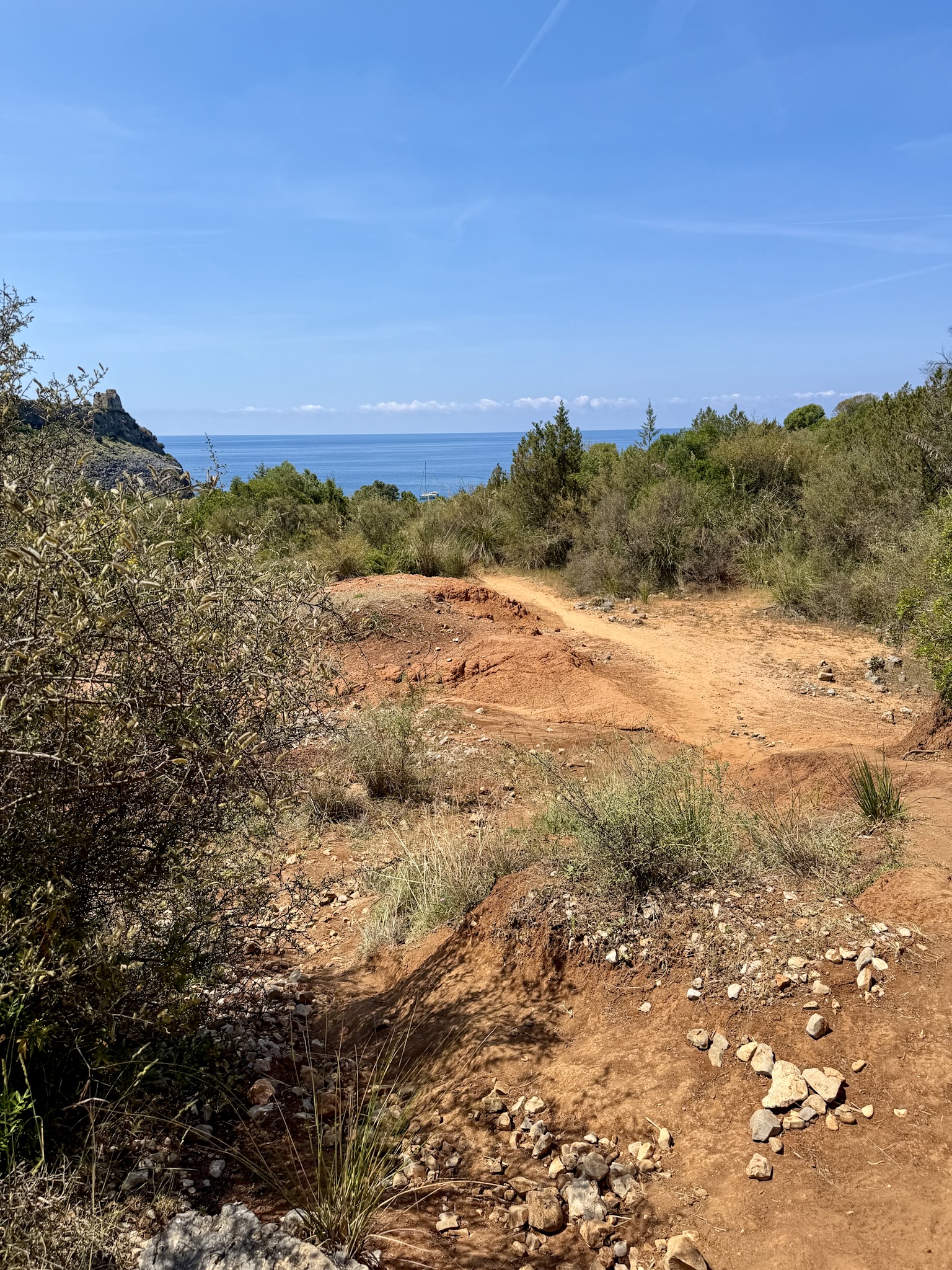
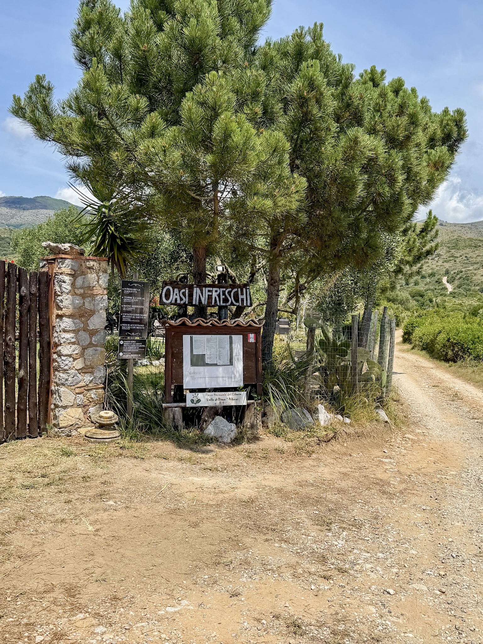
Left Cala Bianca around noon. On the way, I passed a place called Azienda Agricola Oasi Infreschi, an organic farm restaurant on the hill roughly halfway between Cala Bianca and Infreschi. I didn't stop, but it shows up again and again in reviews as one of the best meals people have had in the area.
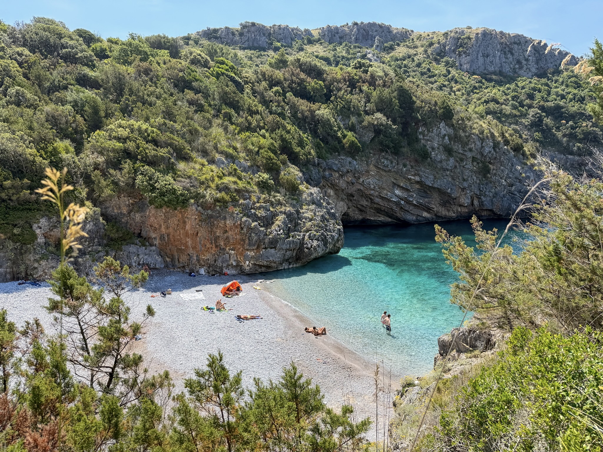
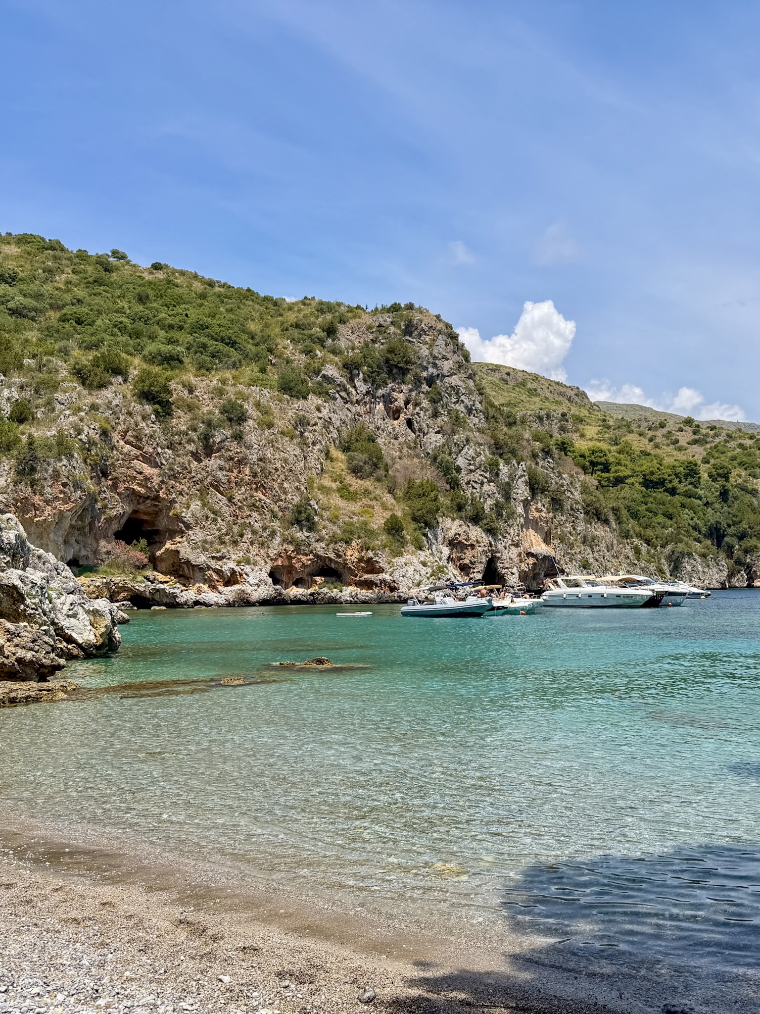
By about 12:45 I passed an old terracotta kiln, right along the trail, up above the Baia degli Infreschi. I reached the famous terrace and then the beach itself at 12:48.
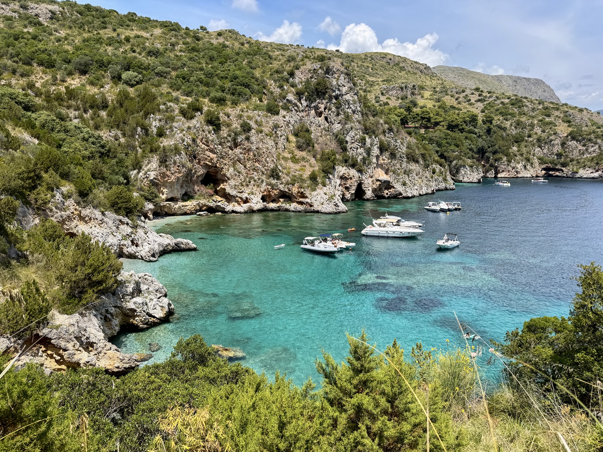
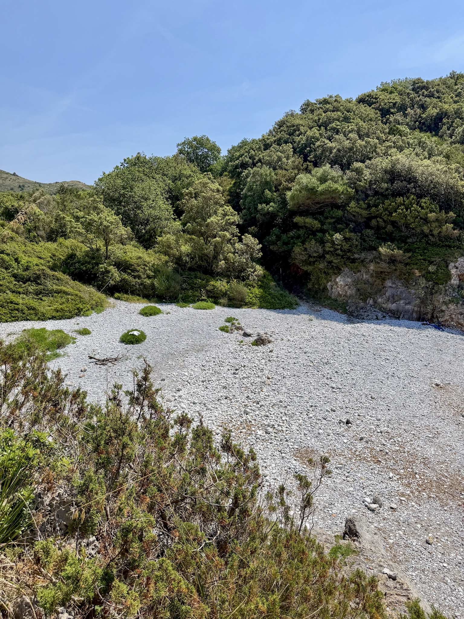
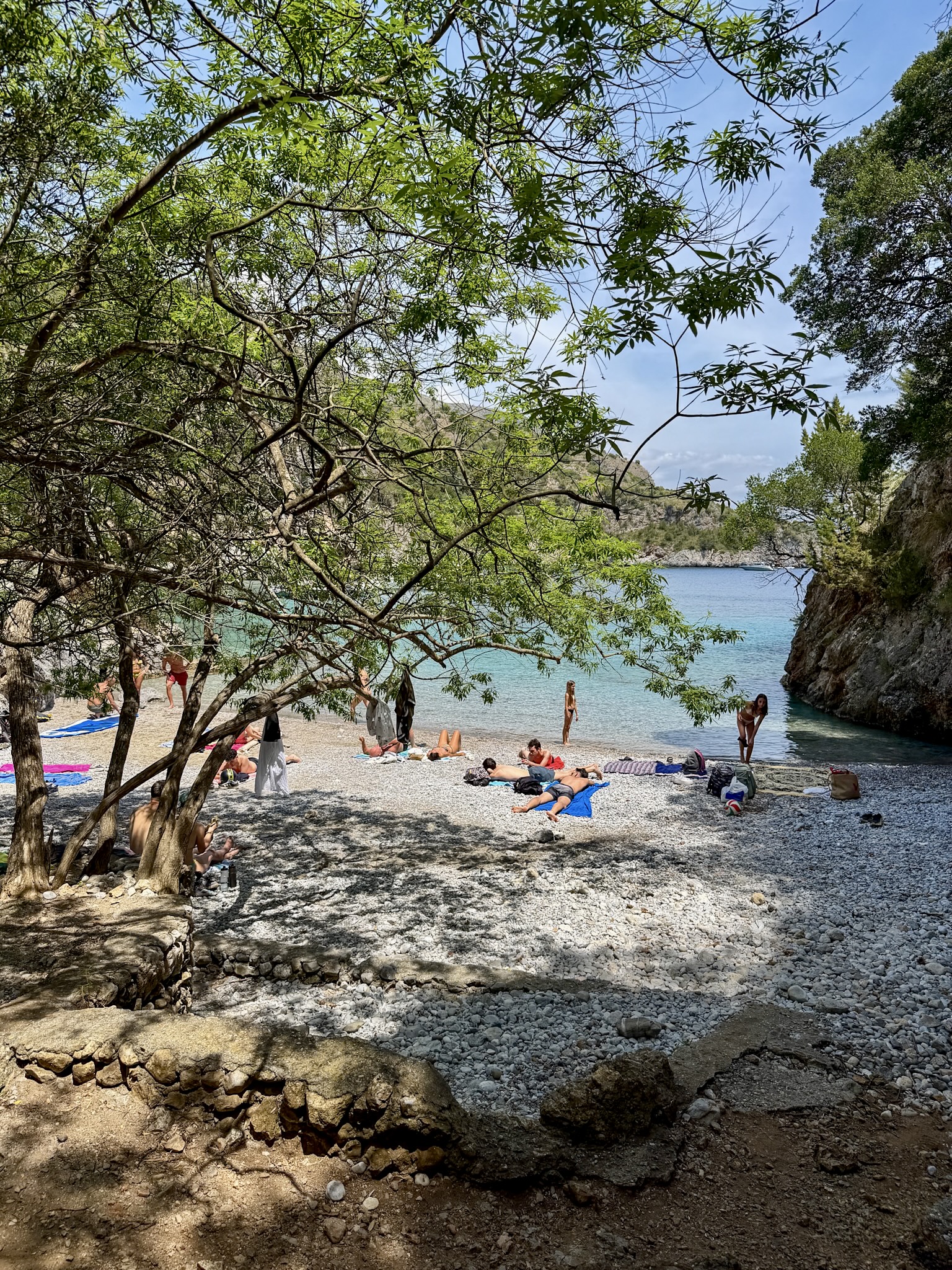
Baia degli Infreschi beach is genuinely pretty, but small, small enough that it fills up fast once the boat crowds start arriving alongside the hikers. If you want it with any breathing room, getting there before midday, like I did, makes a real difference.
Sometimes there's a boat moored on the beach that doubles as a restaurant, though it wasn't there when I visited in early June, so don't count on it either way. Some locals praise the food, others complain about an oil slick from the boat traffic affecting the water.
Lunch & The Way Back
One thing worth knowing: if the walk back doesn't appeal after a full day on your feet, some hikers do the trail one way and take a boat back to Marina di Camerota instead. That has to be arranged ahead of time with a boat or tour operator, though, not something you can book on the spot at the beach.
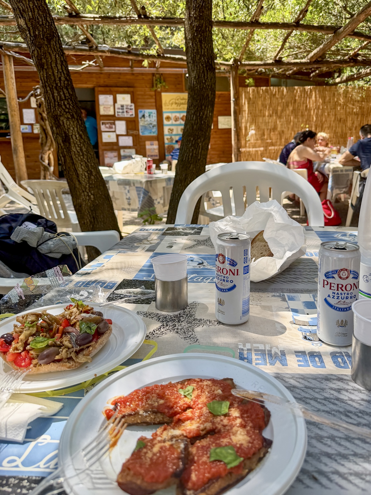
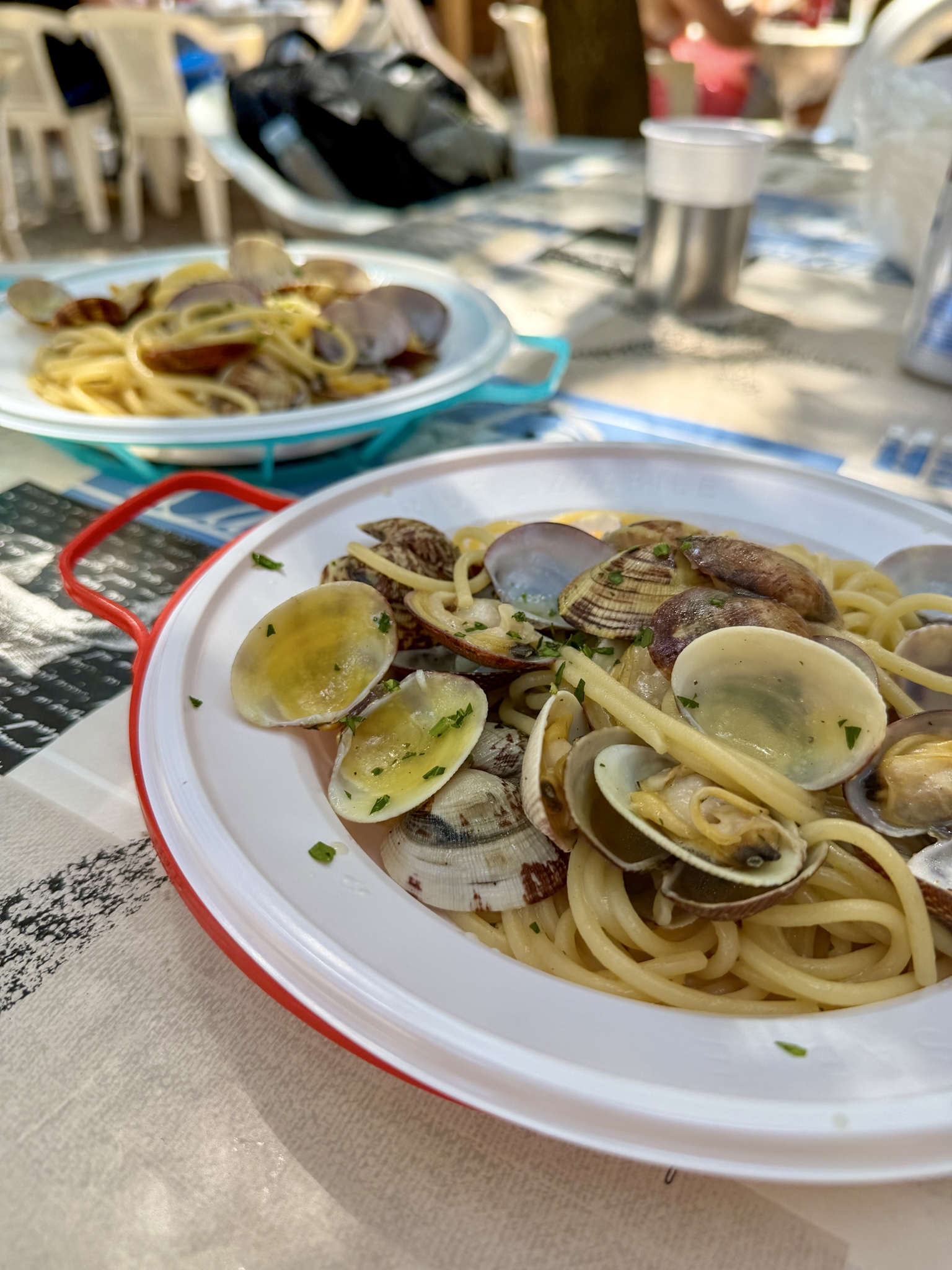
Anyhow, I decided to backtrack the same way I came. By around 13:45 I was back at Cala Pozzallo, and this time I actually stopped, for a proper, unhurried lunch at the restaurant there. I had delicious spaghetti alle vongole and some eggplant dishes typical of Cilento.
From there it was the same walk back to the trailhead at Lentiscelle.
FAQ about the Hike
Any tips for this specific hike?
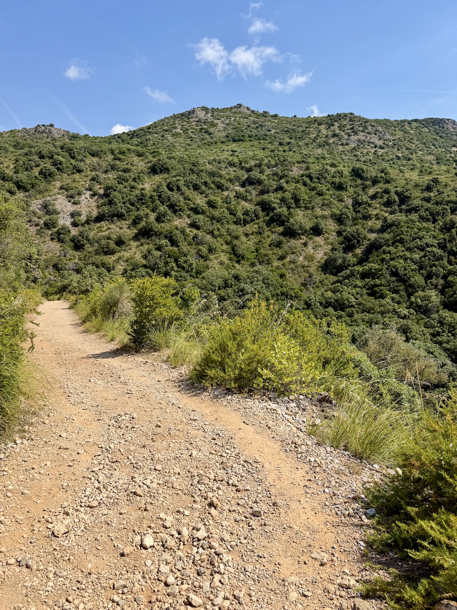
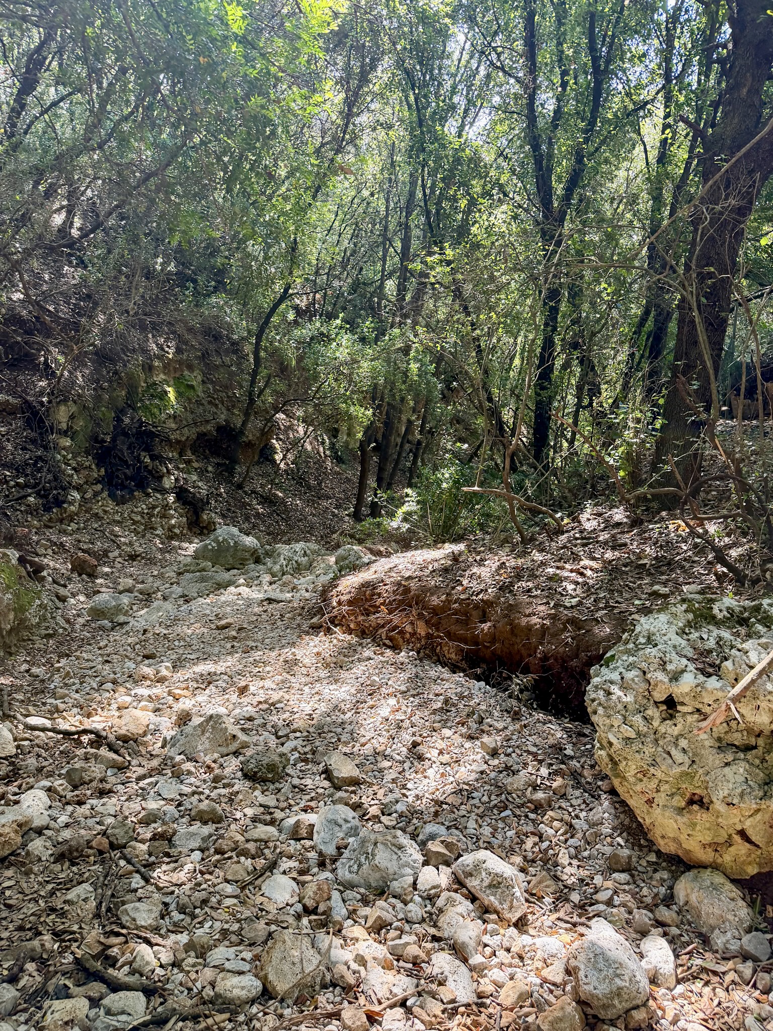
- Wear real hiking shoes, not sandals. Parts of the trail cross dry riverbeds and loose gravel, and the turnoffs down to Cala Bianca and some of the other coves aren't always obvious, so decent grip and ankle support are important. If you want to relax in Cala Bianca or Pozzallo, simply put a pair of flip flops in your backpack, too.
- Bring more water than you think you need. The only place to refill along the way is the bar at Pozzallo, and that's seasonal, open in summer only. Everywhere else, you're on your own.
- Sun protection is non-negotiable. Long stretches of the trail have zero shade once you're out of the initial forest section, and with up to 5-6 hours out there, that adds up fast.
- Start early, and go outside peak summer if you can. Both Pozzallo and Baia degli Infreschi see boat traffic pick up as the day goes on, especially in August. An early start, or a visit in spring, late spring, or fall, gets you a much quieter version of this hike.
- A few hikers have reported stray dogs along the stretch near Infreschi. They're generally harmless, but worth knowing about if you're hiking with kids or are uneasy around dogs. Personally, I didn’t see them at all.
Can you do this hike with kids?
Generally yes, if they're used to walking and in decent shape. That said, some organized guided tours in the area set a minimum age of 16 for their groups, which tells you it's not a stroll either. Going independently with younger kids, plan for a slower pace and be honest about their stamina before committing to the full round trip.
Is the trail well-marked, or do you need GPS?
Officially, yes, it's signposted. In practice, there are enough forks and unmarked turnoffs, especially the descent into Cala Bianca, that I'd still treat the offline map as essential. Signage gets you most of the way but it won't save you from missing a turn.
Are there restrooms along the trail?
No, not on the trail itself, and none of the coves have facilities either. The seasonal bar-restaurant at Pozzallo is your one realistic option, and even that depends on it being open for the season.
Is there an entrance fee for the trail?
No, the trail itself is free, no tickets or checkpoints. The only cost is parking at the Lentiscelle trailhead in summer, covered in the "How to Get to the Trailhead" section above.
Can you bring a dog?
Yes, dogs are allowed on this trail. Keep in mind the uneven terrain and lack of shade apply to them too, so bring water for your dog as well.
Can you see these coves without hiking?
Yes, boat tours run from the port of Marina di Camerota and stop at Pozzallo Beach and Baia degli Infreschi, usually for around $25 to $30 for a couple of hours. The boat route also swings by sea caves you can't see from the trail at all, like Grotta Azzurra and Grotta degli Innamorati, since those are only accessible from the water. If the caves matter more to you than the hike itself, the boat is genuinely the better option. Cala Bianca is the only cove that is not accessible by boat.